War Memorial Park in West Bridgewater in Plymouth County, Massachusetts — The American Northeast (New England)
Pulpit Rock
Photographed by G.W.Bartlett, April 4, 2026
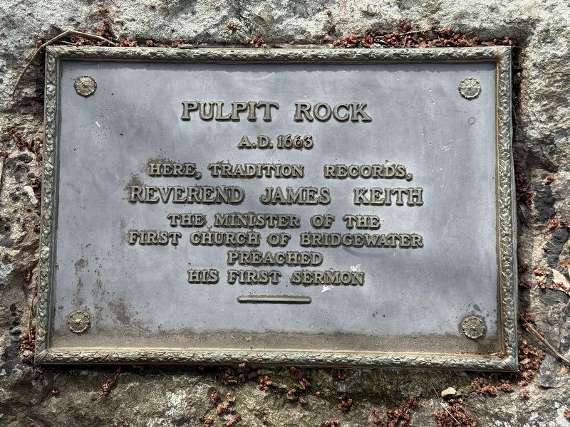
1. Pulpit Rock Marker
A.D.1663
Here, tradition records,
Reverend James Keith,
the minister of the
First Church of Bridgewater
preached his first sermon.
Topics. This historical marker is listed in these topic lists: Colonial Era • Religion & Religious Structures • Settlements & Settlers. A significant historical year for this entry is 1663.
Location. 42° 1.029′ N, 71° 0.423′ W. Marker is in West Bridgewater, Massachusetts, in Plymouth County. It is in War Memorial Park. It can be reached from River Street 0.1 miles south of S Main Street (State Route 28), on the left when traveling south. Located in War Memorial Park. Touch for map. Marker is in this post office area: West Bridgewater MA 02379, United States of America. Touch for directions.

Regionally, this marker is in Greater Boston. It is also in the American Northeast, in New England, and on the Eastern Seaboard. Globally, it is in the North Atlantic Region, North America, the Western Hemisphere, the Western World, and the Anglosphere. Historically, it finds itself in what was once one of the original Thirteen Colonies.
Other nearby markers. At least 8 other markers
this page online
Related marker. Click here for another marker that is related to this marker.

Photographed by G.W.Bartlett, April 4, 2026
2. Pulpit Rock

Photographed by G.W.Bartlett, April 4, 2026
3. Pulpit Rock wide view
Pulpit Rock on the left bank of Town Brook.

Photographed by G.W.Bartlett, April 4, 2026
4. Bridge over Edson Mill Runs
Bridge across Town Brook’s mill runs in War Memorial Park.
Credits. This page was last revised on April 12, 2026. It was originally submitted on April 4, 2026, by G.W.Bartlett of Hingham, Massachusetts. This page has been viewed 64 times since then. Photos: 1, 2, 3, 4. submitted on April 4, 2026, by G.W.Bartlett of Hingham, Massachusetts. • Michael Herrick was the editor who published this page.
