Koshkonong in Oregon County, Missouri — The American Midwest (Upper Plains)
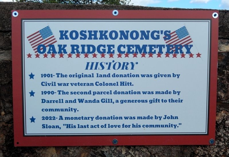
Koshkonong's Oak Ridge Cemetery History
Photographed by Cosmos Mariner, September 26, 2025
1. Koshkonong's Oak Ridge Cemetery History Marker
☆ 1901 — The original land donation was given by Civil war veteran Colonel Hitt.
☆ 1990 — The second parcel donation was made by Darrell and Wanda Gill, a generous gift to their community.
☆ 2022 — A monetary donation was made by John Sloan, “His last act of love for his community.”
Topics. This historical marker is listed in these topic lists: Cemeteries & Burial Sites • Charity & Public Work. A significant historical year for this entry is 1901.
Location. 36° 36.313′ N, 91° 38.653′ W. Marker is in Koshkonong, Missouri, in Oregon County. It is on U.S. 63 just south of Z Highway (County Road Z), on the right when traveling north. The marker is mounted on the Oak Ridge Cemetery west perimeter wall, facing US Highway 63. Touch for map. Marker is in this post office area: Koshkonong MO 65692, United States of America. Touch for directions.

Regionally, this marker is in Southeast Missouri. It is also in the American Ozarks, in the Lewis & Clark Corridor, and in the Corn Belt. Globally, it is in North America, the Western Hemisphere, the Western World, and the Anglosphere. Historically, it finds
this page online
Other nearby markers. At least 8 other markers are within 10 miles of this marker, measured as the crow flies: City of Koshkonong (approx. 0.6 miles away); Jailhouse (approx. 0.6 miles away); Mittlestedter House (approx. 0.6 miles away); Tedd Jasper Gullic (approx. 0.7 miles away); Grand Gulf Sink (approx. 4.2 miles away); Grand Gulf (approx. 4.2 miles away); Community Auditorium (approx. 9.4 miles away in Arkansas); George D. Hay (approx. 9.6 miles away in Arkansas). Touch for a list and map of all markers in Koshkonong.
Also see . . . Koshkonong Cemetery, also known as Oak Ridge Cemetery (Find A Grave). (Submitted on April 6, 2026, by Cosmos Mariner of Cape Canaveral, Florida.)
Photographed by Cosmos Mariner, September 26, 2025
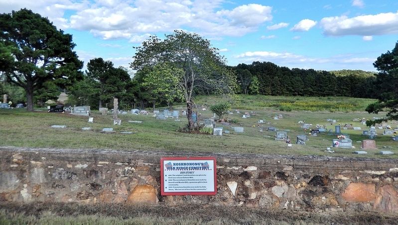
2. Koshkonong's Oak Ridge Cemetery History Marker
Looking east into Oak Ridge Cemetery from US Highway 63.
Photographed by Cosmos Mariner, September 26, 2025
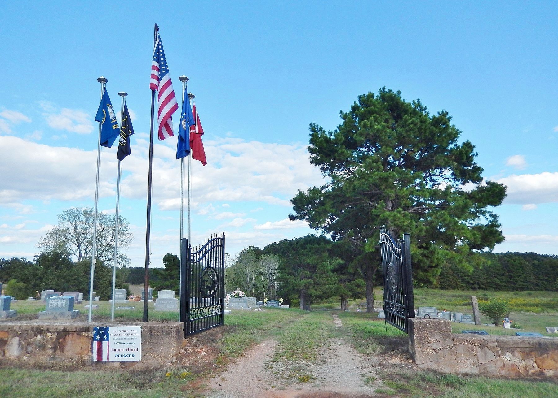
3. Oak Ridge Cemetery Entrance
The cemetery entrance is about 15 meters north of the historical marker.
Credits. This page was last revised on April 6, 2026. It was originally submitted on April 5, 2026, by Cosmos Mariner of Cape Canaveral, Florida. This page has been viewed 23 times since then. Photos: 1, 2, 3. submitted on April 6, 2026, by Cosmos Mariner of Cape Canaveral, Florida.
