St. Marys in Auglaize County, Ohio — The American Midwest (Great Lakes)
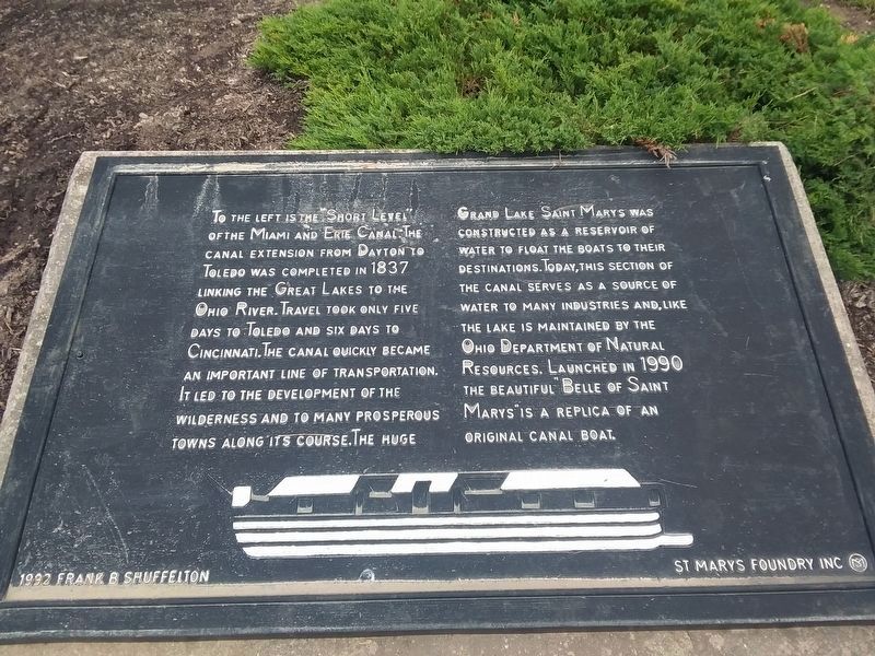
The "Short Level" of the Miami and Erie Canal
Erected 1992.
Topics and series. This historical marker is listed in these topic lists: Industry & Commerce • Waterways & Vessels. In addition, it is included in the The Miami & Erie Canal series list. A significant historical year for this entry is 1837.
Location. 40° 32.599′ N, 84° 23.24′ W. Marker is in St. Marys, Ohio, in Auglaize County. Marker can be reached from Spring Street (Ohio Route 29) west of South Chestnut Street. This historical marker is located in a downtown community park that is located off of West South Street between West Chestnut Street and the St. Marys River. The historical marker is physically situated just north of the east end of a covered bridge, between the St. Marys River and the Miami and Erie Canal. Touch for map. Marker is at or near this postal address: 141 East Spring Street, Saint Marys OH 45885, United States of America. Touch for directions.
Other nearby markers. At least 8 other markers are within walking distance of this marker. Miami and Erie Canal (here, next to this marker); Saint Marys River (a few steps from this marker); The headwaters of the St. Marys River lie just southeast of the City of St. Marys. (a few steps from this marker); St. Marys Veterans Memorial (a few steps from this marker); Memorial Park (a few steps from this marker); With Honor and Remembrance (within shouting distance of this marker); 8-inch Rodman Gun (within shouting distance of this marker); Serving Our Country (within shouting distance of this marker). Touch for a list and map of all markers in St. Marys.
Photographed By Dale K. Benington, April 6, 2010
2. The "Short Level" of the Miami and Erie Canal Marker
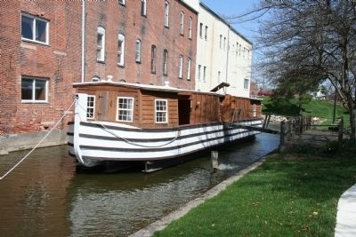
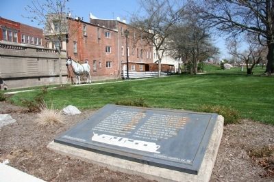
View of historical marker in the foreground with a view of the Miami and Erie Canal in the background with the canal boat replica Belle of Saint Marys tied up on the park side of the canal, for display purposes.
Photographed By Dale K. Benington, April 6, 2010
3. The "Short Level" of the Miami and Erie Canal Marker
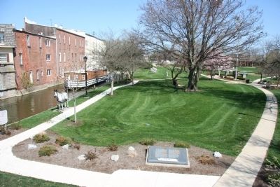
An elevated view of the historical marker in the center foreground, with a view of the Miami and Erie Canal (with the Belle of St. Marys replica canal boat) on the left and the downtown park in the center-left of the picture.
Photographed By Dale K. Benington, April 6, 2010
5. The "Short Level" of the Miami and Erie Canal Marker
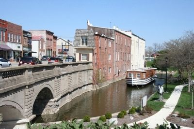
An elevated view looking east of Spring Street and its downtown business district (canal era) buildings on the left, of the Miami and Erie Canal in the center (with a view of the Belle of St. Marys canal boat replica), and the downtown park on the right.
Credits. This page was last revised on January 28, 2021. It was originally submitted on April 10, 2010, by Dale K. Benington of Toledo, Ohio. This page has been viewed 1,516 times since then and 13 times this year. Photos: 1. submitted on January 28, 2021, by Craig Doda of Napoleon, Ohio. 2, 3, 4, 5. submitted on April 11, 2010, by Dale K. Benington of Toledo, Ohio.
