Mechanicsville in Hanover County, Virginia — The American South (Mid-Atlantic)
Attacking the High Ground
Richmond National Battlefield Park
| — | National Park Service, U.S. Department of the Interior | — |
Photographed by Bernard Fisher, November 28, 2014
1. Attacking the High Ground Marker
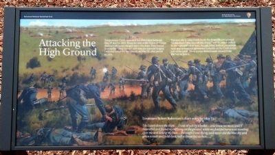
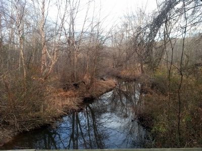
Totopotomy Creek separated the armies here between May 29 and 31, 1864. Twice the men of the Union 2nd Corps (Barlow's Division) charged down this slope. They hoped to cross the "deep morass" and seize the opposite heights. Darkness halted the first assault, on May 30, after partial success.
The next day heavier Confederate fire from rifle pits greeted the attackers. "The men fell like sheep," and the attack stalled. To the right and left of here, though, other Federal commands were able to establish permanent toeholds on the Confederate side of the creek. These troops shifted south toward Cold Harbor on June 1.
Lieutenant Robert Robertson's diary entry for May 31:
"As I went down the slope....I was struck by a bullet...and knew no more until I recovered and found myself lying on the ground, while my faithful horse was standing over me and licking my face....I thought I was dying, and never did the blue sky and green woods and field look half so beautiful as then...."
Erected 2014 by National Park Service, U.S. Department of the Interior.
Topics. This historical marker is listed in this topic list:
this page online
Location. 37° 39.165′ N, 77° 20.742′ W. Marker is in Mechanicsville, Virginia, in Hanover County. It can be reached from Studley Road (Virginia Route 606) 0.1 miles west of Shelton Pointe Drive, on the left when traveling west. The marker stands near the southern terminus of the NPS-owned walking trail within Totopotomoy Creek Battlefield Park, a unit of Richmond National Battlefield Park. Touch for map. Marker is at or near this postal address: 7273 Studley Road, Mechanicsville VA 23116, United States of America. Touch for directions.

Regionally, this marker is in the Piedmont, in Central Virginia, and in the Richmond Metropolitan Area. It is also in the American South, specifically in the Upper South, and on the Eastern Seaboard. Globally, it is in the North Atlantic Region, North America, the Western Hemisphere, the Western World, and the Anglosphere. Historically, it finds itself in what was once the territory of the Mississippian Culture, one of the original Thirteen Colonies, one of the Confederate States of America, and the Antebellum South.
Other nearby markers. At
Photographed by Evan Dwyer, December 27, 2025
2. Attacking the High Ground Marker
Another marker is no longer nearby. Shelton House Under Fire (was approx. 0.6 miles away but has been replaced with another marker now near it).
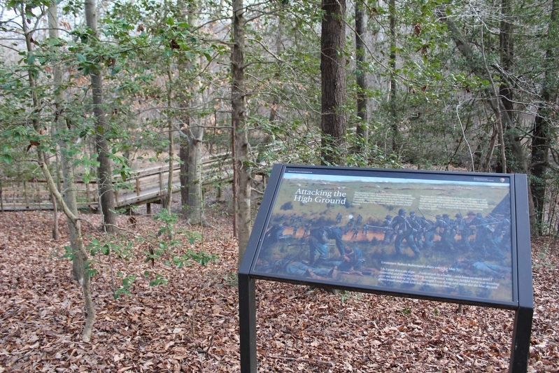
More about this marker. The marker was originally located just northeast, but that trail has been discontinued to fight erosion. The marker's new location is slightly southwest of its original location, along the new trail leading to the bridge over the swamp (and the non-NPS trail segment on the southern bank).
Also see . . .
1. The Battle of Totopotomoy Creek, May 29-31, 1864. Richmond National Battlefield Park (Submitted on November 29, 2014.)
2. Totopotomoy Creek Battlefield at Rural Plains.
Photographed by Bernard Fisher, November 28, 2014
3. Attacking the High Ground Marker
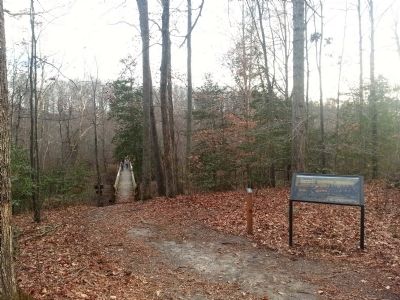
This is a photo of the marker in a prior context. The marker has since been moved to accommodate anti-erosion efforts on the original trail.
3. Totopotomoy Creek. CWSAC Battle Summary (Submitted on November 29, 2014.)
Photographed by Bernard Fisher, November 28, 2014
4. Totopotomoy Creek
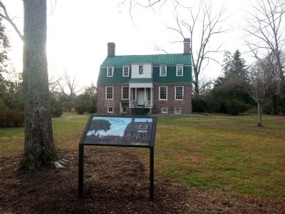
Photographed by Bernard Fisher, November 28, 2014
5. Rural Plains
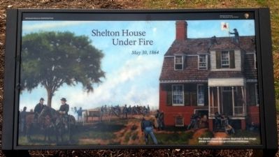
Photographed by Bernard Fisher, November 28, 2014
6. Rural Plains
Credits. This page was last revised on April 5, 2026. It was originally submitted on November 28, 2014, by Bernard Fisher of Richmond, Virginia. This page has been viewed 1,066 times since then and 48 times this year. Last updated on April 5, 2026, by Evan Dwyer of Richmond, Virginia. Photos: 1. submitted on November 28, 2014, by Bernard Fisher of Richmond, Virginia. 2. submitted on April 5, 2026, by Evan Dwyer of Richmond, Virginia. 3, 4, 5, 6. submitted on November 28, 2014, by Bernard Fisher of Richmond, Virginia. • Devry Becker Jones was the editor who published this page.
