Sautee Nacoochee in White County, Georgia — The American South (South Atlantic)
Unicoi Turnpike

Photographed by Darren Jefferson Clay, March 28, 2026
1. Unicoi Turnpike Marker
Long before people traveled the route, the trail was likely used by wildlife to migrate from teh southern Appalachians to the coastal plains of the Atlantic Ocean. Later, the Cherokee walked through this valley when travelling from their own town of Overhill, Tennessee to their steelements in the Carolinas and North Georgia.
By the mid-1700s, the trail was used by Indigenous groups and settlers to transport trade goods like deerskins and furs to Charleston and Savannah for shipment to Europe. During the American Revolution, the trail was used for raids between white settlers and the Cherokee Nation.
To Toll Road
In the early 1800s, a charter was granted to James R. Wyly and a group consisting of Cherokee and white settlers to develop a toll road along the Unicoi Trail. The charter agreed to pay the Native Americans $160 per year for 20 years so they could collect tolls. However, the Cherokee never received the promised funds. The path transitioned from foot/horsepath to a wider path that was the first vehicle/wagon road in the area.
Along the route, inns, taverns, and trading posts sprang up.
this page online
Captions:
Early toll roads got their name from the long pole or "pike" which could be turned aside after the poll was paid. The road was cleared using only hand tools and animal power. The location of the stumps and rocks ofter determined the routing of the road.
A similar toll road shows the pike system in use.
Topics. This historical marker is listed in this topic list: Roads & Vehicles.
Location. 34° 41.161′ N, 83° 42.559′ W. Marker is in Sautee Nacoochee, Georgia, in White County. It can be reached from Georgia Route 17 north of Unicoi Turnpike, on the right when traveling west. Touch for map. Marker is at or near this postal address: 143 GA-17, Sautee Nacoochee GA 30571, United States of America. Touch for directions.

Regionally, this marker is in Georgia’s Mountains. It is also in the American South, specifically in the Deep South, in
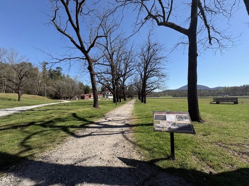
Photographed by Darren Jefferson Clay, March 28, 2026
2. Unicoi Turnpike Marker
Other nearby markers. At least 8 other markers are within walking distance of this marker: Caretaker's House (here, next to this marker); The Unicoi Road (a few steps from this marker); Welcome to Hardman Farm (within shouting distance of this marker); Three Families at the Farm (within shouting distance of this marker); a different marker also named Three Families at the Farm (within shouting distance of this marker); Welcome to Hardman Farm State Historic Site (about 300 feet away, measured in a direct line); Corncribs & Gear House (about 300 feet away); Breezeway,Smokehouse/Servant's Quarters & Kitchen (about 400 feet away). Touch for a list and map of all markers in Sautee Nacoochee.
Credits. This page was last revised on April 9, 2026. It was originally submitted on April 6, 2026, by Darren Jefferson Clay of Duluth, Georgia. This page has been viewed 22 times since then. Photos: 1, 2. submitted on April 6, 2026, by Darren Jefferson Clay of Duluth, Georgia. • Bernard Fisher was the editor who published this page.
