Golden Rectangle in Carmel-by-the-Sea in Monterey County, California — The American West (Pacific Coastal)
Carmel North Dunes Habitat Restoration
Photographed by Jason Voigt, March 27, 2026
1. Carmel North Dunes Habitat Restoration Marker
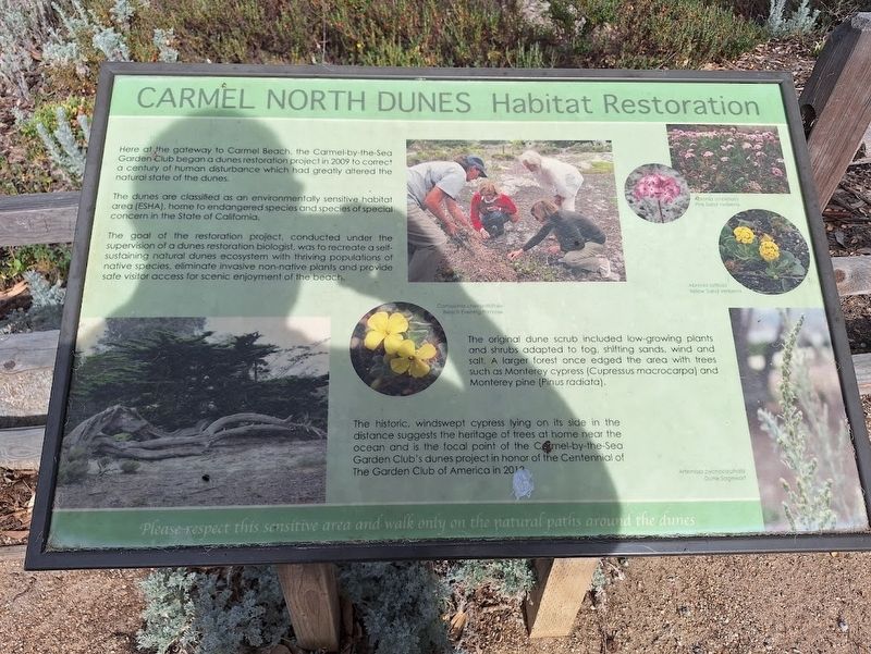
Here at the gateway to Carmel Beach, the Carmel-by-the-Sea Garden Club began a dunes restoration project in 2009 to correct a century of human disturbance which had greatly altered the natural state of the dunes.
The dunes are classified as an environmentally sensitive habitat area (ESHA), home to endangered species and species of special concern in the State of California.
The goal of the restoration project, conducted under the supervision of a dunes restoration biologist, was to recreate a self-sustaining natural dunes ecosystem with thriving populations of native species, eliminate invasive non-native plants and provide safe visitor access for scenic enjoyment of the beach.
(photo captions:)
·The original dune scrub included low-growing plants and shrubs adapted to fog, shifting sands, wind and salt. A larger forest once edged the area with trees such as Monterey cypress [Cupressus macrocarpa] and Monterey pine [Pinus radiata].
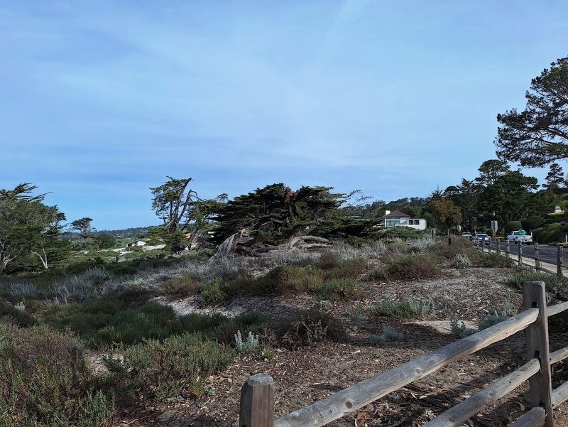
·The historic, windswept cypress lying on its side in the distance suggests the heritage of trees at home near the ocean and is the focal point of the Carmel-by-the-Sea Garden
this page online
Topics. This historical marker is listed in this topic list: Environment. A significant historical year for this entry is 2009.
Location. 36° 33.314′ N, 121° 55.681′ W. Marker is in Carmel-by-the-Sea, California, in Monterey County. It is in Golden Rectangle. It is at the intersection of Ocean Avenue and San Antonio Avenue, on the right when traveling west on Ocean Avenue. Touch for map. Marker is at or near this postal address: 458 Ocean Ave, Carmel by the Sea CA 93921, United States of America. Touch for directions.

Regionally, this marker is on the Central Coast and specifically on the Coast Ranges. It is also on the American Pacific Coast. Globally, it is in North America, on the Ring of Fire, on the Pacific Rim, in the Western Hemisphere, in the Western World, and in the Anglosphere. Historically, it finds itself in what was once New Spain and also Mexico’s Alta California.
Other nearby markers. At least 8 other markers are within walking distance of this marker: World War I Memorial (approx. 0.4 miles away); Korean War Memorial
Photographed by Jason Voigt, March 27, 2026
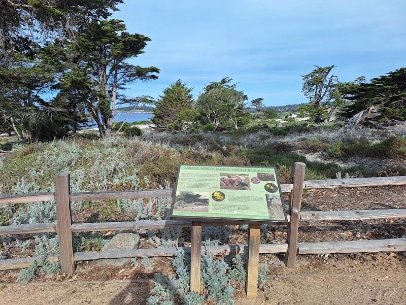
2. Carmel North Dunes Habitat Restoration Marker
Photographed by Jason Voigt, March 27, 2026
3. Carmel North Dunes Habitat Restoration Marker
This is the cypress tree mentioned on the marker
Credits. This page was last revised on April 6, 2026. It was originally submitted on April 6, 2026, by Jason Voigt of Glen Carbon, Illinois. This page has been viewed 18 times since then. Photos: 1, 2, 3. submitted on April 6, 2026, by Jason Voigt of Glen Carbon, Illinois.
