
Mound Township near Hardwick in Rock County, Minnesota — The American Midwest (Upper Plains)
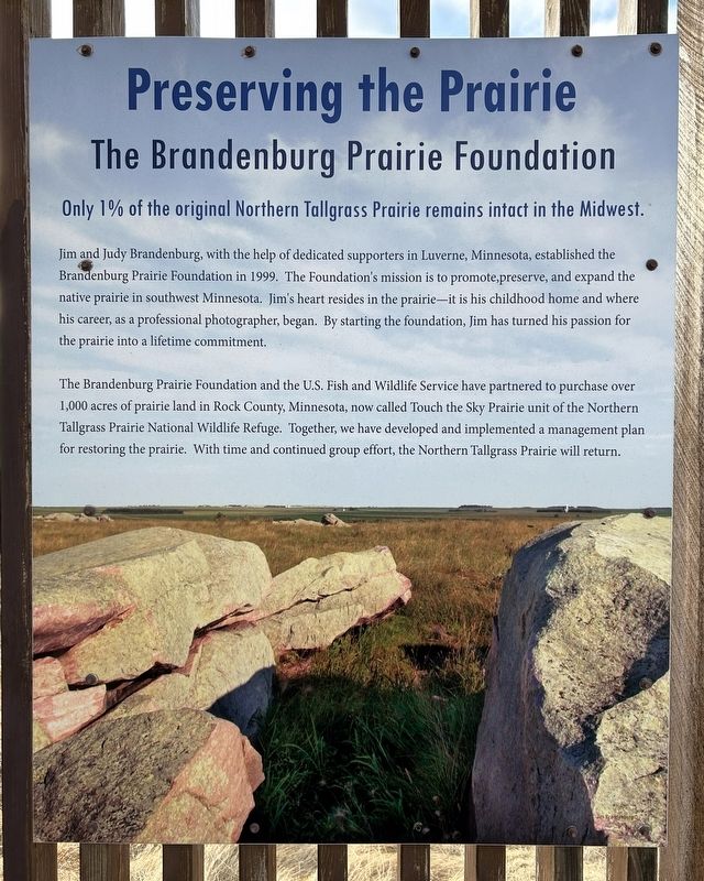
Preserving the Prairie
The Brandenburg Prairie Foundation
March 4, 2026
1. Preserving the Prairie Marker
Only 1% of the original Northern Tallgrass Prairie remains intact in the Midwest.
Jim and Judy Brandenburg, with the help of dedicated supporters in Luverne, Minnesota, established the Brandenburg Prairie Foundation in 1999. The Foundation's mission is to promote,preserve, and expand the native prairie in southwest Minnesota. Jim's heart resides in the prairie—it is his childhood home and where his career, as a professional photographer, began. By starting the foundation, Jim has turned his passion for the prairie into a lifetime commitment.
The Brandenburg Prairie Foundation and the U.S. Fish and Wildlife Service have partnered to purchase over 1,000 acres of prairie land in Rock County, Minnesota, now called Touch the Sky Prairie unit of the Northern Tallgrass Prairie National Wildlife Refuge. Together, we have developed and implemented a management plan for restoring the prairie. With time and continued group effort, the Northern Tallgrass Prairie will return.
Jim Brandenburg©
Topics. This historical marker is listed in these topic lists: Animals • Charity & Public Work • Environment. A significant historical year for this entry is 1999.
Location. 43° 44.829′ N,
this page online

Regionally, this marker is in Southwest Minnesota. It is also in the American Midwest, in the Corn Belt, and on the Great Plains. Globally, it is in North America, the Western Hemisphere, the Western World, and the Anglosphere. Historically, it finds itself in what was once Rupert’s Land, the territory of the Mississippian Culture, and the Louisiana Purchase.
Other nearby markers. At least 8 other markers are within 11 miles of this marker, measured as the crow flies: Home of the Blue Goose (here, next to this marker); Restoring the Prairie (approx. 1.4 miles away); Prairie Passage / Tallgrass Prairie / Prairie Passage Route (approx. 4.6 miles away);
March 4, 2026
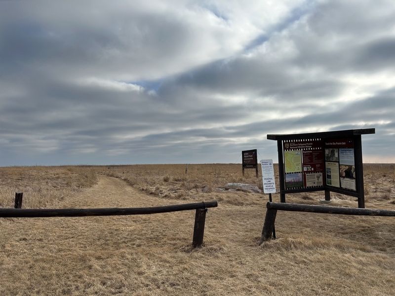
2. Preserving the Prairie and other Markers
Also see . . . Brandenburg Prairie Foundation. BPF Website. (Submitted on April 7, 2026.)
March 4, 2026
3. Touch the Sky Prairie Stone Marker
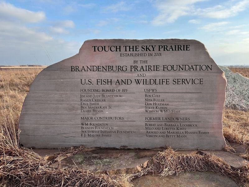
Established in 2001 by the Brandenburg Prairie Foundation and U.S. Fish and Wildlife Service
Founding Board of BPF
Jim and Judy Brandenburg · Randy Creeger · Dave Smith · Ben VanderKooi, Jr. · Daniel Biever
USFWS
Ron Cole · Nita Fuller · Don Hultman · Steve Kufrin · Windom WMD Staff
Major Contributors
WM Foundation · Blandin Foundation · Southwest Initiative Foundation · E.J. Malone Family
Former Landowners
Robert and Barbara Loosbrock · Milo and Loretta Kontz · Arnold and Mardella Hansen Family · Verlyn and Betty Mann
Founding Board of BPF
Jim and Judy Brandenburg · Randy Creeger · Dave Smith · Ben VanderKooi, Jr. · Daniel Biever
USFWS
Ron Cole · Nita Fuller · Don Hultman · Steve Kufrin · Windom WMD Staff
Major Contributors
WM Foundation · Blandin Foundation · Southwest Initiative Foundation · E.J. Malone Family
Former Landowners
Robert and Barbara Loosbrock · Milo and Loretta Kontz · Arnold and Mardella Hansen Family · Verlyn and Betty Mann
March 4, 2026
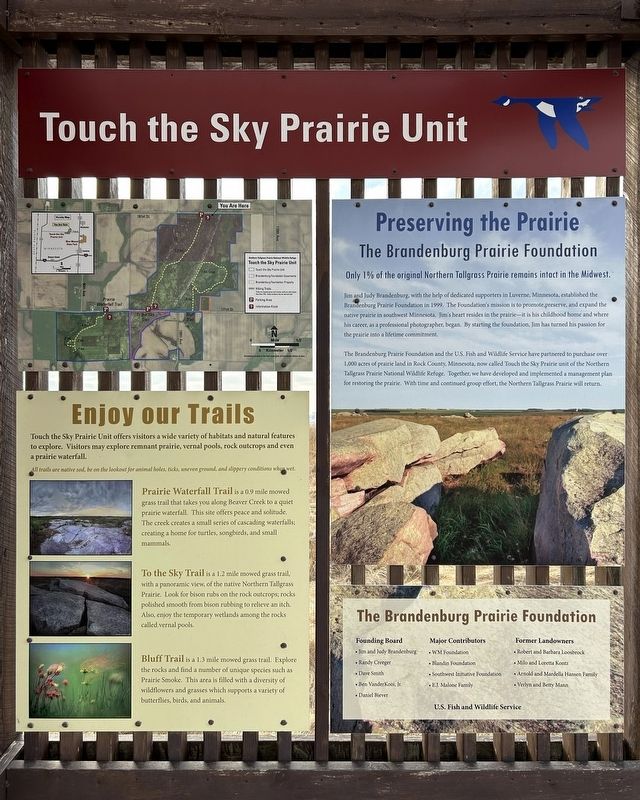
4. Preserving the Prairie and surrounding Markers
Credits. This page was last revised on April 7, 2026. It was originally submitted on April 7, 2026. This page has been viewed 21 times since then. Photos: 1, 2, 3, 4. submitted on April 7, 2026.
