Hamden in South Central Region, Connecticut — The American Northeast (New England)
Edgar Laing Heermance
1876 - 1953
Photographed by Conrad Ward, April 6, 2025
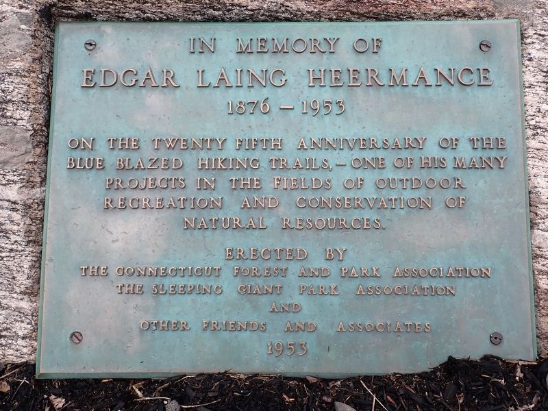
1. Edgar Laing Heermance Marker
Edgar Laing Heermance
1876 - 1953
On the twenty fifth anniversary of the blue blazed hiking trails, - one of his many projects in the fields of outdoor recreation and conservation of natural resources.
Erected 1953 by The Connecticut Forest and Park Association, The Sleeping Giant Park Association and other friends and associates.
Topics. This historical marker is listed in this topic list: Parks & Recreational Areas. A significant historical year for this entry is 1953.
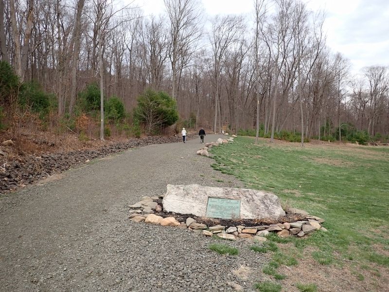
Location. 41° 25.316′ N, 72° 53.932′ W. Marker is in Hamden in South Central Region, Connecticut. It is on Mount Carmel Avenue 0.3 miles east of Whitney Avenue (Route 10), on the left when traveling east. Located along the start of the Tower Trail in Sleeping Giant State Park. Touch for map. Touch for directions.

Regionally, this marker is in the American Northeast and in New England. Globally, it is in North America, the Western Hemisphere, the Western World, and the Anglosphere. Historically, it finds itself in what was once one of the original Thirteen Colonies.
Other nearby markers. At least 8 other markers are within walking
this page online
Photographed by Conrad Ward, April 6, 2025
2. Edgar Laing Heermance Marker
Credits. This page was last revised on May 19, 2026. It was originally submitted on April 7, 2026, by Conrad Ward of Guilford, Connecticut. This page has been viewed 11 times since then. Photos: 1, 2. submitted on April 7, 2026, by Conrad Ward of Guilford, Connecticut. • Michael Herrick was the editor who published this page.
