Uniontown in Perry County, Alabama — The American South (East South Central)
New Hope Cemetery
Perry County

Photographed by Jimmy Emerson, April 8, 2026
1. New Hope Cemetery Marker
The Phillip Henry Pitts family established the New Hope/Pitts Cemetery at their Rurrill Hill Plantation, located southeast of Uniontown, as a burial ground for their slaves. The first graves were on Pitts property adjacent to the Pitts family burials. According to Pitts family papers, the cemetery has existed since before the Civil War. After Emancipation, the Pitts family donated a plot of land to the freedmen to establish the New Hope Church, with the New Hope Cemetery adjacent to the church. The church structure has since been demolished, but the cemetery continued to function as a burial ground for the community and members of New Hope Church. As with many African American cemeteries before and after the Civil War, the cemetery was not delineated by a deed. Instead, the owners designated a section of their land for African American burials. The oldest known African American burial is that of Emma Green, born c. 1860 and died June 13, 1915. The most recent and perhaps last African American burial is that of Flora Pitts, born July 3, 1920, and died February 1990. Graves number between 80 and 100. Some graves are marked
this page online
Erected 2021 by New Hope Cemetery Preservation Society.
Topics. This historical marker is listed in these topic lists: African Americans • Cemeteries & Burial Sites • Religion & Religious Structures. A significant historical date for this entry is July 3, 1920.
Location. 32° 24.828′ N, 87° 28.471′ W. Marker is in Uniontown, Alabama, in Perry County. It is on County Road 1 west of County Road 21, on the right when traveling west. Touch for map. Marker is at or near this postal address: 3044 Co Rd 1, Uniontown AL 36786, United States of America. Touch for directions.

Regionally, this marker is in the American South, specifically in the Deep South, and in the Black Belt. Globally, it is in North America, a Gulf of Mexico state, the Western Hemisphere, the Western World, and the Anglosphere. Historically, it finds itself in what was once New Spain, the territory of the Mississippian Culture, one of the Confederate States of America, and the Antebellum South.
Other nearby markers. At
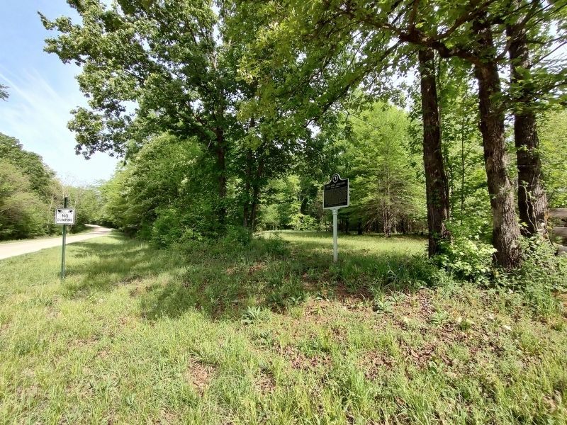
Photographed by Jimmy Emerson, April 8, 2026
2. New Hope Cemetery & Marker
More about this marker. The text says the marker was erected in 2021 but the dirt around the base of the post was still rather fresh.
Credits. This page was last revised on April 9, 2026. It was originally submitted on April 8, 2026, by Jimmy Emerson of Dalton, Georgia. This page has been viewed 26 times since then. Photos: 1, 2. submitted on April 8, 2026, by Jimmy Emerson of Dalton, Georgia. • Devry Becker Jones was the editor who published this page.
