
Chesapeake City in Cecil County, Maryland — The American Northeast (Mid-Atlantic)
St. Augustine Parish
Revolutionary Paths to Freedom
Photographed by Pete Skillman, April 9, 2026
1. St. Augustine Parish Marker
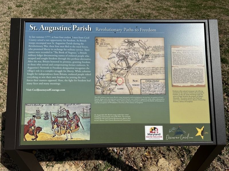
In late summer 1777, at least four enslaved men from Cecil County seized a rare opportunity for freedom. As British troops encamped near St. Augustine Parish during the Revolutionary War, these four men fled to the royal forces, who promised liberty in exchange for military service. Their names were recorded in "The Book of Negroes," a British military ledger documenting names of enslaved people who escaped and sought freedom through this perilous alternative. After the war, Britain honored its promise granting freedom to those who served and compensating former enslavers. St. Augustine's Network to Freedom designation recognizes the village's role in a complex struggle for liberty. While colonists fought for independence from Britain, enslaved people risked everything to win their own freedom by joining the very forces their masters opposed. Here, the fight for freedom had many faces and many meanings.
Visit CecilJourneysofCourage.com
(Captions):
This 1777 military map traces British troop movements and encampments during their occupation of Cecil County. Some units marched east toward Cecil Church - now called St. Augustine - while other advanced to Head of Elk, present-day Elkton. These advancing forces continued north toward the Battle of Brandywine and the occupation of Philadelphia. (Courtesy of the Library of Congress)
On August 22, 1777, British troops made their initial landing on Cecil County soil at Elk Neck. This artwork, created for the Cecil County Bicentennial, depicts their arrival. (Source: Cecil County Bicentennial Committee)
Enslavers often placed newspaper ads offering rewards for the capture of those who escaped to freedom. In this ad, James Hutchings seeks the return of Ned, formerly the property of Robert Alexander. The notice remarks that Ned had spent time with British forces. (Source: Chronicling America, Library of Congress)
Erected by Cecil
this page online
Topics and series. This historical marker is listed in these topic lists: Abolition & Underground RR • African Americans • Religion & Religious Structures • War, US Revolutionary. In addition, it is included in the Network to Freedom series list. A significant historical year for this entry is 1777.
Location. 39° 29.635′ N, 75° 48.537′ W. Marker is in Chesapeake City, Maryland, in Cecil County. It is on Cayots Corner Road, on the right when traveling east. Touch for map. Marker is at or near this postal address: 920 Cayots Corner Rd, Chesapeake City MD 21915, United States of America. Touch for directions.

Regionally, this marker is in Greater Wilmington, on the Eastern Shore, and in Greater Philadelphia. It is also in the American Mid-Atlantic, on the Delmarva Peninsula, in the Tidewater, and in the Chesapeake Bay Region. Globally, it is in the North Atlantic Region, North America, the Western Hemisphere, the Western World, and the Anglosphere. Historically, it finds itself in what was once one of the original Thirteen Colonies and also the Antebellum South.
Other nearby markers. At least 8 other
Photographed by Pete Skillman, April 9, 2026
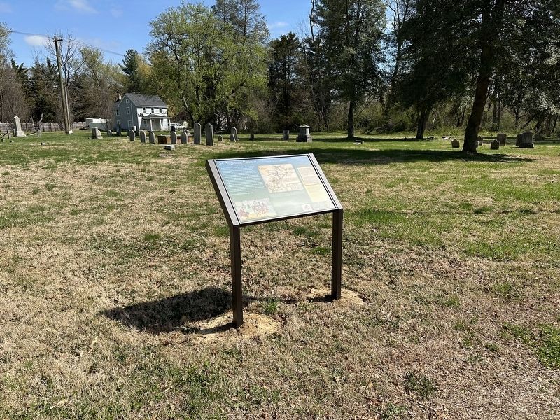
2. St. Augustine Parish Marker - wide view
Also see . . . CecilJourneysofCourage.com. This link was referenced on the marker.
Inequality was painfully evident for those who endured a life of slavery. Escapes were often attempted over and over again in a quest for freedom along the Underground Railroad. Cecil County’s Network to Freedom sites represent stories of those traveling through with passion in their hearts and courage in their souls, to live free and control their own destiny.(Submitted on April 9, 2026, by Pete Skillman of Townsend, Delaware.)
Photographed by Pete Skillman, April 9, 2026
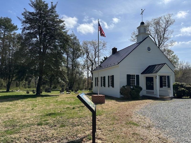
3. St. Augustine Parish Marker - with church in background
Credits. This page was last revised on April 20, 2026. It was originally submitted on April 9, 2026, by Pete Skillman of Townsend, Delaware. This page has been viewed 23 times since then. Photos: 1, 2, 3. submitted on April 9, 2026, by Pete Skillman of Townsend, Delaware.
