Near Mechanicsville in Hanover County, Virginia — The American South (Mid-Atlantic)
Battle of Cold Harbor
Position of the Confederate Left Wing
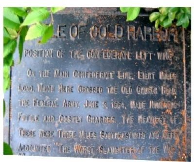
Photographed by Bernard Fisher, July 5, 2003
1. Battle of Cold Harbor Marker
Erected by Battlefield Markers Association. (Marker Number 29.)
Topics and series. This historical marker is listed in this topic list: War, US Civil. In addition, it is included in the Freeman Markers (Richmond Battlefields) series list. A significant historical month for this entry is June 1845.
Location. 37° 37.047′ N, 77° 19.091′ W. Marker is near Mechanicsville, Virginia, in Hanover County. It is on Mechanicsville Turnpike (U.S. 360) 0.2 miles east of Creighton Parkway, on the right when traveling east. Touch for map. Marker is in this post office area: Mechanicsville VA 23111, United States of America. Touch for directions.

Regionally, this marker is in the Piedmont, in Central Virginia, and in the Richmond Metropolitan Area. It is also in the American South, specifically in the Upper South, and on the Eastern Seaboard. Globally, it is in the North
this page online
Other nearby markers. At least 8 other markers are within 2 miles of this marker, measured as the crow flies: "Liberty Hall" (approx. 0.4 miles away); a different marker also named Battle of Cold Harbor (approx. half a mile away); Cold Harbor Campaign (approx. half a mile away); a different marker also named Cold Harbor Campaign (approx. 0.9 miles away); a different marker also named Battle of Cold Harbor (approx. 1.1 miles away); Walnut Grove Church (approx. 1.4 miles away); a different marker also named Seven Days Battles (approx. 1½ miles away); 36th Wisconsin (approx. 1½ miles away). Touch for a list and map of all markers in Mechanicsville.
Another marker is no longer nearby. Seven Days' Battles (was approx. 1.2 miles away but has been confirmed missing).
More about this marker. Marker 29 was relocated @ 25' southeast
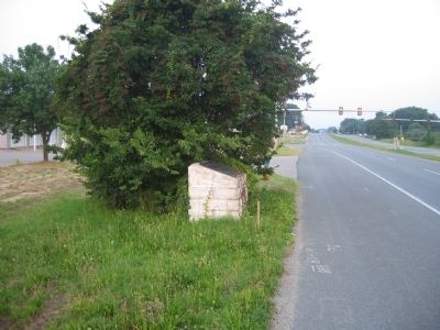
Photographed by Bernard Fisher, July 5, 2003
2. Battle of Cold Harbor Marker
Also see . . .
1. Cold Harbor Battlefield. Civil War Preservation Trust listed the battlefield as on of the most endangered sites in 2008. (Submitted on December 8, 2008, by Craig Swain of Leesburg, Virginia.)
2. Battle of Cold Harbor. (Submitted on December 8, 2008, by Craig Swain of Leesburg, Virginia.)
Additional keywords. Freeman Markers, Richmond Battlefield Parks Corporation, Douglas Southall Freeman
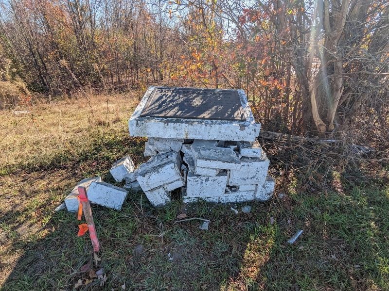
Photographed by Bernard Fisher, November 19, 2023
3. Battle of Cold Harbor Marker (damaged)
Jenga-like aftermath of an auto accident.
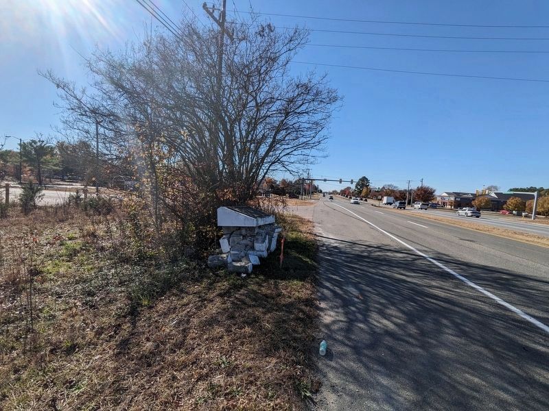
Photographed by Bernard Fisher, November 19, 2023
4. Battle of Cold Harbor Marker (damaged)
Modern highway claims another Freeman Marker.
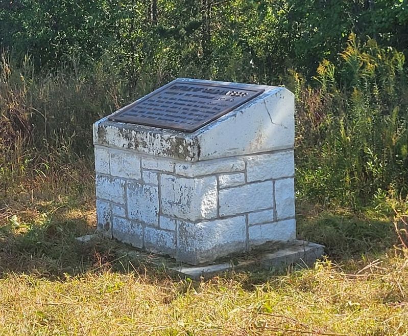
Photographed by Michael W. Tyler, October 15, 2025
5. Marker 29 after repair/relocation
Current location is @ 30' east of original location and farther off highway ROW to allow for planned highway widening.
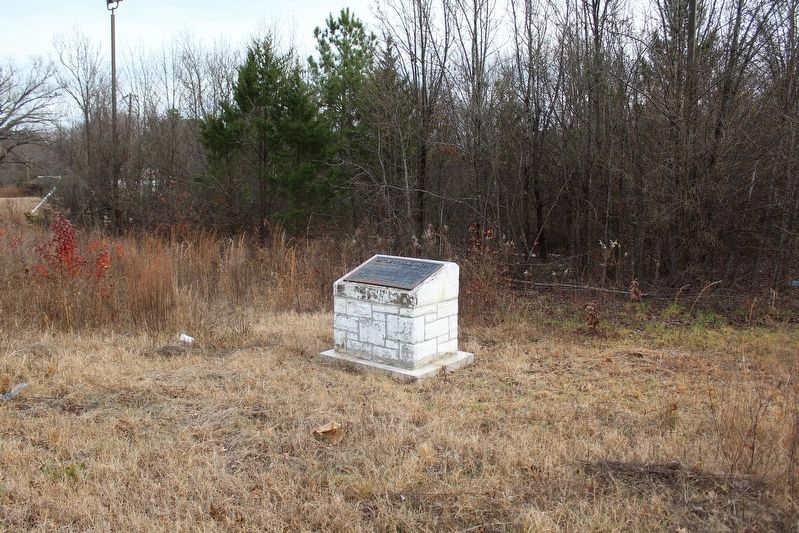
Photographed by Evan Dwyer, December 27, 2025
6. Battle of Cold Harbor Marker
Revised location context view.
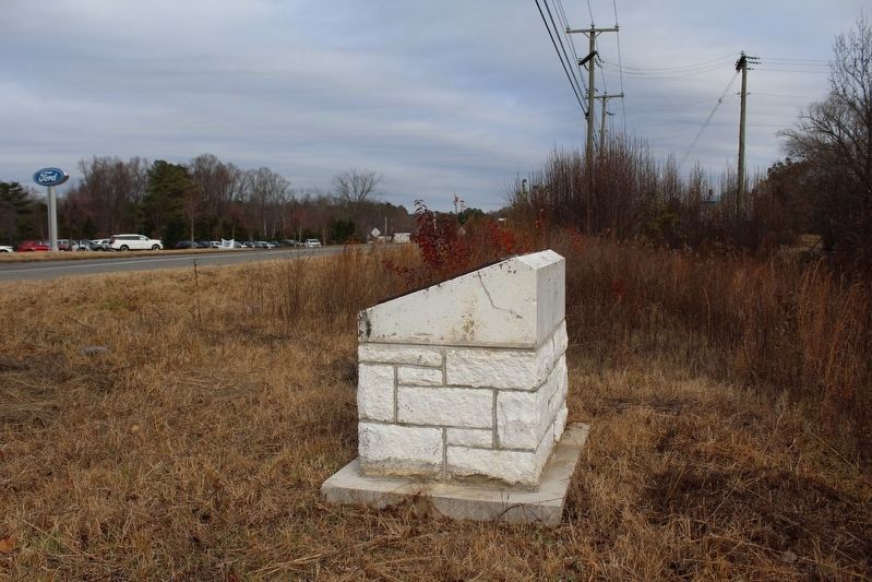
Photographed by Evan Dwyer, December 27, 2025
7. Battle of Cold Harbor Marker
Looking northeast up Mechanicsville Turnpike. Confederates had ceded this ground on the two final days of May 1864. Other markers indicate the previous two positions held by the Confederate left further up the road.
Credits. This page was last revised on April 13, 2026. It was originally submitted on December 8, 2008, by Bernard Fisher of Richmond, Virginia. This page has been viewed 1,813 times since then and 66 times this year. Last updated on April 9, 2026, by Michael W. Tyler of Mechanicsville, Virginia. Photos: 1, 2. submitted on December 8, 2008, by Bernard Fisher of Richmond, Virginia. 3, 4. submitted on November 19, 2023, by Bernard Fisher of Richmond, Virginia. 5. submitted on April 9, 2026, by Michael W. Tyler of Mechanicsville, Virginia. 6, 7. submitted on April 12, 2026, by Evan Dwyer of Richmond, Virginia.
