
Hot Springs National Park in Garland County, Arkansas — The American South (West South Central)
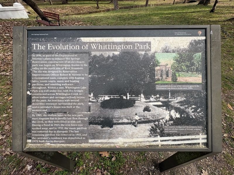
The Evolution of Whittington Park
Photographed by Darren Jefferson Clay, March 22, 2026
1. The Evolution of Whittington Park Marker
By 1905, the shallow lakes in the new park were stagnant due to insufficient flow through the creek, so they were filled in with soil. During a flood in 1923, the iron fence was washed away, and in 1932, the music pavilion was removed due to disrepair. The last remaining pavilion was removed in 1945, and the caretaker's residence was demolished in 1975, both due to disrepair.
Captions:
This
this page online
The concrete bridges and the perimeter foot path are all that remain of Stevens original park amenities
Erected by National Park Service.
Topics. This historical marker is listed in this topic list: Parks & Recreational Areas.
Location. 34° 30.95′ N, 93° 4.014′ W. Marker is in Hot Springs, Arkansas, in Garland County. It is in Hot Springs National Park. It is on Whittington Avenue, on the left when traveling east. Touch for map. Marker is at or near this postal address: 512 Whittington Avenue, Hot Springs National Park AR 71901, United States of America. Touch for directions.

Regionally, this marker is in Arkansas’ Ouachita Mountains. It is also in the American South and specifically in the Upper South. Globally, it is in North America, the Western Hemisphere, the Western World, and the Anglosphere. Historically, it finds itself in what was once the territory of the Mississippian Culture, the Louisiana Purchase, one of the Confederate States of America, and the
Photographed by Darren Jefferson Clay, March 22, 2026
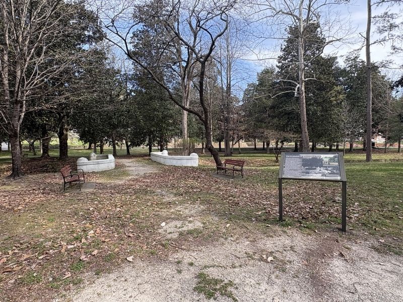
2. The Evolution of Whittington Park Marker
Other nearby markers. At least 8 other markers are within walking distance of this marker: Sam "Wahoo" Crawford (approx. 0.2 miles away); Lefty Grove (approx. ¼ mile away); Bill Dickey (approx. 0.3 miles away); Babe Ruth (approx. 0.3 miles away); Babe Ruth Changed Baseball Forever (approx. 0.3 miles away); Hot Springs: The Birthplace of Spring Baseball (approx. 0.3 miles away); Fogel Field (approx. 0.4 miles away); Smoky Joe Wood (approx. 0.4 miles away). Touch for a list and map of all markers in Hot Springs.
Credits. This page was last revised on April 11, 2026. It was originally submitted on April 9, 2026, by Darren Jefferson Clay of Duluth, Georgia. This page has been viewed 20 times since then. Photos: 1, 2. submitted on April 10, 2026, by Darren Jefferson Clay of Duluth, Georgia. • Andrew Ruppenstein was the editor who published this page.
