Hot Springs National Park in Garland County, Arkansas — The American South (West South Central)
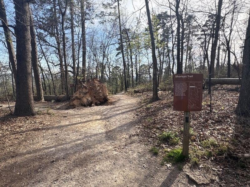
Shortcut Trail

Photographed by Darren Jefferson Clay, March 22, 2026
1. Shortcut Trail Marker
Topics. This historical marker is listed in this topic list: Roads & Vehicles.
Location. 34° 30.939′ N, 93° 2.872′ W. Marker is in Hot Springs, Arkansas, in Garland County. It is in Hot Springs National Park. It can be reached from N Mountain Drive, on the right when traveling north. Touch for map. Marker is in this post office area: Hot Springs National Park AR 71901, United States of America. Touch for directions.

Regionally, this marker is in the Ouachita Mountains. It is also in the American South and specifically in the Upper South. Globally, it is in North America, the Western Hemisphere, the Western World, and the Anglosphere. Historically, it finds itself in what was once the territory of the Mississippian Culture, the Louisiana Purchase, one of the Confederate States of America, and the Antebellum South.
Other nearby markers. At
this page online
Photographed by Darren Jefferson Clay, March 22, 2026
2. Shortcut Trail Marker
Credits. This page was last revised on April 11, 2026. It was originally submitted on April 9, 2026, by Darren Jefferson Clay of Duluth, Georgia. This page has been viewed 18 times since then. Photos: 1, 2. submitted on April 10, 2026, by Darren Jefferson Clay of Duluth, Georgia. • Andrew Ruppenstein was the editor who published this page.
