Fredericksburg, Virginia — The American South (Mid-Atlantic)
Fredericksburg City Dock
Bridges and Biscuits
Photographed by Dawn Bowen, June 5, 2007
1. Fredericksburg City Dock: Bridges and Biscuits Marker
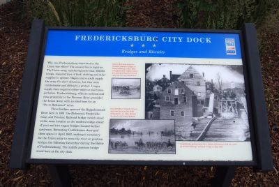
Why was Fredericksburg important to the Union war effort? The answer lies in logistics. The Union army, numbering more than 100,000 troops, required tons of food, clothing and other supplies to operate. Wagon trains could supply the army for short distances, but they were cumbersome and difficult to protect. Longer supply lines required either water or rail transportation. Fredericksburg, with its railroad and close proximity to the Potomac River, provided the Union Army with an ideal base for an “On to Richmond” drive.
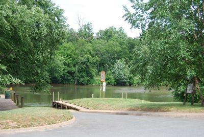
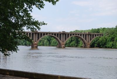
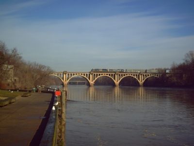
Three bridges spanned the Rappahannock River here in 1861: the Richmond, Fredericksburg, and Potomac Railroad bridge (which stood at the same location as the modern bridge ahead of you) and two wagon bridges located farther upstream. Retreating Confederates destroyed these spans in April 1862, making it necessary for the Union army to cross the river on pontoon bridges the following December during the Battle of Fredericksburg. The middle pontoon bridge stood here at the city dock.
Erected by Virginia Civil War Trails.
Topics and series. This historical marker is listed in these topic lists:
this page online
Location. Marker has been permanently removed. It was located near 38° 17.792′ N, 77° 27.22′ W. Marker was in Fredericksburg, Virginia. It was on Sophia Street south of Frederick Street. Touch for map. Marker was at or near this postal address: 101 Sophia Street, Fredericksburg VA 22401, United States of America.
We have been informed that this marker is no longer there and will not be replaced. This page is an archival view of what was.
Regionally, this marker was in the Washington Metropolitan Area and in Northern Virginia. It was also in the American South and specifically in the Upper South. Globally, it was in North America, the Western Hemisphere, the Western World, and the Anglosphere. Historically, it found itself in what was once the territory of the Mississippian Culture, one of the original Thirteen Colonies, one of the Confederate States of America, and the Antebellum South.

Other nearby markers. At least 8 other markers are within walking distance
Photographed by Dawn Bowen, June 5, 2007
2. Fredericksburg City Dock Markers
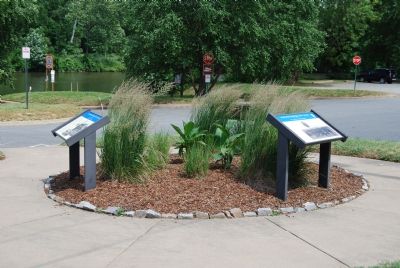
Other markers no longer nearby. Fredericksburg City Dock (was here, next to this marker but has been permanently removed); a different marker also named Fredericksburg City Dock (was here, next to this marker but has been permanently removed).
Photographed by Dawn Bowen, June 5, 2007
3. Dock on Rappahannock River
Photographed by Dawn Bowen, June 5, 2007
4. Fredericksburg Railroad Bridge
Photographed by Kevin W., February 2, 2008
5. Fredericksburg Railroad Bridge and modern freight train
Credits. This page was last revised on April 13, 2026. It was originally submitted on June 5, 2007, by Dawn Bowen of Fredericksburg, Virginia. This page has been viewed 4,015 times since then and 63 times this year. Last updated on April 12, 2026, by Mike McKeown of Baltimore, Maryland. Photos: 1, 2, 3, 4. submitted on June 5, 2007, by Dawn Bowen of Fredericksburg, Virginia. 5. submitted on February 2, 2008, by Kevin W. of Stafford, Virginia. • Devry Becker Jones was the editor who published this page.
