Mechanicsville in Hanover County, Virginia — The American South (Mid-Atlantic)
Historic Beulah Church
And Cemetery
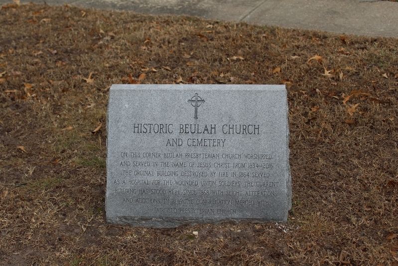
Photographed by Evan Dwyer, December 27, 2025
1. Historic Beulah Church Marker
Topics. This historical marker is listed in these topic lists: Religion & Religious Structures • War, US Civil. A significant historical year for this entry is 1834.
Location. 37° 35.966′ N, 77° 16.716′ W. Marker is in Mechanicsville, Virginia, in Hanover County. It is at the intersection of Beulah Church Road and Glenharbor Lane, on the right when traveling north on Beulah Church Road. Marker is in front of Beulah Church (now Grace United Family Church). Touch for map. Marker is at or near this postal address: 7252 Beulah Church Road, Mechanicsville VA 23111, United States of America. Touch for directions.

Regionally, this marker is in the Piedmont, in Central Virginia, and in the Richmond Metropolitan Area. It is also in the American South, specifically
this page online
Other nearby markers. At least 8 other markers are within walking distance of this marker: June 3, 1864 — 18th Corps: A Disastrous Attack (within shouting distance of this marker); Cold Harbor: The Early Actions (within shouting distance of this marker); The Armies Gather at Cold Harbor (within shouting distance of this marker); Keitt’s Attack — Morning, June 1, 1864 (approx. 0.2 miles away); In Reserve (approx. 0.6 miles away); Union Earthworks (approx. 0.6 miles away); The Cold Harbor Killing Fields (approx. 0.6 miles away); Grant's Grand Assault (approx. 0.7 miles away). Touch for a list and map of all markers in Mechanicsville.

Photographed by Evan Dwyer, December 27, 2025
2. Historic Beulah Church Marker
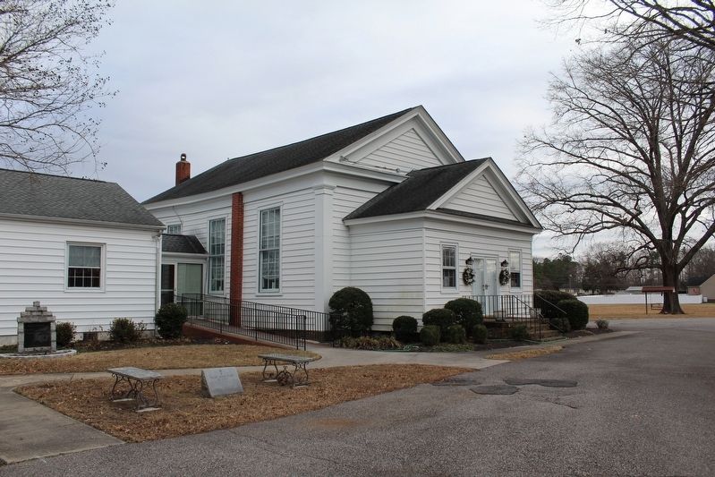
Photographed by Evan Dwyer, December 27, 2025
3. Historic Beulah Church Marker
The 1868 church is beyond.
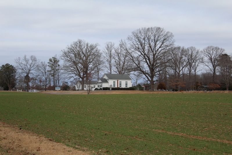
Photographed by Evan Dwyer, December 27, 2025
4. Historic Beulah Church
The 1868 church, built on the site of the church burned in 1864, seen from the short walking trail on the 1 June 1864 section of Richmond National Battlefield Park's Cold Harbor Unit.
Credits. This page was last revised on April 13, 2026. It was originally submitted on April 12, 2026, by Evan Dwyer of Richmond, Virginia. This page has been viewed 30 times since then. Photos: 1, 2, 3, 4. submitted on April 12, 2026, by Evan Dwyer of Richmond, Virginia. • Bernard Fisher was the editor who published this page.
