Centerton in Benton County, Arkansas — The American South (West South Central)
McKissick's Spring
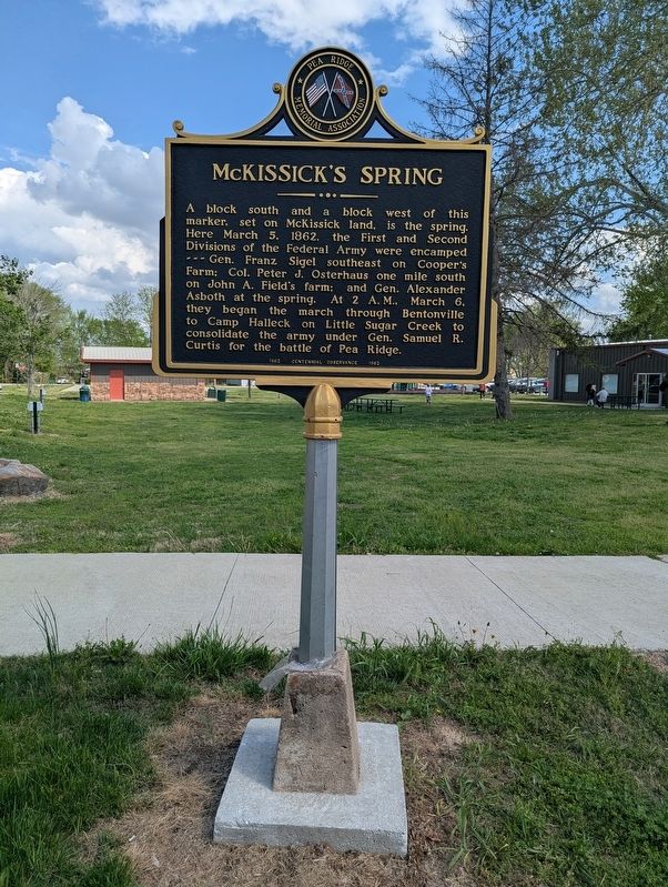
Photographed by Houston Hughes, April 11, 2026
1. McKissick's Spring Marker
Erected 1962 by Pea Ridge Memorial Association.
Topics. This historical marker is listed in this topic list: War, US Civil. A significant historical date for this entry is March 5, 1862.
Location. 36° 21.66′ N, 94° 17.083′ W. Marker is in Centerton, Arkansas, in Benton County. It is at the intersection of North Main Street and East 1st Street, on the right when traveling north on North Main Street. Northwest corner of Centerton Park. Touch for map. Marker is at or near this postal address: 362 N Main St, Centerton AR 72719, United States of America. Touch for directions.

Regionally,
this page online
Other nearby markers. At least 8 other markers are within 5 miles of this marker, measured as the crow flies: Vaughn Presbyterian Church (approx. 3.4 miles away); Col. Samuel W. Peel House (approx. 3½ miles away); The Oaks / Congressman Samuel West Peel (approx. 3½ miles away); Confederate Memorial (approx. 3.8 miles away); 1st/142nd Field Artillery Memorial (approx. 3.8 miles away); Craig-Bryan House (approx. 4.1 miles away); Eagle Hotel (approx. 4.2 miles away); Frisco Depot (approx. 4.2 miles away).
Another marker is no longer nearby. Big Tree (was approx. 3½ miles away but has been permanently removed).
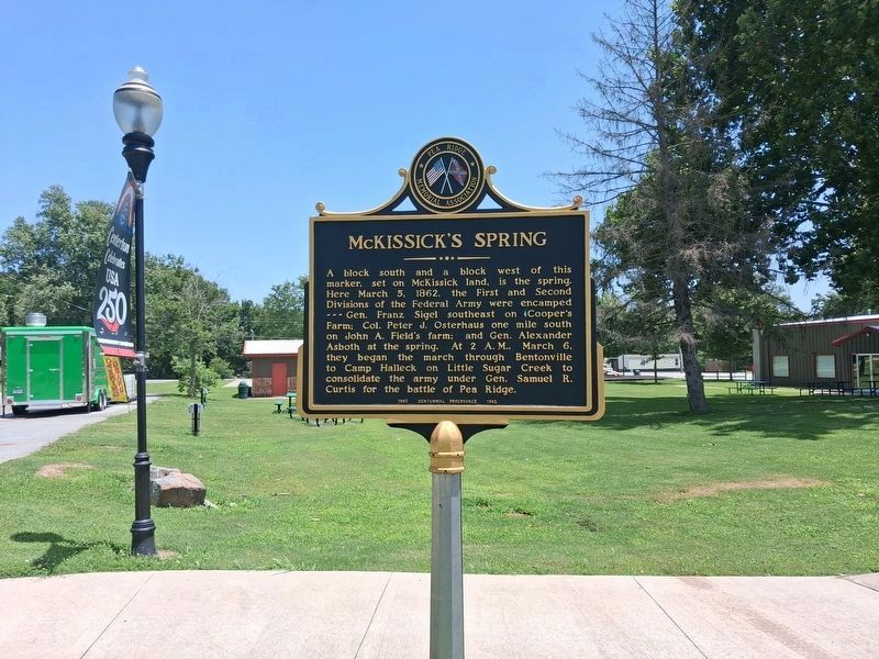
Photographed by Marc Hayot, June 30, 2026
2. McKissick's Spring Marker
Credits. This page was last revised on July 9, 2026. It was originally submitted on April 12, 2026, by Houston Hughes of Fayetteville, Arkansas. This page has been viewed 34 times since then. Photos: 1. submitted on April 12, 2026, by Houston Hughes of Fayetteville, Arkansas. 2. submitted on June 30, 2026, by Marc Hayot of Siloam Springs, Arkansas. • Bernard Fisher was the editor who published this page.
