Kennewick in Benton County, Washington — The American West (Northwest)
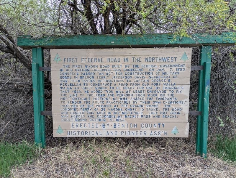
First Federal Road in the Northwest
Photographed by Clayton Pickett, April 12, 2026
1. First Federal Road in the Northwest Marker
Erected by Benton County Historical And Pioneer Association.
Topics. This historical marker is listed in these topic lists: Roads & Vehicles • Settlements & Settlers. A significant historical date for this entry is January 7, 1853.
Location. 46° 13.832′ N, 119° 11.473′ W. Marker is in Kennewick, Washington, in Benton County.
this page online

Regionally, this marker is in the Columbia Basin and in Yakima Valley. It is also in the American Mountain West and in the Lewis & Clark Corridor. Globally, it is in North America, on the Pacific Rim, in the Western Hemisphere, in the Western World, and in the Anglosphere.
Other nearby markers. At least 8 other markers are within 3 miles of this marker, measured as the crow flies: Hanford Irrigation Canal and Associated Laterals (approx. 1.3 miles away); Boomers On Wheels © (approx. 1.3 miles away); Regional Veterans Memorial (approx. 2 miles away); V.F.W. Veterans Memorial (approx. 2.2 miles away); American Legion Veterans Memorial (approx. 2.2 miles away); Mueller's Veterans Memorial (approx. 2.4 miles away); Revolutionary War Patriots (approx. 2.4 miles away); Nazarene Church Veterans Memorial (approx. 2.9 miles away). Touch for a list and map of
Photographed by Clayton Pickett, April 13, 2026
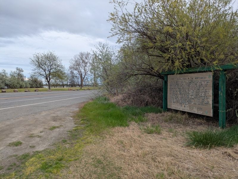
2. First Federal Road in the Northwest Marker
Credits. This page was last revised on April 18, 2026. It was originally submitted on April 12, 2026, by Clayton Pickett of Richland, Washington. This page has been viewed 27 times since then. Photos: 1, 2. submitted on April 12, 2026, by Clayton Pickett of Richland, Washington. • Andrew Ruppenstein was the editor who published this page.
