New Castle in Lawrence County, Pennsylvania — The American Northeast (Mid-Atlantic)
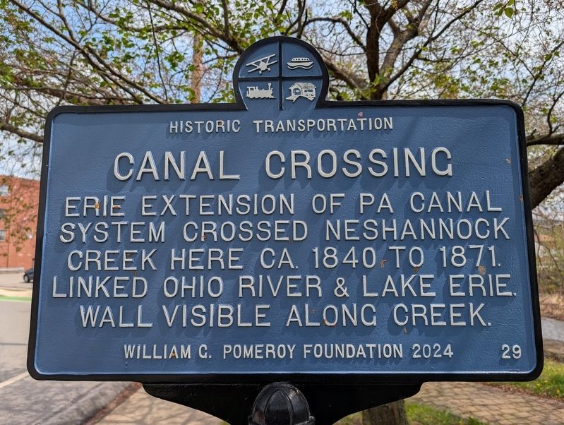
Canal Crossing
Historic Transportation
Photographed by Mike Wintermantel, April 15, 2026
1. Canal Crossing Marker
Erected 2024 by William G. Pomeroy Foundation. (Marker Number 29.)
Topics. This historical marker is listed in this topic list: Waterways & Vessels. A significant historical year for this entry is 1840.
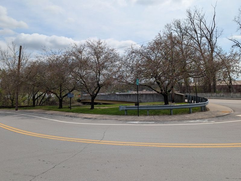
Location. 40° 59.847′ N, 80° 20.746′ W. Marker is in New Castle, Pennsylvania, in Lawrence County. It is at the intersection of South Mercer Street and Grove Avenue, on the right when traveling north on South Mercer Street. Touch for map. Marker is at or near this postal address: 20 Lawrence St, New Castle PA 16101, United States of America. Touch for directions.

Regionally, this marker is in Northwestern Pennsylvania and in Greater Pittsburgh. It is also in the American Northeast, in the Mid-Atlantic, in Appalachia, and specifically in Northern Appalachia. Globally, it is in North America, the Western Hemisphere, the Western World, and the Anglosphere. Historically, it finds itself in what was once the Haudenosaunee (Iroquois) Confederacy and also one of the original
this page online
Other nearby markers. At least 8 other markers are within 3 miles of this marker, measured as the crow flies: Warner Brothers' First Theater (approx. 0.2 miles away); Lawrence County Civil War Memorial (approx. 0.2 miles away); Lawrence County Spanish American War Memorial (approx. 0.2 miles away); Lawrence County World War I Memorial (approx. 0.2 miles away); "Squaw Campaign" (approx. 0.6 miles away); Lawrence County (approx. 0.6 miles away); Mahoningtown Veterans Memorial (approx. 2.4 miles away); Kuskuskies Towns (approx. 2.7 miles away). Touch for a list and map of all markers in New Castle.
Photographed by Mike Wintermantel, April 15, 2026
2. Canal Crossing Marker
Photographed by Mike Wintermantel, April 15, 2026
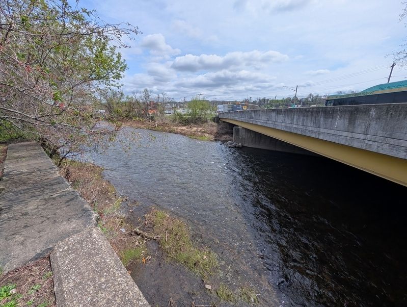
3. Canal Crossing Marker
Wall is on left side of photo.
Credits. This page was last revised on April 16, 2026. It was originally submitted on April 16, 2026, by Mike Wintermantel of Pittsburgh, Pennsylvania. This page has been viewed 18 times since then. Photos: 1, 2, 3. submitted on April 16, 2026, by Mike Wintermantel of Pittsburgh, Pennsylvania.
