Near Chapel Hill in Marshall County, Tennessee — The American South (East South Central)
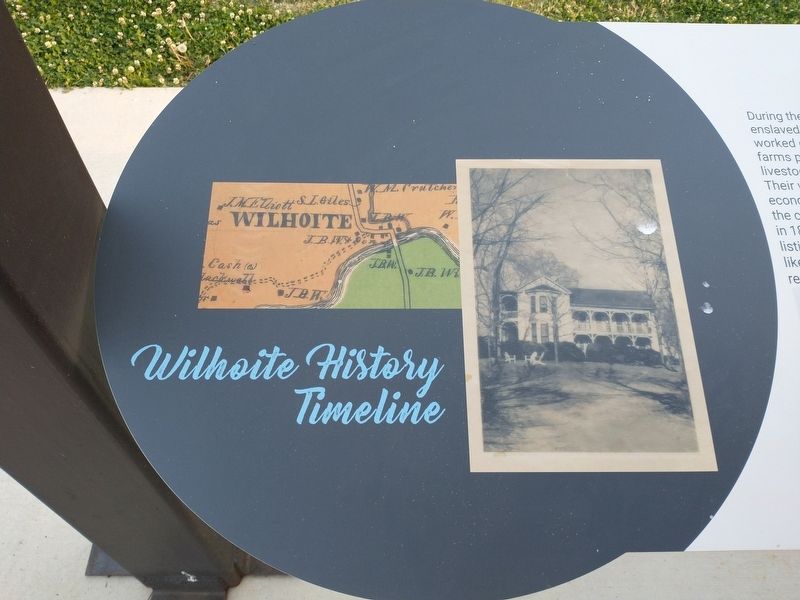
Wilhoite History Timeline
Photographed by Tom Bosse, April 11, 2026
1. Wilhoite History Timeline Marker
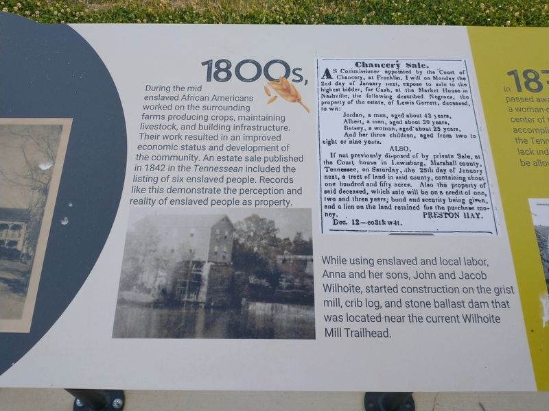
During the mid 1800s enslaved African Americans worked on the surrounding farms producing corps, maintaining livestock, and building infrastructure. Their work resulted in an improved economic status and development of the community. An estate sale published in 1842 in the Tennessean included the listing of six enslaved people. Records like this demonstrate the perception and reality of enslaved people as property.
While using enslaved and local labor, Anna and her sons, John and Jacob Wilhoite, started construction on the grist mill, crib log, and stone ballast dam that was located near the current Wilhoite Mill Trailhead.
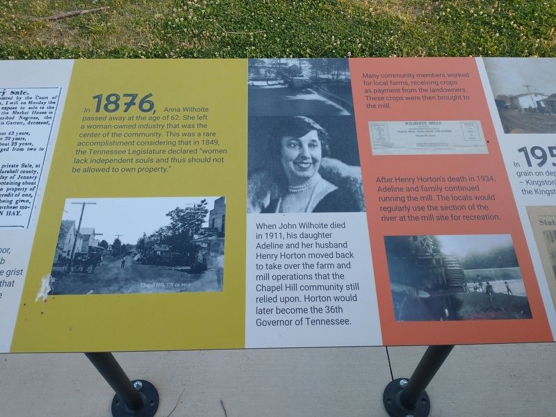
In 1876, Anna Wilhoite passed away at the age of 62. She left a woman-owned industry that was the center of the community. This was a rare accomplishment considering that in 1849, the Tennessee Legislature declared “women lack independent souls and thus should not be allowed to own property.”
When John Wilhoite died in 1911, his daughter Adeline and her husband Henry Horton moved back to take over the farm and mill operations that the Chapel Hill community still relied upon. Horton would
this page online
Many community members worked for local farms, receiving crops as payment from the landowners. These crops were then brought to the mill.
After Henry Horton’s death in 1934, Adeline and family continued running the mill. The locals would regularly use the section of the river at the mill site for recreation.
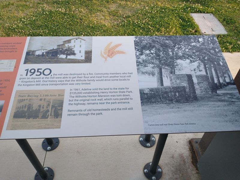
In 1950, the mill was destroyed by a fire. Community members who had grain on deposit at the mill were able to get their flour and meal from another local mill – Kingston’s Mill. Oral history says that the Wilhoite family would drive some locals to the Kingston Mill since transportation was very limited.
In 1961, Adeline sold the land to the state for $135,000 establishing the Henry Horton State Park. The Wilhoite / Horton Mansion was torn down, but the original rock wall, which runs parallel to the highway, remains near the part entrance.
Remnants of old homesteads and the mill still remain through the park.
[Captions:]
Current stone wall near Henry Horton State Park entrance.
Erected by Friends of Henry Horton State Park.
Topics. This historical marker
Photographed by Tom Bosse, April 11, 2026
2. Wilhoite History Timeline Marker
Location. 35° 35.387′ N, 86° 41.639′ W. Marker is near Chapel Hill, Tennessee, in Marshall County. It is at the intersection of Nashville Highway (U.S. 31A) and N Park Road, on the left when traveling south on Nashville Highway. Marker is located near the visitor's center at Henry Hill State Park. Touch for map. Marker is at or near this postal address: 4209 Nashville Hwy, Chapel Hill TN 37034, United States of America. Touch for directions.

Regionally, this marker is in Middle Tennessee and in the Highland Rim. It is also in the American South and specifically in the Upper South. Globally, it is in North America, the Western Hemisphere, the Western World, and the Anglosphere. Historically, it finds itself in what was once the territory of the Mississippian Culture, one of the Confederate States of America, and the Antebellum South.
Other nearby markers. At least 8 other markers are within 5 miles of this marker, measured as the crow flies: Mills on the Land
Photographed by Tom Bosse, April 11, 2026
3. Wilhoite History Timeline Marker
Related markers. Click here for a list of markers that are related to this marker.
Photographed by Tom Bosse, April 11, 2026
4. Wilhoite History Timeline Marker
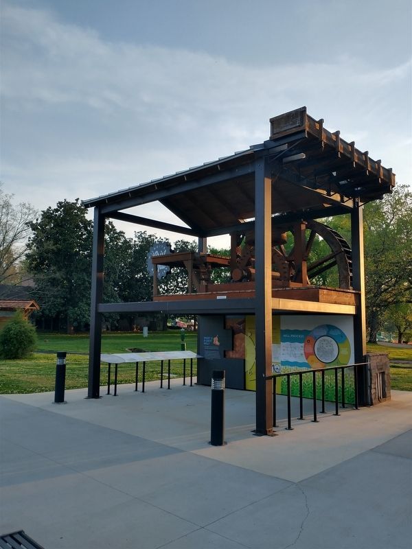
Photographed by Tom Bosse, April 11, 2026
5. Wilhoite History Timeline Marker
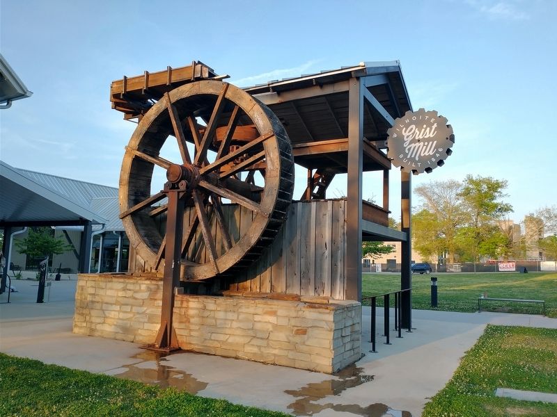
Photographed by Tom Bosse, April 11, 2026
6. Wilhoite Grist Mill
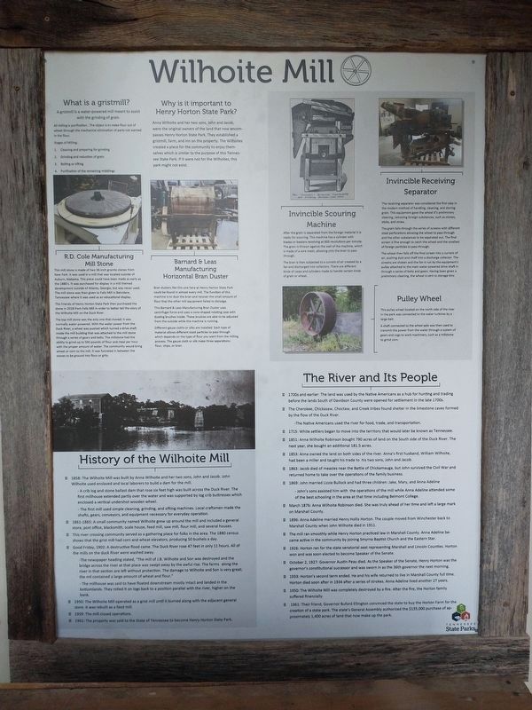
Photographed by Tom Bosse, April 11, 2026
7. Wilhoite Mill
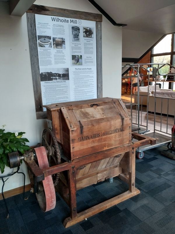
Photographed by Tom Bosse, April 11, 2026
8. Barnard and Leas Manufacturing Horizontal Bran Duster
Credits. This page was last revised on May 11, 2026. It was originally submitted on April 17, 2026, by Tom Bosse of Jefferson City, Tennessee. This page has been viewed 39 times since then. Photos: 1, 2, 3, 4, 5, 6. submitted on April 17, 2026, by Tom Bosse of Jefferson City, Tennessee. 7, 8. submitted on May 10, 2026, by Tom Bosse of Jefferson City, Tennessee. • James Hulse was the editor who published this page.
