
Cottage Grove in Lane County, Oregon — The American West (Northwest)
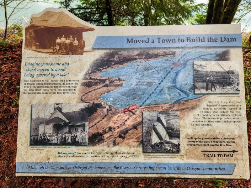
Moved a Town to Build the Dam
Photographed by Douglass Halvorsen, April 11, 2026
1. Moved a Town to Build the Dam Marker
Imagine your home and school moved to avoid being covered by a lake!
This happened to 450 people living in the town of Dorena during construction of the dam in the 1940’s. The railroad tracks that once cut through the Row River Valley were also relocated to the present day route of the Row River Trail.
The U.S. Army Corps of Engineers constructed Dorena Dam as part of the system of 13 dams that reduce the risk of flooding in the Willamette River basin. The reservoir provides outdoor recreation, drinking water and hydropower for local residents.
Did you know?
Pronounced like “cow”. . . the Row River was named after a quarrel between two men over grazing rights in the early 1850’s.
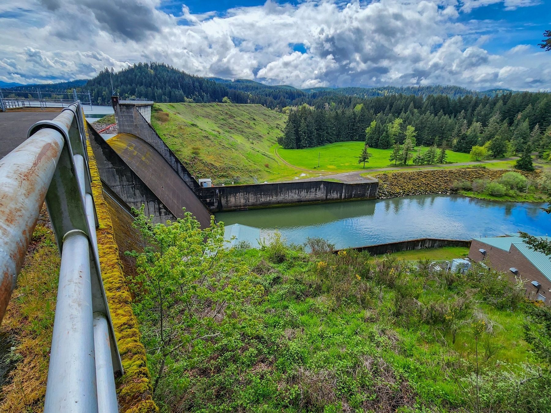
Walk up the gravel trail for a view form the top of the dam. From there, see the hydropower plant and the Row River.
Although the dam forever changed the landscape, the reservoir brings important benefits to Oregon communities.
Topics. This historical marker is listed in these topic lists: Charity & Public Work • Railroads & Streetcars • Settlements & Settlers • Waterways & Vessels. A significant historical year for this entry is 1941.
Location. 43° 47.308′ N,
this page online

Regionally, this marker is in Oregon’s Willamette Valley. It is also on the American Pacific Coast, in the Pacific Northwest, and in the Lewis & Clark Corridor. Globally, it is in North America, in the Cascade Range, on the Ring of Fire, in the Pacific Rim, in the Western Hemisphere, in the Western World, and in the Anglosphere.
Other nearby markers. At least 8 other markers are within 6 miles of this marker, measured as the crow flies: Stand By Me (within shouting distance of this marker); a different marker also named Stand By Me (approx. 2.1 miles away); Liberty Bell (approx. 5 miles away); The General (approx. 5 miles away); Hiroshima Peace Tree / Peace Pole Project (approx. 5 miles away); Bohemia Mining Museum / E Clampus Vitus (approx. 5.2 miles away); Billowing Steam to Bicycles (approx. 5.2 miles away); Stewart and Hinds Building
Photographed by Douglass Halvorsen, April 11, 2026
2. Moved a Town to Build the Dam Marker
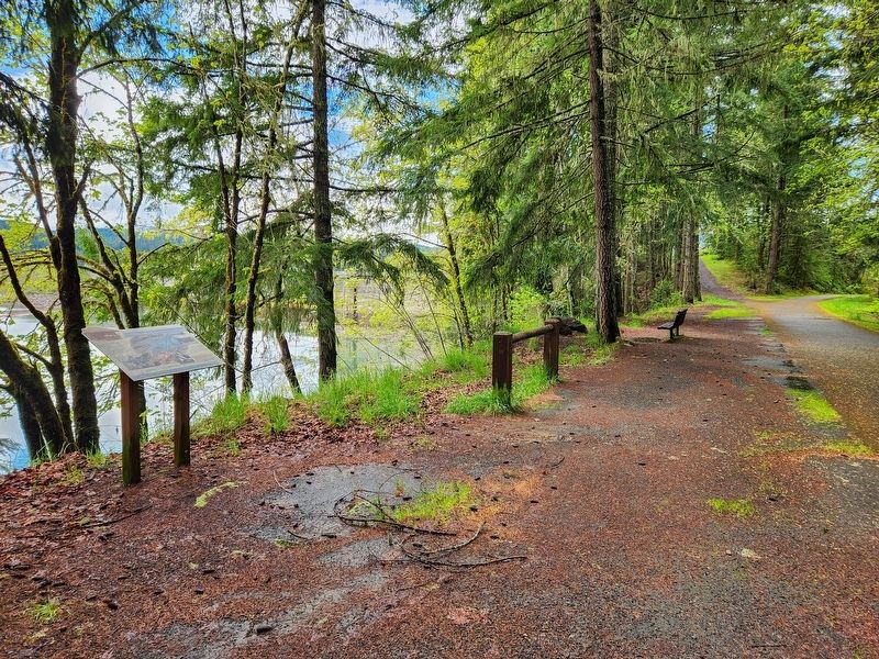
View of marker looking SW along the Row River Trail. Dorena Lake is on the left.
More about this marker. This marker is located near an Oregon Film Trail marker along the Row River Trail.
Photographed by Douglass Halvorsen, April 11, 2026
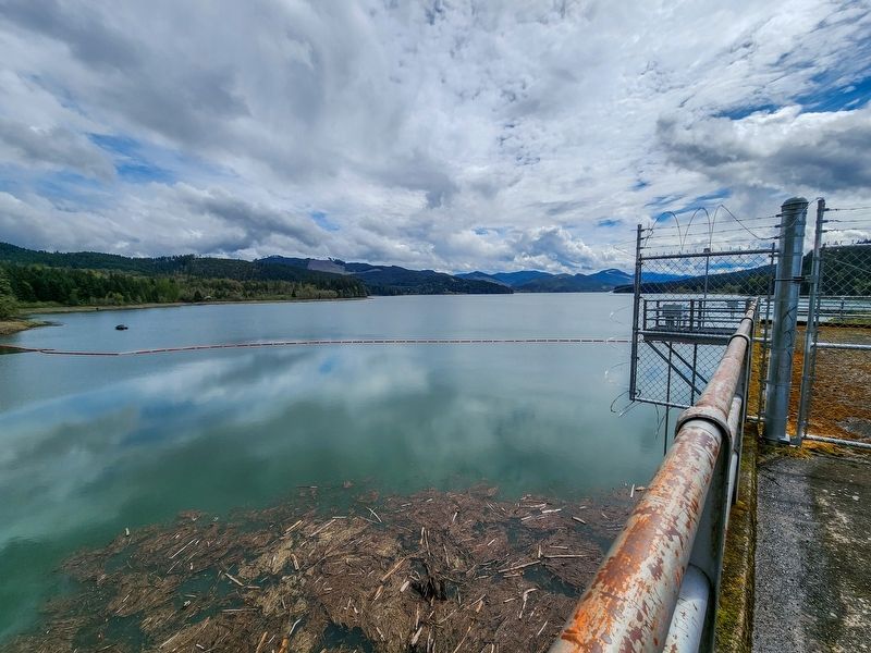
3. Dorena Lake
Photographed by Douglass Halvorsen, April 11, 2026
4. Dorena Dam
Credits. This page was last revised on April 17, 2026. It was originally submitted on April 16, 2026, by Douglass Halvorsen of Klamath Falls, Oregon. This page has been viewed 27 times since then. Last updated on April 17, 2026, by Douglass Halvorsen of Klamath Falls, Oregon. Photos: 1, 2, 3, 4. submitted on April 16, 2026, by Douglass Halvorsen of Klamath Falls, Oregon. • Devry Becker Jones was the editor who published this page.
