Easton in Northampton County, Pennsylvania — The American Northeast (Mid-Atlantic)
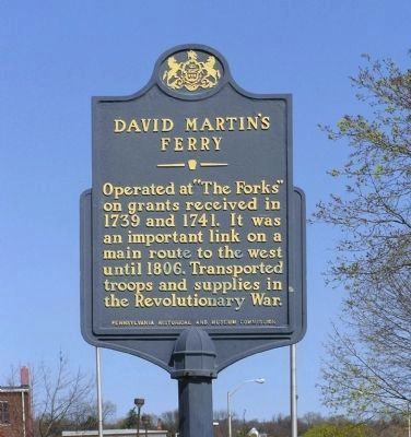
David Martin's Ferry
Erected 1953 by Pennsylvania Historical and Museum Commission.
Topics and series. This historical marker is listed in these topic lists: Natural Features • Settlements & Settlers • War, US Revolutionary • Waterways & Vessels. In addition, it is included in the Pennsylvania Historical and Museum Commission series list. A significant historical year for this entry is 1739.
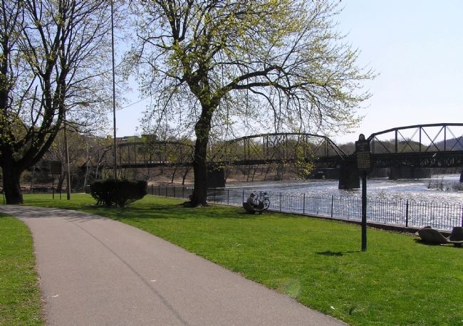
Location. 40° 41.383′ N, 75° 12.333′ W. Marker is in Easton, Pennsylvania, in Northampton County. Marker is on Larry Holmes Drive (Pennsylvania Route 611) 0.1 miles south of Northampton Street (Pennsylvania Route 248), on the left when traveling south. The marker is set back from the road side in the narrow riverside path. But still visible from the road. Touch for map. Marker is in this post office area: Easton PA 18042, United States of America. Touch for directions.
Other nearby markers. At least 8 other markers are within walking distance of this marker. Welcome to Easton! (about 500 feet away, measured in a direct line); Phoenix Hose Company (about 600 feet away); Northampton County (about 700 feet away); Mid-Atlantic Highlands (about 700 feet away); Delaware Canal (about 700 feet away); Connecting Communities Across the Delaware River (about 700 feet away); Northampton Street Bridge (about 700 feet away); 1753 Bachmann Publick House (about 800 feet away). Touch for a list and map of all markers in Easton.
Credits. This page was last revised on June 16, 2016. It was originally submitted on April 14, 2010, by PaulwC3 of Northern, Virginia. This page has been viewed 956 times since then and 16 times this year. Photos: 1, 2. submitted on April 14, 2010, by PaulwC3 of Northern, Virginia.

