Three Rivers in Tulare County, California — The American West (Pacific Coastal)
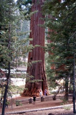
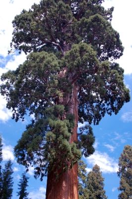
Sequoia-Kings Canyon National Parks
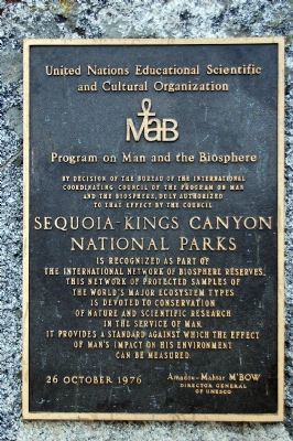
United Nations Education Scientific and Cultural Organization
MAB
Program on Man and the Biosphere
By decision of the Bureau of the International Coordinating Council of the Program on Man and the Biosphere, duly authorized to that effect by the council
Sequoia-Kings Canyon National Parks
is recognized as part of the International Network of Biosphere Reserves. This network of protected samples of the world’s major ecosystem types is devoted to conservation of nature and the scientific research in the service of man. It provides a standard against which the effect of man’s impact on his environment can be measured.
26 October 1976
Amadou-Mahtar M’BOW
Director of General of UNESCO
Erected 1976 by United Nations Education Scientific and Cultural Organization.
Topics. This historical marker is listed in these topic lists: Environment • Natural Resources. A significant historical date for this entry is October 26, 1976.
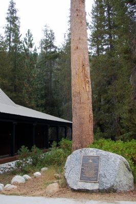
Location. 36° 36.257′ N, 118° 43.911′ W. Marker is in Three Rivers, California, in Tulare County. Marker can be reached from River Road. Marker is located in front of the Visitor Center. Touch for map. Marker is in this post office area: Three Rivers CA 93271, United States of America. Touch for directions.
Other nearby markers. At least 8 other markers are within 5 miles of this marker , measured as the crow flies. General Sherman Tree (approx. 2 miles away); Cattle Cabin (approx. 2.6 miles away); For the Good of the Giants (approx. 3.6 miles away); Stephen Tyng Mather (approx. 3.9 miles away); The CCC Boys (approx. 3.9 miles away); Colonel Young: A Buffalo Soldier (approx. 4 miles away); Auto Log (approx. 4 miles away); Call the Cavalry! (approx. 4.1 miles away). Touch for a list and map of all markers in Three Rivers.
Also see . . .
1. UNESCO's Man and the Biosphere Programme (MAB). Organization website (Submitted on October 15, 2007, by Karen Key of Sacramento, California.)
2. Sequoia & Kings Canyon National Parks, California. National Parks Service website (Submitted on February 8, 2021, by Larry Gertner of New York, New York.)
Credits. This page was last revised on February 8, 2021. It was originally submitted on October 15, 2007, by Karen Key of Sacramento, California. This page has been viewed 1,600 times since then and 15 times this year. Photos: 1, 2, 3, 4. submitted on October 15, 2007, by Karen Key of Sacramento, California. • J. J. Prats was the editor who published this page.


