San Juan Capistrano in Orange County, California — The American West (Pacific Coastal)
Historic Mission Cemetery
Photographed by Craig Baker, March 11, 2026
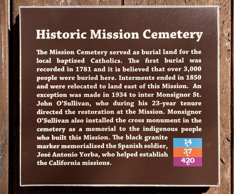
1. Historic Mission Cemetery Marker
The Mission Cemetery served as burial land for the local baptized Catholics. The first burial was recorded in 1781 and it is believed that over 3,000 people were buried here. Interments ended in 1850 and were relocated to land east of this Mission. An exception was made in 1934 to inter Monsignor St. John O'Sullivan, who during his 23-year tenure directed the restoration at the Mission. Monsignor O'Sullivan also installed the cross monument in the cemetery as a memorial to the indigenous people who built this Mission. The black granite marker memorialized the Spanish soldier, José Antonio Yorba, who helped establish the California missions.
Topics. This historical marker is listed in these topic lists: Cemeteries & Burial Sites • Religion & Religious Structures. A significant historical year for this entry is 1781.
Location. 33° 30.175′ N, 117° 39.73′ W. Marker is in San Juan Capistrano, California, in Orange County. It can be reached from the intersection of Old Mission Road and Camino Capistrano. Touch for map. Marker is at or near this postal address: 26801 Old Mission Rd, San Juan Capistrano CA 92675,
this page online

Regionally, this marker is in Greater Los Angeles and in the Peninsular Ranges. It is also on the American Pacific Coast. Globally, it is in North America, on the Ring of Fire, on the Pacific Rim, in the Western Hemisphere, in the Western World, and in the Anglosphere. Historically, it finds itself in what was once New Spain and also Mexico’s Alta California.
Other nearby markers. At least 8 other markers are within walking distance of this marker: Fr. Serra’s Church (within shouting distance of this marker); San Juan Elementary School Site (within shouting distance of this marker); Kiicha (within shouting distance of this marker); Olive Mill (within shouting distance of this marker); The Founding Documents of Mission San Juan Capistrano (about 300 feet away, measured in a direct line); Metalworking Furnaces (about 300 feet away); The Great Stone Church (about 300 feet away); a different marker also named Mission San Juan Capistrano (about 300 feet away). Touch for a list and map of all markers in San Juan Capistrano.
Another marker is no longer nearby. Mission San Juan Capistrano
Photographed by Craig Baker, March 11, 2026
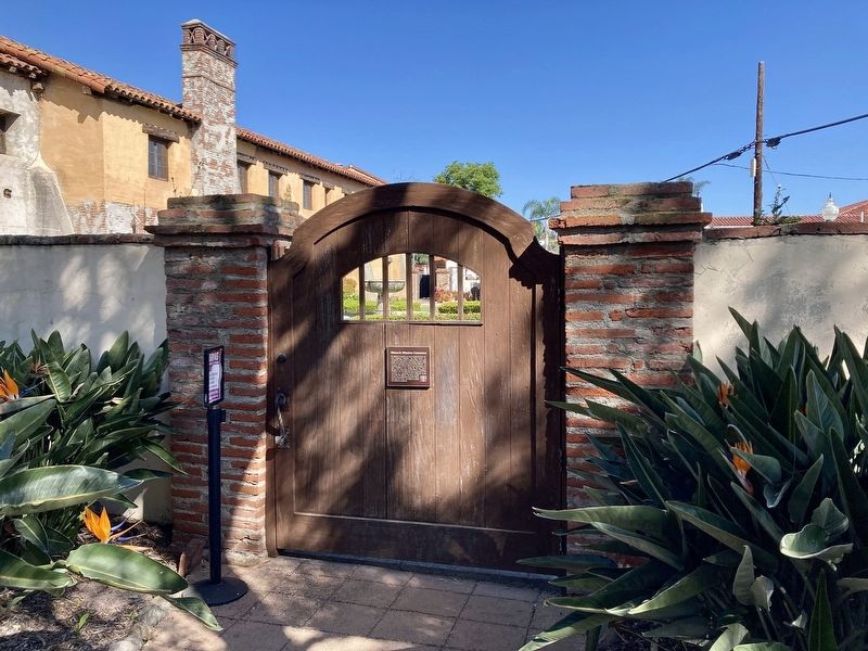
2. Historic Mission Cemetery Marker
Photographed by Craig Baker, March 11, 2026
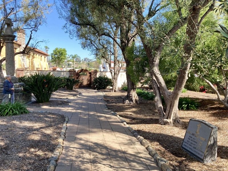
3. Historic Mission Cemetery
Photographed by Craig Baker, March 11, 2026
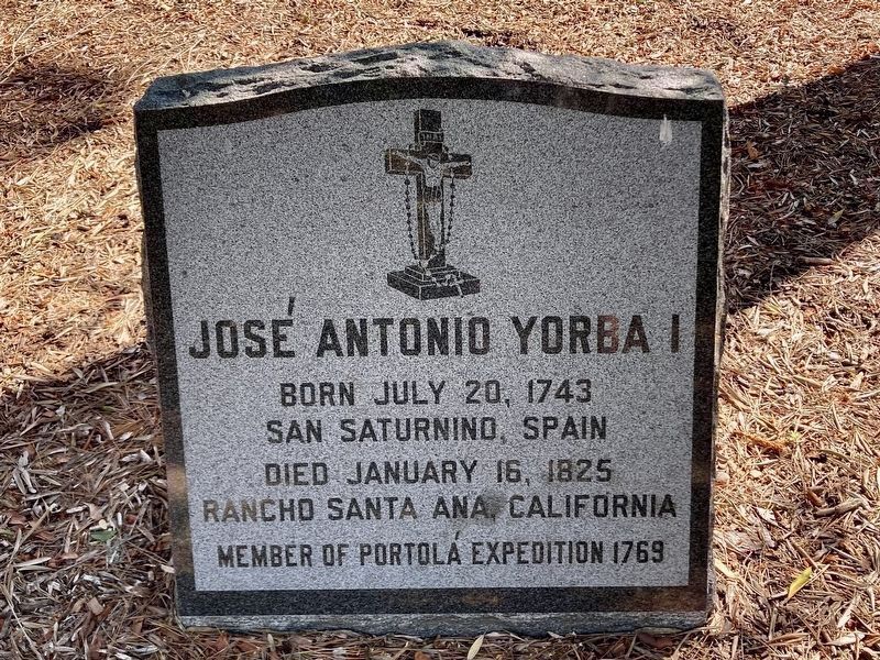
4. José Antonio Yorba Gravesite
Portola Expedition 1769. Helped establish the California missions.
Credits. This page was last revised on August 20, 2026. It was originally submitted on April 19, 2026, by Craig Baker of Sylmar, California. This page has been viewed 26 times since then. Photos: 1, 2, 3, 4. submitted on April 19, 2026, by Craig Baker of Sylmar, California.
