Portsmouth in Rockingham County, New Hampshire — The American Northeast (New England)
Black Yankees and The Sea
Portsmouth Black Heritage Trail
Photographed by Cosmos Mariner, June 28, 2017
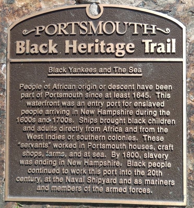
1. Black Yankees and The Sea Marker
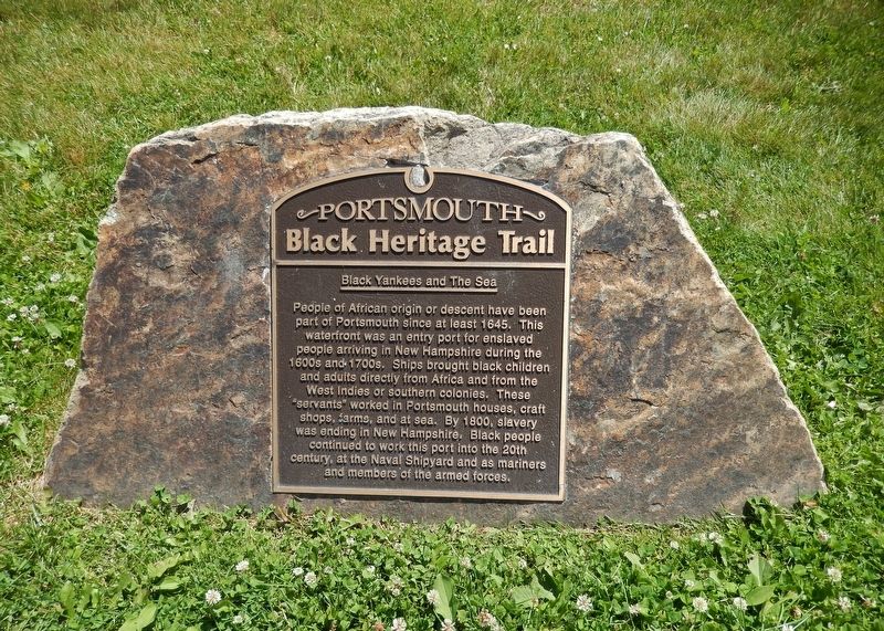
People of African origin or descent have been part of Portsmouth since at least 1645. This waterfront was an entry port for enslaved people arriving in New Hampshire during the 1600s and 1700s. Ships brought black children and adults directly from Africa and from the West Indies or southern colonies. These “servants” worked in Portsmouth houses, craft shops, farms, and at sea. By 1800, slavery was ending in New Hampshire. Black people continued to work this port into the 20th century, at the Naval Shipyard and as members of the armed forces.
Erected by Portsmouth Black Heritage Trail.
Topics and series. This historical marker is listed in these topic lists: African Americans • Colonial Era • Industry & Commerce. In addition, it is included in the New Hampshire, The Black Heritage Trail of series list. A significant historical year for this entry is 1645.
Location. 43° 4.605′ N, 70° 45.067′ W. Marker is in Portsmouth, New Hampshire, in Rockingham County. It can be reached from Marcy Street east of Puddle Lane, on the right when traveling north. Marker is located at the east edge of Prescott Park, near the
this page online

Regionally, this marker is on New Hampshire’s Seacoast. It is also in the American Northeast, in New England, and on the Eastern Seaboard. Globally, it is in the North Atlantic Region, North America, the Western Hemisphere, the Western World, and the Anglosphere. Historically, it finds itself in what was once one of the original Thirteen Colonies.
Other nearby markers. At least 8 other markers are within walking distance of this marker: Portsmouth Navy Yard (within shouting distance of this marker); Portsmouth NH Marine Railway (within shouting distance of this marker); Liberty Pole and Bridge (about 300 feet away, measured in a direct line); Red Light District (about 400 feet away); Sheafe Warehouse (about 400 feet away); Point of Graves (about 500 feet away); Oracle House (about 500 feet away); a different marker also named Point of Graves (about 500 feet away). Touch for a list and map of all markers in Portsmouth.
More about this marker.
Photographed by Cosmos Mariner, June 28, 2017
2. Black Yankees and The Sea Marker (wide view)
Regarding Black Yankees and The Sea. MPCPMP contributed to the research and installation of this marker.
Related markers. Click here for a list of markers that are related to this marker. Portsmouth Black Heritage Trail
Also see . . . Portsmouth Black Heritage Trail.
Most black people in Portsmouth lived within a few blocks of the river. Jobs as mariners, stevedores and truckmen were available in places like Ceres Street, which is little changed since 1805. At sea, the need to cooperate for safety in severe conditions and for mutual support against harsh captains fostered inter-racial egalitarianism and friendships. Black Jacks Employers gave equal pay and rank to qualified black mariners; some became officers on New England’s dangerous whaling ships. (Submitted on April 7, 2018, by Cosmos Mariner of Cape Canaveral, Florida.)
Additional keywords. Middle Passage Ceremonies and Port Markers Project; Middle Passage; human trafficking; Trans-Atlantic Trade; UNESCO Routes of Enslaved Peoples (Slave Route Project); UNESCO Site of Memory; International
Photographed by Cosmos Mariner, June 28, 2017
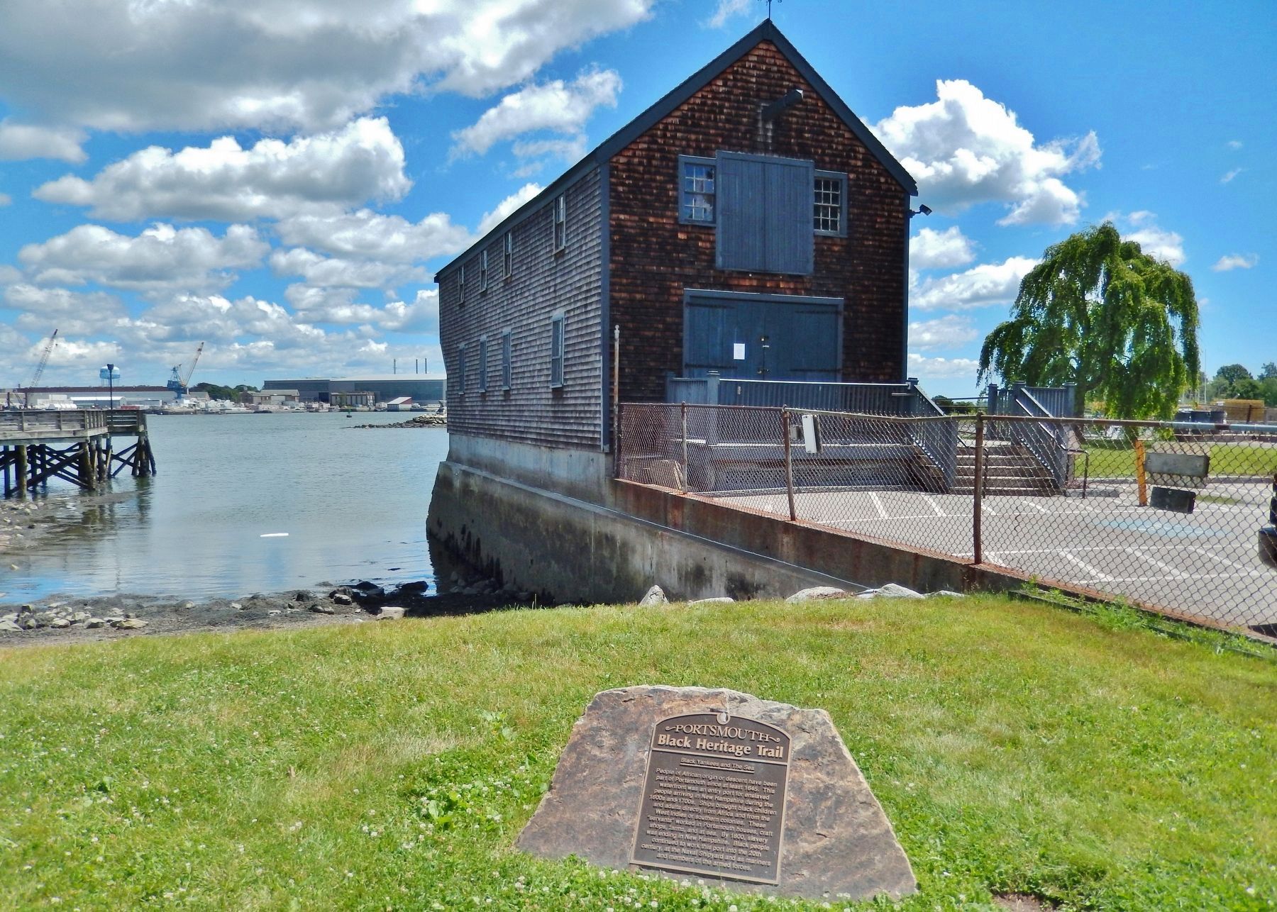
3. Black Yankees and The Sea Marker (wide view; Sheafe Warehouse & Piscataqua River background)
Credits. This page was last revised on April 24, 2026. It was originally submitted on April 7, 2018, by Cosmos Mariner of Cape Canaveral, Florida. This page has been viewed 540 times since then and 46 times this year. Last updated on April 24, 2026, by Kaycee Hailey of Charlotte, North Carolina. Photos: 1, 2, 3. submitted on April 7, 2018, by Cosmos Mariner of Cape Canaveral, Florida. • Devry Becker Jones was the editor who published this page.
