Elmira in Chemung County, New York — The American Northeast (Mid-Atlantic)
Old Ferry
Photographed by Forest McDermott, July 26, 2014
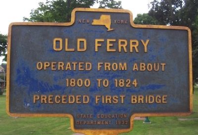
1. Old Ferry Marker
Operated from about 1800 to 1824 preceded first bridge
Erected 1932 by State Education Department.
Topics. This historical marker is listed in these topic lists: Industry & Commerce • Waterways & Vessels. A significant historical year for this entry is 1800.
Location. 42° 5.194′ N, 76° 47.881′ W. Marker is in Elmira, New York, in Chemung County. It is on Madison Avenue 0.2 miles north of Maple Avenue, on the right when traveling north. The marker stands next to Riverfront Park. Touch for map. Marker is at or near this postal address: 352 New York State Bicycle Route 14, Elmira NY 14904, United States of America. Touch for directions.

Regionally, this marker is in Upstate New York and in the Southern Tier. It is also in the American Northeast, in the Mid-Atlantic, in Appalachia, and specifically in Northern Appalachia. Globally, it is in North America, the Western Hemisphere, the Western World, and the Anglosphere. Historically, it finds itself in what was once New Netherland and also one of the original Thirteen Colonies.
Other nearby markers. At least 8 other markers are within walking distance
this page online
Photographed by Brian Scott, September 20, 2015
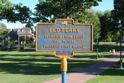
2. Old Ferry Marker
Photographed by Brian Scott, September 20, 2015
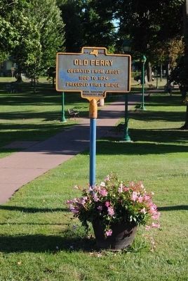
3. Old Ferry Marker
Photographed by Forest McDermott, July 26, 2014
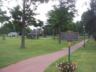
4. Old Ferry Marker
Taken looking south with Riverfront Park to the left.
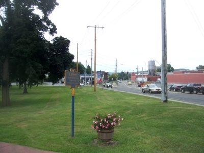
Photographed by Forest McDermott, July 26, 2014
5. Old Ferry Marker
Taken looking south on Madison Avenue.
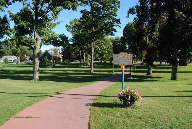
Photographed by Brian Scott, September 20, 2015
6. Old Ferry Marker
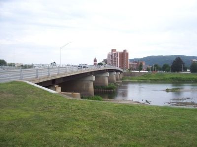
Photographed by Forest McDermott, July 26, 2014
7. Chemung River where Old Ferry operated
How the river and current bridge looks with the marker to the left behind the photographer.
Credits. This page was last revised on April 27, 2026. It was originally submitted on October 12, 2014, by Forest McDermott of Masontown, Pennsylvania. This page has been viewed 644 times since then and 32 times this year. Last updated on April 26, 2026, by Barbara Degnan of Southport, New York. Photos: 1. submitted on October 12, 2014, by Forest McDermott of Masontown, Pennsylvania. 2, 3. submitted on November 4, 2015, by Brian Scott of Anderson, South Carolina. 4, 5. submitted on October 12, 2014, by Forest McDermott of Masontown, Pennsylvania. 6. submitted on November 4, 2015, by Brian Scott of Anderson, South Carolina. 7. submitted on October 12, 2014, by Forest McDermott of Masontown, Pennsylvania. • Devry Becker Jones was the editor who published this page.
