Downtown Providence in Providence County, Rhode Island — The American Northeast (New England)
Providence
(Water Street)
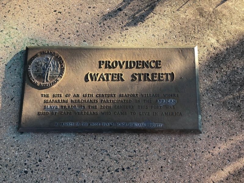
The site of an 18th century seaport village where seafaring merchants participated in the African slave trade. In the 20th century this port was used by Cape Verdeans who came to live in America.
Erected by The Rhode Island Black Heritage Society.
Topics and series. This historical marker is listed in these topic lists: African Americans • Industry & Commerce • Settlements & Settlers • Waterways & Vessels. In addition, it is included in the The Rhode Island Black Heritage Society series list.
Location. 41° 49.309′ N, 71° 24.338′ W. Marker is in Providence, Rhode Island, in Providence County. It is in Downtown Providence. It is on South Water Street south of Power Street, on the right when traveling south. Touch for map. Marker is at or near this postal address: 243 S Water St, Providence RI 02903, United States of America. Touch for directions.

Regionally, this marker is on Narragansett Bay. It is also in the American Northeast, in New England, and on the Eastern Seaboard. Globally, it is in the North Atlantic Region, North America, the Western
this page online
Other nearby markers. At least 8 other markers are within walking distance of this marker: Rise of the Gangways (1704-1844) / Fall of the Gangways (1844-1983) (here, next to this marker); HMS Gaspee (about 500 feet away, measured in a direct line); Sons of Liberty (about 600 feet away); Revolutions: American and Industrial (about 600 feet away); Crawford Street Bridge Without Crawford Street (about 600 feet away); The Changing Face of the West Bank / The West Bank (about 600 feet away); The Olmsted Plan (about 700 feet away); Central Wharf Shipping, Whaling, and Other Industries (about 700 feet away). Touch for a list and map of all markers in Providence.
Also see . . . Cape Verdean American. (Submitted on June 22, 2012, by Bill Pfingsten of Bel Air, Maryland.)
Additional keywords. Human trafficking; New Americans; Middle Passage; Middle Passage Series; Middle Passage Ceremonies and Port Markers Project; Trans-Atlantic Trade; UNESCO Routes of Enslaved Peoples (Slave Route
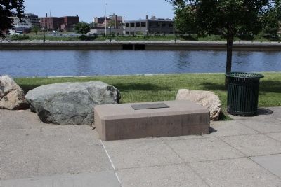
Photographed by Bryan Simmons, June 2012
2. Providence Marker
Credits. This page was last revised on April 27, 2026. It was originally submitted on June 11, 2012, by Bryan Simmons of Attleboro, Massachusetts. This page has been viewed 1,040 times since then and 51 times this year. Last updated on April 27, 2026, by Kaycee Hailey of Charlotte, North Carolina. Photos: 1. submitted on June 22, 2020, by Devry Becker Jones of Washington, District of Columbia. 2. submitted on June 11, 2012, by Bryan Simmons of Attleboro, Massachusetts. • Devry Becker Jones was the editor who published this page.
