Elsinboro Township in Salem County, New Jersey — The American Northeast (Mid-Atlantic)
Fort Elfsborg
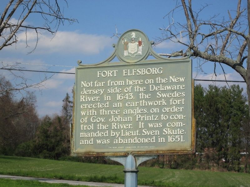
Photographed by Donald B. Caselli (Barry), April 13, 2013
1. Fort Elfsborg Marker
Not far from here on the New Jersey side of the Delaware River, in 1643, the Swedes erected an earthwork fort with three angles, on order of Gov. Johan Printz to control the River. It was commanded by Lieut. Sven Skute, and was abandoned in 1651.
Erected by The New Jersey Commission on Historic Sites.
Topics. This historical marker is listed in these topic lists: Colonial Era • Forts and Castles. A significant historical year for this entry is 1643.
Location. 39° 32.955′ N, 75° 31.261′ W. Marker is in Elsinboro Township, New Jersey, in Salem County. It is at the intersection of Fort Elfsborg-Salem Road (County Route 625) and Fort Elfsborg Road (County Route 624), on the left when traveling north on Fort Elfsborg-Salem Road. Touch for map. Marker is in this post office area: Salem NJ 08079, United States of America. Touch for directions.

Regionally, this marker is in Greater Wilmington, in South Jersey, and in Greater Philadelphia. It is also in the American Northeast, in the Mid-Atlantic, and on the Eastern Seaboard. Globally, it is in the North Atlantic Region, North America, the Western Hemisphere, the
this page online
Other nearby markers. At least 8 other markers are within 4 miles of this marker, measured as the crow flies: City of Salem West Broadway National Historic District (approx. 3 miles away); Salem Oak Tree (approx. 3.2 miles away); Esther “Hetty” Saunders (approx. 3.2 miles away); Friends Burial Ground (approx. 3.2 miles away); Broadway United Methodist Church (approx. 3.2 miles away); Thomas Sinnickson House (approx. 3.2 miles away); 117 West Broadway (approx. 3.2 miles away); Salem Municipal Court (approx. 3.2 miles away).
Another marker is no longer nearby. Salem Oak Tree (was approx. 3.2 miles away but has been replaced with another marker now near it).
More about this marker. Though not dated on its face, the State website states the marker was installed in 1938.
Also see . . . Fort Nya Elfsborg (Wikipedia). (Submitted on May 7, 2026, by Michael Herrick of Southbury, Connecticut.)
Credits. This page was last revised on May 7, 2026. It was originally submitted on April 27, 2026, by Donald B. Caselli (Barry) of Hopewell, Virginia. This page has been viewed 21 times since then. Photo 1. submitted on April 27, 2026, by Donald B. Caselli (Barry) of Hopewell, Virginia. • Michael Herrick was the editor who published this page.
