University District in Columbus in Franklin County, Ohio — The American Midwest (Great Lakes)
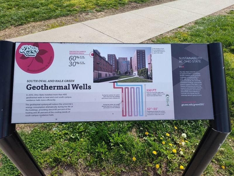
South Oval and Hale Green Geothermal Wells
Sustainability in Action
Photographed by Craig Doda, April 11, 2026
1. South Oval and Hale Green Geothermal Wells Marker
The geothermal system will reduce the university's energy consumption dramatically during the life of the buildings, providing about 60 percent of the heating and 30 percent of the cooling needs of south campus residence halls.
Sustainability at Ohio State
There are more than 400 wells drilled to a depth of 550 ft. in the South Oval and Hale Green. The Ohio State University is a recognized leader in developing durable solutions to the pressing challenges of sustainability. In 2015, with input from faculty, staff and students, the university established strategic sustainability goals to support Ohio State's core mission of teaching and learning, research and innovation, outreach and engagement, and resource stewardship, thus instituting a concrete set of goals that the university will use going forward.
Topics. This historical marker is listed in these topic lists: Education • Environment • Natural Resources. A significant historical year for this entry is 2013.
Location. 39° 59.861′ N, 83° 0.588′ W.
this page online

Regionally, this marker is in Ohio’s Scioto Valley. It is also in the American Midwest and in the Corn Belt. Globally, it is in North America, the Western Hemisphere, the Western World, and the Anglosphere. Historically, it finds itself in what was once the Haudenosaunee (Iroquois) Confederacy, the territory of the Mississippian Culture, and the Northwest Territory.
Other nearby markers. At least 8 other markers are within walking distance of this marker: The Underground Railroad on University Land (within shouting distance of this marker); a different marker also named The Underground Railroad on University Land (about 400 feet away, measured in a direct line); Block "O" Fire Pit (about 400 feet away); Alpha Phi Alpha Fraternity, Inc. (about 500 feet away); Alpha Kappa Alpha Sorority, Incorporated
Photographed by Craig Doda, April 11, 2026
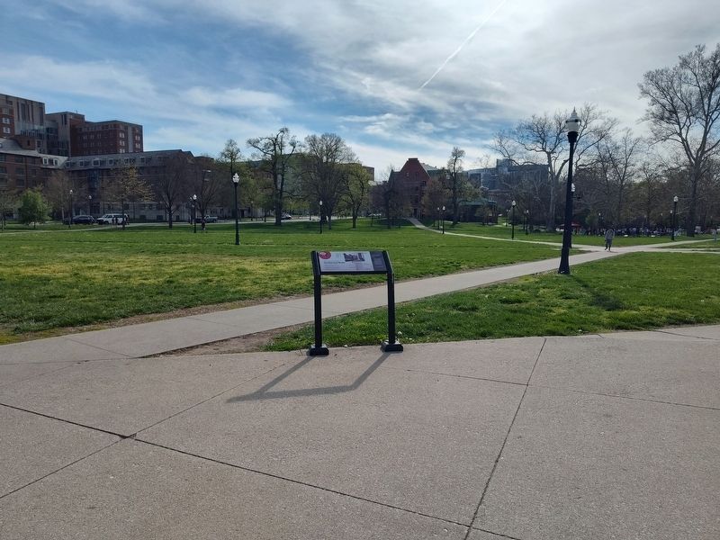
2. South Oval and Hale Green Geothermal Wells Marker
Credits. This page was last revised on April 29, 2026. It was originally submitted on April 29, 2026, by Craig Doda of Napoleon, Ohio. This page has been viewed 14 times since then. Photos: 1, 2. submitted on April 29, 2026, by Craig Doda of Napoleon, Ohio. • Devry Becker Jones was the editor who published this page.
