Danville, Virginia — The American South (Mid-Atlantic)
Roanoke Navigation System

Photographed by C. Ryan Dodson, October 12, 2024
1. Roanoke Navigation System Marker
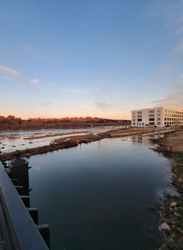
The canal running just under the south end of the bridge is a remnant of a transportation network that once linked the basins of the Dan, Staunton and Roanoke Rivers. Patrick Henry helped pass the first authorization for such a system, but work began in earnest in 1815 when Virginia and North Carolina formed a single interstate incorporation. Danville’s ¾ mile segment, known locally as the Morotock Canal, was completed in 1823, consisted of a guard lock and four lift locks, all of wood, which enabled flat-bottomed boats called bateaux to navigate around Wynn’s Falls, shallow rapids where the Town of Danville had begun in 1793. At its peak in 1828, the Roanoke Navigation System linked Danville by water to Weldon NC, 120 miles southeast and Leaksville, NC 30 miles southwest. Success of the Richmond & Danville Railroad, and its successor, the Southern, led to the dissolution of the Roanoke Navigation system in the early 1880s. When the Riverside Cotton Mills was founded in 1882, the company purchased the waterway for its system of hydropower turbines which powered the Riverside Division during its early years. In the 1970s,
this page online
Erected 1994 by City of Danville.
Topics. This historical marker is listed in these topic lists: Bridges & Viaducts • Industry & Commerce • Waterways & Vessels. A significant historical year for this entry is 1823.
Location. 36° 35.597′ N, 79° 23.831′ W. Marker is in Danville, Virginia. It is on Union Street Bridge north of Memorial Drive (Virginia Route 413), on the right when traveling north. Touch for map. Marker is in this post office area: Danville VA 24541, United States of America. Touch for directions.

Regionally, this marker is in Southside Virginia and specifically in Central Virginia. It is also in the American South and specifically in the Upper South. Globally, it is in North America, the Western

Photographed by C. Ryan Dodson, December 7, 2024
2. Roanoke Navigation System Marker
Other nearby markers. At least 8 other markers are within walking distance of this marker: Danville Historic Mill District (within shouting distance of this marker); Union Street Bridge (within shouting distance of this marker); Union Street Dam (about 500 feet away, measured in a direct line); The Dan River (about 600 feet away); Union Street Dam & Bridge (about 700 feet away); Preservation Alliance of Virginia (about 800 feet away); a different marker also named Union Street Bridge (approx. 0.2 miles away); The Wreck of the Old 97 (approx. 0.2 miles away). Touch for a list and map of all markers in Danville.
More about this marker. This is one of eight historic markers installed along the Union Street Bridge in 1994.
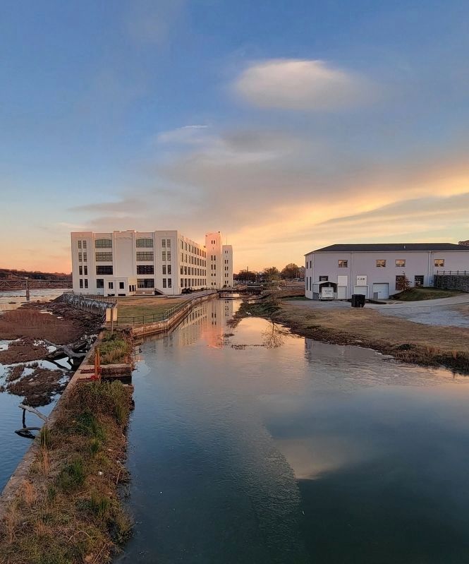
Photographed by C. Ryan Dodson, December 7, 2024
3. Former Roanoke Navigation System canal

Photographed by C. Ryan Dodson, December 7, 2024
4. Former Roanoke Navigation System canal
Photographed by C. Ryan Dodson, December 7, 2024
5. Canal wall
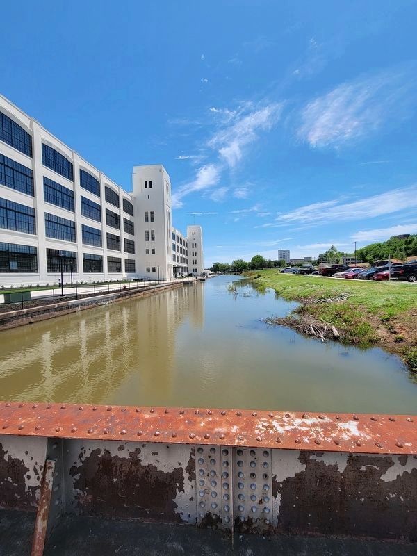
Photographed by C. Ryan Dodson, May 19, 2025
6. Former Roanoke Navigation System Canal
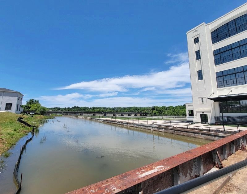
Photographed by C. Ryan Dodson, May 19, 2025
7. Former Roanoke Navigation System Canal
Credits. This page was last revised on April 30, 2026. It was originally submitted on December 8, 2024, by C. Ryan Dodson of Danville, Virginia. This page has been viewed 214 times since then and 34 times this year. Last updated on April 29, 2026, by C. Ryan Dodson of Danville, Virginia. Photos: 1, 2, 3, 4, 5. submitted on December 8, 2024, by C. Ryan Dodson of Danville, Virginia. 6, 7. submitted on September 4, 2025, by C. Ryan Dodson of Danville, Virginia. • Devry Becker Jones was the editor who published this page.
