Danville, Virginia — The American South (Mid-Atlantic)
Union Street Dam

Photographed by C. Ryan Dodson, October 12, 2024
1. Union Street Dam Marker
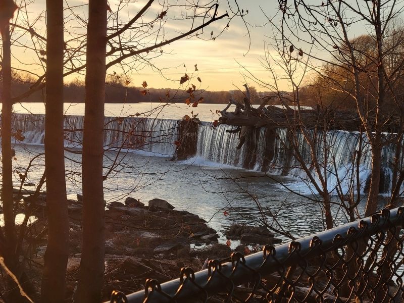
The original Union Street Dam was constructed by the Roanoke Navigation Company to divert water into its canal at the south side of the Dan River. Located to the west (opposite side of the bridge), it was built circa 1816, probably in a crib structure made of interlocking frame boxes of heavy timbers filled with rubble. The dam was rebuilt in 1882-1883 in order to provide a more substantial structure and to divert water to both sides of the river for the generation of hydroelectric power to large milling operations located along the Dan. The Union Street Dam is a 10 foot high structure made of granite slabs, which bows upstream against the river’s current and is designed with a free overflow feature. A fishway is located near the left abutment. On 2 July 1985, the Danville City Council unanimously objected to plans by the US Corps of Engineers to remove the dam, thus saving it for future generations to enjoy. (Gary Grant, 1994)
Erected 1994 by City of Danville.
Topics. This historical marker is listed in these topic lists: Architecture • Bridges & Viaducts • Industry & Commerce • Waterways & Vessels. A significant historical year for this entry is 1816.
Location. 36° 35.663′ N,
this page online

Regionally, this marker is in Southside Virginia and specifically in Central Virginia. It is also in the American South and specifically in the Upper South. Globally, it is in North America, the Western Hemisphere, the Western World, and the Anglosphere. Historically, it finds itself in what was once the territory of the Mississippian Culture, one of the original Thirteen Colonies, one of the Confederate States of America, and the Antebellum South.
Other nearby markers. At least 8 other markers are within walking distance of this marker: The Dan River (within shouting distance of this marker); Union Street Dam & Bridge (within shouting distance of this marker); Preservation Alliance of Virginia (about 300 feet away, measured in a direct line); Danville Historic Mill District (about 300 feet away); Union Street Bridge (about 400
Photographed by C. Ryan Dodson, December 7, 2024
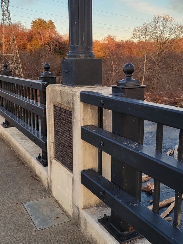
2. Union Street Dam Marker
More about this marker. This is one of eight historic markers installed along the Union Street Bridge in 1994.

Photographed by C. Ryan Dodson, December 7, 2024
3. Union Street Dam at sunset
Photographed by C. Ryan Dodson, December 7, 2024
4. Union Street Dam
as seen from near the fishway described in the Marker

Photographed by C. Ryan Dodson, December 7, 2024
5. Union Street Dam and Union Street Bridge are located close to each other
Credits. This page was last revised on April 30, 2026. It was originally submitted on December 8, 2024, by C. Ryan Dodson of Danville, Virginia. This page has been viewed 196 times since then and 41 times this year. Last updated on April 29, 2026, by C. Ryan Dodson of Danville, Virginia. Photos: 1, 2, 3, 4, 5. submitted on December 8, 2024, by C. Ryan Dodson of Danville, Virginia. • Devry Becker Jones was the editor who published this page.
