Danville, Virginia — The American South (Mid-Atlantic)
Union Street Bridge
Photographed by C. Ryan Dodson, October 12, 2024
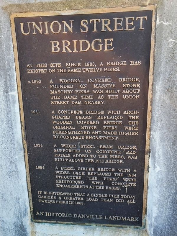
1. Union Street Bridge Marker
At this site, since 1883, a bridge has existed on the same twelve piers.
c.1883 A wooden covered bridge, founded on massive stone masonry piers, was built the same time as the Union Street Dam nearby.
1911 A concrete bridge with arch-shaped beams replaced the wood covered bridge. The original stone piers were strengthened and made higher by concrete encasement.
1934 A wider steel beam bridge, supported on concrete pedestals added to the piers, was built above the 1911 bridge.
1994 A steel girder bridge with a wider deck replaced the 1934 structure. The piers were reinforced with concrete encasements at the bases.
It is estimated that a single pier today carries a greater load than did all twelve piers in 1883.
An historic Danville Landmark
Erected 1994 by City of Danville.
Topics. This historical marker is listed in these topic lists: Architecture • Bridges & Viaducts • Waterways & Vessels. A significant historical year for this entry is 1883.
Location. 36° 35.713′ N, 79° 23.732′ W. Marker is in Danville, Virginia. It is on Union Street Bridge north of Memorial Drive (Virginia Route 413),
this page online

Regionally, this marker is in Southside Virginia and specifically in Central Virginia. It is also in the American South and specifically in the Upper South. Globally, it is in North America, the Western Hemisphere, the Western World, and the Anglosphere. Historically, it finds itself in what was once the territory of the Mississippian Culture, one of the original Thirteen Colonies, one of the Confederate States of America, and the Antebellum South.
Other nearby markers. At least 8 other markers are within walking distance of this marker: The Wreck of the Old 97 (a few steps from this marker); Preservation Alliance of Virginia (a few steps from this marker); Union Street Dam & Bridge (within shouting distance of this marker); The Dan River (within shouting distance of this marker); Union Street Dam (about 400 feet away, measured in a direct line); Danville Historic Mill District (about 700 feet away); Roanoke Navigation System (approx. 0.2 miles away); Long Mill (approx.
Photographed by C. Ryan Dodson, December 7, 2024
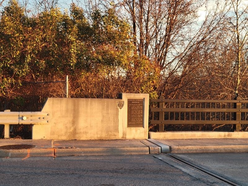
2. Union Street Bridge Marker
More about this marker. This is one of eight historic markers installed along the Union Street Bridge in 1994.
Photographed by C. Ryan Dodson, December 7, 2024
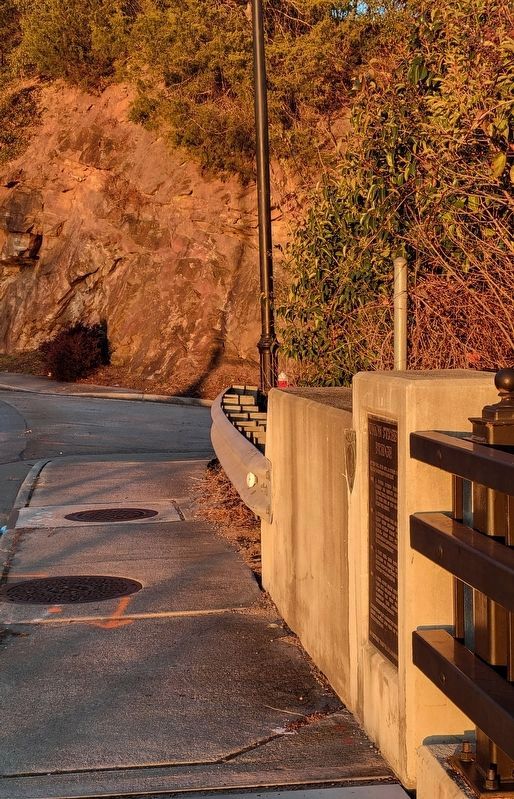
3. Union Street Bridge Marker
Photographed by C. Ryan Dodson, December 7, 2024
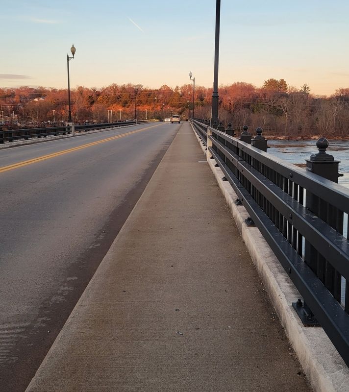
4. The view along Union Street Bridge
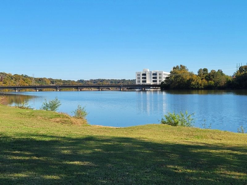
Photographed by C. Ryan Dodson, October 20, 2024
5. Union Street Bridge
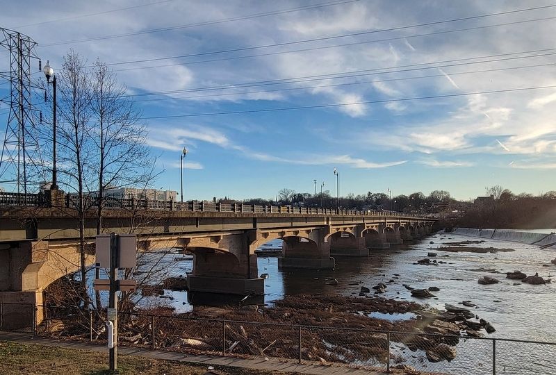
Photographed by C. Ryan Dodson, December 7, 2024
6. The historic piers supporting Union Street Bridge
Credits. This page was last revised on April 30, 2026. It was originally submitted on December 8, 2024, by C. Ryan Dodson of Danville, Virginia. This page has been viewed 181 times since then and 33 times this year. Last updated on April 29, 2026, by C. Ryan Dodson of Danville, Virginia. Photos: 1, 2. submitted on December 8, 2024, by C. Ryan Dodson of Danville, Virginia. 3. submitted on September 4, 2025, by C. Ryan Dodson of Danville, Virginia. 4, 5, 6. submitted on December 8, 2024, by C. Ryan Dodson of Danville, Virginia. • Devry Becker Jones was the editor who published this page.
