South Fairmount in Cincinnati in Hamilton County, Ohio — The American Midwest (Great Lakes)
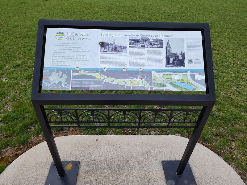
Building a Community in Churches and Schools
| — | Lick Run Greenway | — |
Photographed by Craig Doda, March 21, 2026
1. Building a Community in Churches and Schools Marker
When it rains, runoff from this area flows into the Mill Creek through the Lick Run Greenway. The Greenway uses a special wetland, stream, and pond to clean the rainwater on its journey.
Before the Greenway was built, large amounts of rainwater entered the sewer system, often causing a mixture of sewage and water to overflow into the Mill Creek. By sending runoff to the creek and keeping it out of the sewers, MSD is reducing sewage overflows, improving water quality, and restoring the natural connection between rainwater and the Mill Creek.
The story of South Fairmont revolves around industry and small, family-owned businesses. However, for more than 200 years, churches and schools have been the glue bringing people together and creating a vibrant, ever-evolving neighborhood. In particular, the story of the churches and schools in South Fairmount (which was called Fairmount until the 1920s) help us understand how two very
this page online
Germans Arrived First
The population of Fairmount surged in the mid to late 19th century with an influx of predominantly German Catholic immigrants. For these immigrants, everything from the language to the culture was different from what they knew. Many of the established churches and schools in the area were Protestant, but as the Catholic population increased, too did the need for a space for Catholic worship and to assemble as a community. The first of these institutions was St. Peter's Church, built in 1844 on Queen City Avenue.
After 20 years, the community outgrew St. Peter's Church along with St. School, resulting in the Archbishop of Cincinnati authorizing construction of St. Bonaventure Church. St. Bonaventure opened its church in 1869 and a school in 1871. Other, smaller parishes, including St. Immanuel Church and St. Martini Evangelical Church, also opened to serve the German population.
Here Come the Italians!
The Italians who immigrated to Fairmount in the late 19th and early 20th centuries moved into a community with an established German presence. Although German
Photographed by Craig Doda, March 21, 2026
2. Building a Community in Churches and Schools Marker
Immanuel Evangelical Church
The roots of Immanuel Evangelical Ox as Immanuel United Church of Christ, predate its current location at 1520 Queen City Avenue. The first congregation of the church, composed of mainly German immigrants and working-class local residents, assembled in 1886 at the corner of Tremont and Lawnway streets. Although not as well known as other traditional German churches located in Fairmount, church played a significant role in supporting this sector of the community. By the 1920s, it outgrew its space on the corner of Tremont and Lawnway streets and relocated to its current location. The historical Queen City Avenue location and is still in operation. The historical story, Gothic Revival building serves as a beautiful example of a community institution that continues to serve the ever-changing tapestry of Fairmount.
Did you know?
South Fairmount included at least seven churches of various denominations; six of these are still standing.
Schools were close enough to residences in South Fairmount that most children walked to and from school.
Built in 1909, the new school building at St. Bonaventure boasted electric lighting and featured an auditorium and 10 classrooms, originally divided into five for boys and five for girls.
Topics. This historical marker is listed in these topic lists: Education • Parks & Recreational Areas • Religion & Religious Structures. A significant historical year for this entry is 1844.
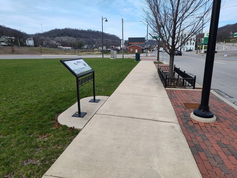
Location. 39° 7.57′ N, 84° 32.876′ W. Marker is in Cincinnati, Ohio, in Hamilton County. It is in South Fairmount. It is at the intersection of Queen City Avenue and Harrison Avenue, on the right when traveling east on Queen City Avenue. Touch for map. Marker is at or near this postal address: 1545 Queen City Ave, Cincinnati OH 45214, United States of America. Touch for directions.

Regionally, this marker is in the American Midwest and in the Ohio River Valley. Globally, it is in North America, the Western Hemisphere, the Western World, and the Anglosphere. Historically, it finds itself in what was once the Haudenosaunee (Iroquois) Confederacy, the territory of the Mississippian Culture, and the Northwest Territory.
Other nearby markers. At least 8 other markers are within 2 miles of this marker, measured as the crow flies: First Glass Door Oven (approx. 0.7 miles away); Site of Home Plate Crosley Field (approx. 0.9 miles away); Crosley Field (approx. 0.9 miles away); Camp Joy (approx. 1.2 miles away); Mohawk Honor Roll (approx. 1.2 miles away); Camp Washington World War Memorial (approx. 1.2 miles away); John James Audubon in Cincinnati (approx. 1.2 miles away); From the Farewell Address of George Washington (approx. 1.3 miles away). Touch for a list and map of all markers in Cincinnati.
Credits. This page was last revised on April 30, 2026. It was originally submitted on April 29, 2026, by Craig Doda of Napoleon, Ohio. This page has been viewed 17 times since then. Photos: 1, 2. submitted on April 29, 2026, by Craig Doda of Napoleon, Ohio. • Devry Becker Jones was the editor who published this page.
