Near Menard in Menard County, Texas — The American South (West South Central)
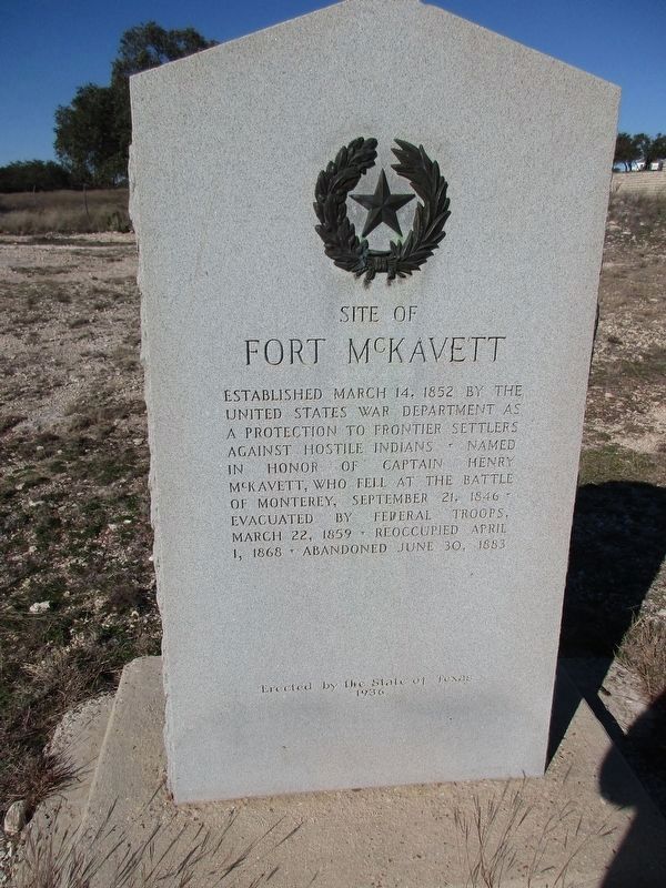
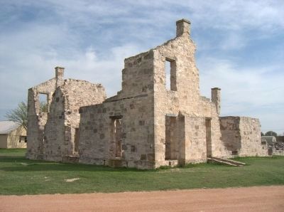
Site of Fort McKavett
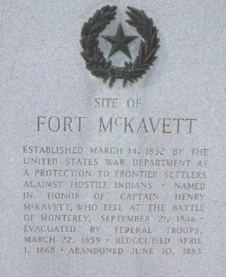
Established March 14, 1852 by the United States War Department as a protection to frontier settlers against hostile Indians. Named in honor of Captain Henry McKavett, who fell at the Battle of Monterey, September 21, 1846. Evacuated by federal troops, March 22, 1859. Reoccupied April 1, 1868. Abandoned June 30, 1883.
Erected 1936 by State of Texas Highway Department. (Marker Number 4795.)
Topics and series. This historical marker is listed in these topic lists: Forts and Castles • Military • Wars, US Indian. In addition, it is included in the Texas 1936 Centennial Markers and Monuments series list. A significant historical date for this entry is March 14, 1802.
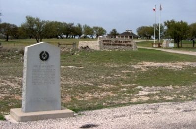
Location. 30° 49.483′ N, 100° 6.646′ W. Marker is near Menard, Texas, in Menard County. Marker is at the intersection of Railroad 864 and Ranch to Market Road 1674, on the right when traveling south on Railroad 864. Touch for map. Marker is in this post office area: Menard TX 76859, United States of America. Touch for directions.
Other nearby markers. At least 5 other markers are within 2 miles of this marker, measured as the crow flies. Cramped Quarters (approx. 0.2 miles away); Home on the Range (approx. ¼ mile away); The Enlisted Men (approx. ¼ mile away); Buffalo Soldiers at Fort McKavett (approx. 0.3 miles away); Colonel Black Ranch House (approx. 1.3 miles away).
Also see . . .
1. Fort McKavett State Historic Site. Wikipedia entry (Submitted on January 30, 2024, by Larry Gertner of New York, New York.)
2. Fort McKavett State Historic Site. Visitors Guide PDF (Submitted on January 30, 2024, by Larry Gertner of New York, New York.)
Credits. This page was last revised on January 30, 2024. It was originally submitted on April 18, 2010, by Gregory Walker of La Grange, Texas. This page has been viewed 1,099 times since then and 51 times this year. Photos: 1. submitted on January 8, 2024, by Jeff Leichsenring of Garland, Texas. 2, 3, 4, 5. submitted on April 18, 2010, by Gregory Walker of La Grange, Texas. 6, 7. submitted on April 30, 2010, by Richard Denney of Austin, Texas. • Bill Pfingsten was the editor who published this page.
