West Barnstable in Barnstable County, Massachusetts — The American Northeast (New England)
Site of Fortification House
Built by Deacon Wm Crocker
| — | 1643 | — |
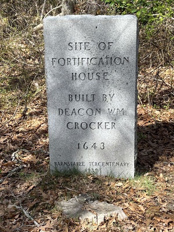
Photographed by Ralph Cahoon, April 28, 2026
1. Site of Fortification House Marker
Erected 1939.
Topics. This historical marker is listed in this topic list: Colonial Era. A significant historical year for this entry is 1643.
Location. 41° 41.817′ N, 70° 22.68′ W. Marker is in Barnstable, Massachusetts, in Barnstable County. It is in West Barnstable. It can be reached from Church St, on the left when traveling east. Located approximately 150 yards off road on hiking trail. Near cemetery. Touch for map. Marker is in this post office area: West Barnstable MA 02668, United States of America. Touch for directions.

Regionally, this marker is on Cape Cod. It is also in the American Northeast, in New England, and on the Eastern Seaboard. Globally, it is in the North Atlantic Region, North America, the Western Hemisphere, the Western World, and the Anglosphere. Historically, it finds itself in what was once one of the original Thirteen Colonies.
Other nearby markers. At least 8 other markers are within 3 miles of this marker, measured as the crow flies: West Parish Church Meeting House (approx. 0.3 miles
this page online
Credits. This page was last revised on May 8, 2026. It was originally submitted on May 1, 2026, by Ralph Cahoon of Barnstable, Massachusetts. This page has been viewed 28 times since then. Photo 1. submitted on May 1, 2026, by Ralph Cahoon of Barnstable, Massachusetts. • Bill Pfingsten was the editor who published this page.
