Near Gothenburg in Dawson County, Nebraska — The American Midwest (Upper Plains)
Swedish Crosses Cemetery
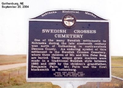
Photographed by Don Morfe, September 20, 2004
1. Swedish Crosses Cemetery Marker
Erected 1991 by Nebraska State Historical Society. (Marker Number 350.)
Topics and series. This historical marker is listed in these topic lists: Cemeteries & Burial Sites • Settlements & Settlers. In addition, it is included in the Nebraska State Historical Society series list. A significant historical year for this entry is 1885.
Location. 40° 58.407′ N, 100° 12.3′ W. Marker is near Gothenburg, Nebraska, in Dawson County. It is at the intersection of Local Route 769 and Local Route 409 on Local Route 769. Touch for map. Marker is at or near this postal address: 76901 County Rd 409, Gothenburg NE 69138, United States of America. Touch for directions.

Regionally, this marker
this page online
Other nearby markers. At least 7 other markers are within 12 miles of this marker, measured as the crow flies: The Road to Zion (approx. 3.7 miles away); Original Pony Express Station (approx. 3.7 miles away); The Pony Express (approx. 3.7 miles away); Dissected Loess Plains (approx. 3.7 miles away); Gothenburg (approx. 3.7 miles away); Dedicated to Sod House Settlers (approx. 4.3 miles away); Etna (approx. 11.6 miles away).
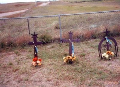
Photographed by Don Morfe, September 20, 2004
2. Swedish Crosses Cemetery Marker
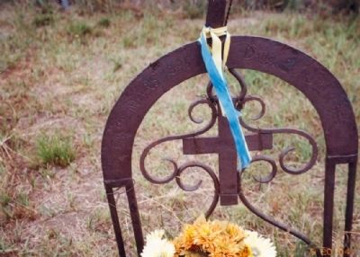
Photographed by Don Morfe, September 20, 2004
3. Swedish Crosses Cemetery Marker
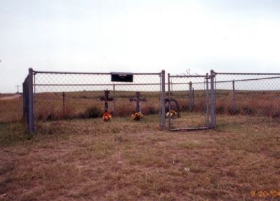
Photographed by Don Morfe, September 20, 2004
4. Swedish Crosses Cemetery Marker
Credits. This page was last revised on May 4, 2026. It was originally submitted on January 24, 2013, by Don Morfe of Baltimore, Maryland. This page has been viewed 1,058 times since then and 45 times this year. Last updated on May 3, 2026, by Susan Van Den Bosch of Almond, Wisconsin. Photos: 1, 2, 3, 4. submitted on January 24, 2013, by Don Morfe of Baltimore, Maryland. • Devry Becker Jones was the editor who published this page.
