North Aurora in Kane County, Illinois — The American Midwest (Great Lakes)
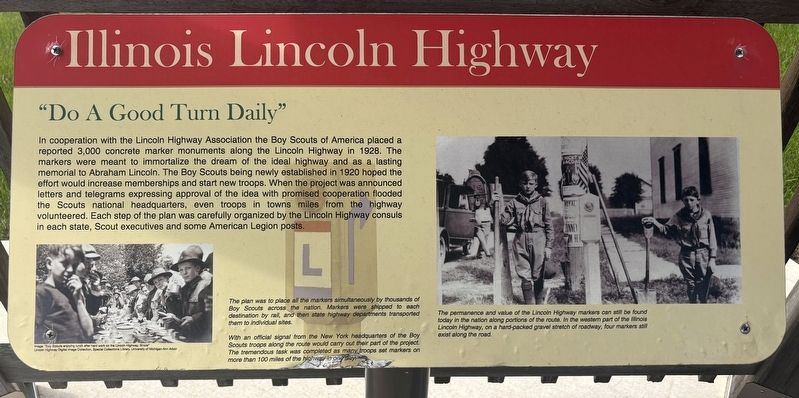
Illinois Lincoln Highway
"Do a Good Turn Daily"
Photographed by Sean P. Flynn, May 3, 2026
1. Illinois Lincoln Highway Marker
The plan was to place all the markers simultaneously by thousands of Boy Scouts across the nation. Markers were shipped to each destination by rail, and then state highway departments transported them to individual sites.
With an official signal from the New York headquarters of the Boy Scouts troops along the route would carry out their part of the project. The tremendous task was completed as many troops set markers on more than 100 miles of the highway in one day.
The permanence and value of the Lincoln Highway markers can still be found today in the nation along portions of the route. In the western part of the Illinois Lincoln Highway, on a hard-packed gravel stretch of roadway, four markers still exist along the road.
[Caption
this page online
Image: "Boy Scouts enjoying lunch after hard work on the Lincoln Highway, Illinois"
Erected by Illinois Lincoln Highway Coalition.
Topics and series. This historical marker is listed in these topic lists: Fraternal or Sororal Organizations • Roads & Vehicles. In addition, it is included in the Former U.S. Presidents: #16 Abraham Lincoln, and the Lincoln Highway series lists. A significant historical year for this entry is 1928.
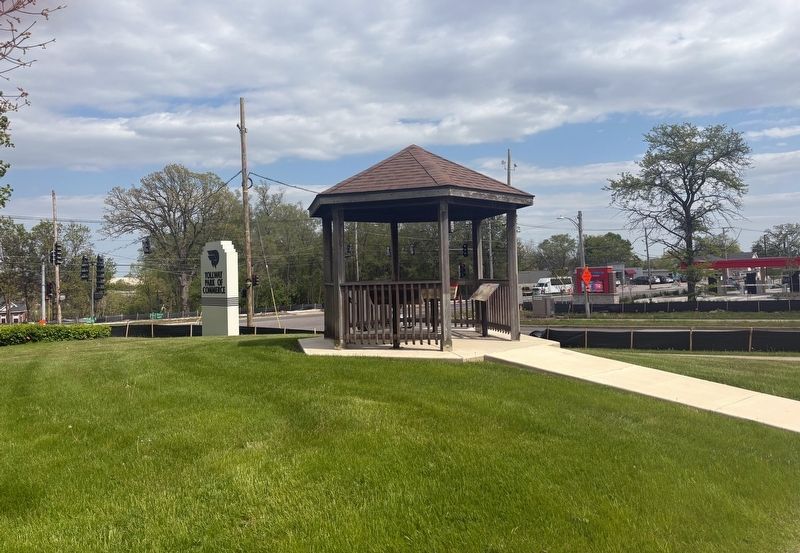
Location. 41° 47.911′ N, 88° 19.514′ W. Marker is in North Aurora, Illinois, in Kane County. It is at the intersection of Lincolnway Street (Illinois Route 31) and Airport Road, on the right when traveling south on Lincolnway Street. The marker is front of the North Aurora police station, in a gazebo near the "Tollway Park of Commerce" sign. Touch for map. Marker is at or near this postal address: 200 South Lincolnway Street, North Aurora IL 60542, United States of America. Touch for directions.

Regionally, this marker is in Greater Chicago. It is also in the American Midwest. Globally, it is in North America, on the Great Lakes, in the Western Hemisphere, in the Western
Photographed by Sean P. Flynn, May 3, 2026
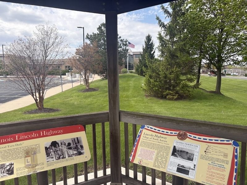
2. Two of the four Lincoln Highway, facing the North Aurora police station
Other nearby markers. At least 8 other markers are within 3 miles of this marker, measured as the crow flies: A different marker also named Illinois Lincoln Highway (a few steps from this marker); Lincoln Highway (a few steps from this marker); The Lincoln Highway - the nation’s first coast-to-coast highway! (a few steps from this marker); North Aurora (about 300 feet away, measured in a direct line); Exposition Park (about 300 feet away); Wilder Park (approx. 2½ miles away); Aurora Vietnam Veteran Memorial (approx. 2½ miles away); Memorial Bridge (approx. 2.8 miles away). Touch for a list and map of all markers in North Aurora.
More about this marker. The marker is one of four about the Lincoln Highway housed in a gazebo. Based on Google Street View archived photos, this gazebo was installed between in 2023 or 2024.
Regarding Illinois Lincoln Highway. The Lincoln Highway enters Illinois in Chicago's far southern suburbs, traveling west until it juts north-northwestward
Photographed by Sean P. Flynn, May 3, 2026
3. Lincoln Highway gazebo with four markers
Also see . . . Lincoln Highway Illinois official site. (Submitted on May 4, 2026, by Sean P. Flynn of Oak Park, Illinois.)
Credits. This page was last revised on May 5, 2026. It was originally submitted on May 3, 2026, by Sean P. Flynn of Oak Park, Illinois. This page has been viewed 30 times since then. Photos: 1. submitted on May 3, 2026, by Sean P. Flynn of Oak Park, Illinois. 2, 3. submitted on May 4, 2026, by Sean P. Flynn of Oak Park, Illinois.
