Aurora Township in North Aurora in Kane County, Illinois — The American Midwest (Great Lakes)
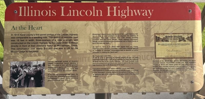
Illinois Lincoln Highway
At the Heart
Photographed by Sean P. Flynn, May 3, 2026
1. Illinois Lincoln Highway Marker
Informal half-length portrait of Governor Edward Fitzsimmons Dunne standing in front of a crowd of men, with the governor holding papers against one man's shoulder, while both unidentified men have their hands on a shovel in Mooseheart, Illinois.
At the time this photograph was taken, the governor was promoting the construction of new highways in Illinois. Dunne served as governor of Illinois from 1913-1917.
Mooseheart's desire to pave the section of the Lincoln Highway that ran in front of their children's home required the enlisting of volunteers. The lodge expected over 1,000 citizens including prominent state and county officials, Lincoln Highway Commission officials, as well as business and professional men of Kane County to join in the work day event.
On April 11, 1914, in an official letter signed from J.A. Young, Chairman of the Executive Committee. Loyal Order of Moose sent out an "invitation to volunteer encouraging men to become an active participant in creating this "good road."
Mr. Young says in his letter...
"It will be such a gathering of working people as has not been assembled before this. It will set an example for other like functions all along the line of the Lincoln Highway... We most cordially invite you to be present and contribute your share of work in the day's toil to help Governor Dunne lift Illinois out of the mud."
Instructions included as to what a volunteer would need were...
"The implements of labor will be a pair of overalls, a pick or a shovel, a good disposition, a hearty interest in the welfare of the country and an optimistic faith in the completion of this great work in the twentieth Century."
Members of the Moose from all over the country, the Illinois Governor Edward Fitzsimmons Dunne, and local legislators traveled to Illinois and helped grade the road using picks and shovels. Each volunteer received a one cent paycheck in the form of a certificate for their day's work. In appreciation for the efforts of the lodge, the state later paved an extra ten-foot strip, which is still visible today, in front of Mooseheart.
Topics and series.
this page online
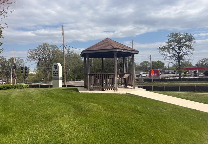
Location. 41° 47.918′ N, 88° 19.52′ W. Marker is in North Aurora, Illinois, in Kane County. It is in Aurora Township. It is at the intersection of Lincolnway Street and Airport Road, on the right when traveling south on Lincolnway Street. The marker is front of the North Aurora police station, in a gazebo near the "Tollway Park of Commerce" sign. Touch for map. Marker is at or near this postal address: 200 South Lincolnway Street, North Aurora IL 60542, United States of America. Touch for directions.

Regionally, this marker is in Greater Chicago. It is also in the American Midwest. Globally, it is in North America, on the Great Lakes, in the Western Hemisphere, in the Western World, and in the Anglosphere. Historically, it finds itself in what was once the territory of the Mississippian Culture and also the Northwest Territory.
Other nearby markers. At least 8 other markers
Photographed by Sean P. Flynn, May 3, 2026
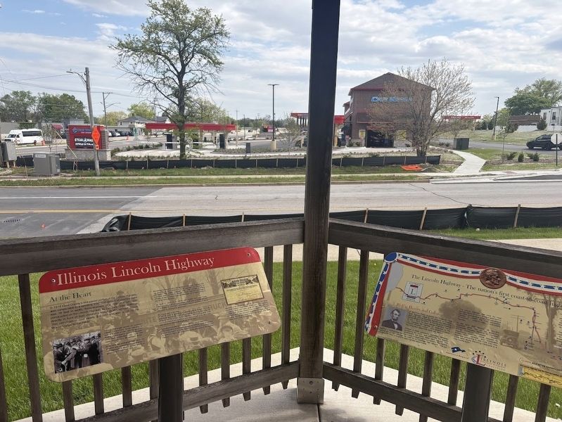
2. Two of the four Lincoln Highway markers in North Aurora, facing south
More about this marker. The marker is one of four about the Lincoln Highway housed in a gazebo. Based on Google Street View archived photos, this gazebo was installed between in 2023 or 2024.
Also see . . . Mooseheart: Our History.
Excerpt: "James J. Davis – who later would serve as Secretary of Labor to three Presidents, then 14 years in the U.S. Senate – agreed late in 1906 to take on the job of recruiting members into the then-faltering Moose organization, on the basis of eventually using members’ pooled resources to create a(Submitted on May 5, 2026, by Sean P. Flynn of Oak Park, Illinois.)home and school where dependent widows of Moose members could take their children."Photographed by Sean P. Flynn, May 3, 20263. Lincoln Highway gazebo with four markers
Chicago Daily News Collection, courtesy of Chicago History Museum (DN-0062641), April 15, 1914
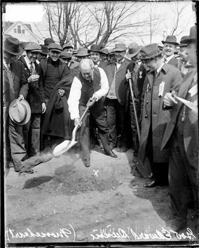
4. Gov. Dunne at the road paving near Mooseheart
Governor Edward Fitzsimmons Dunne, surrounded by several other local leaders, pitches dirt during road building near Mooseheart, promoting the construction of new highways in Illinois
Credits. This page was last revised on May 5, 2026. It was originally submitted on May 3, 2026, by Sean P. Flynn of Oak Park, Illinois. This page has been viewed 42 times since then. Photos: 1. submitted on May 3, 2026, by Sean P. Flynn of Oak Park, Illinois. 2. submitted on May 5, 2026, by Sean P. Flynn of Oak Park, Illinois. 3. submitted on May 4, 2026, by Sean P. Flynn of Oak Park, Illinois. 4. submitted on May 5, 2026, by Sean P. Flynn of Oak Park, Illinois.
