
Munster in Lake County, Indiana — The American Midwest (Great Lakes)
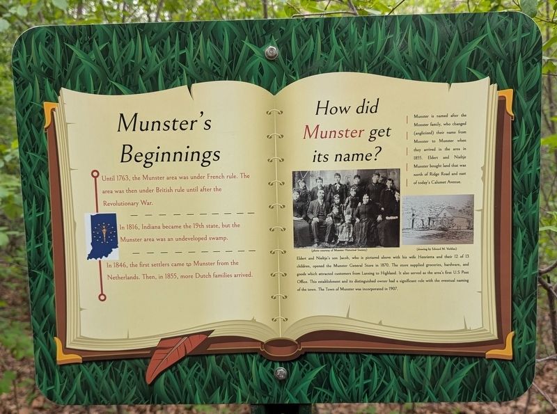
Munster's Beginnings
⎯⎯⎯
How did Munster get its name?
Photographed by Daniel Barriball, April 25, 2026
1. Munster's Beginnings / How did Munster get it's name? Marker
Munster's Beginnings
Until 1763, the Munster area was under French rule. The area was then under British rule until after the Revolutionary War.
In 1816, Indiana became the 19th state, but the Munster area was an undeveloped swamp.
In 1846, the first settlers came to Munster from the Netherlands. Then, in 1855, more Dutch families arrived.
How did Munster get its name?
Munster is named after the Monster family, who changed (anglicized) their name from Monster to Munster when they arrived in the area in 1855. Eldert and Nieltje Munster bought land that was north of Ridge Road and east of today's Calumet Avenue.
Eldert and Nieltje's son Jacob, who is pictured above with his wife Henrietta and their 12 of 13 children, opened the Munster General Store in 1870. The store supplied groceries, hardware, and goods which attracted customers from Lansing to Highland. It also served as the area's first U.S Post Office. This establishment and its distinguished owner had a significant role with the eventual naming of the town. The Town of Munster was incorporated in 1907.
Erected 2023 by Dorothy Lakshmanamurthy and the Munster
this page online
Topics. This historical marker is listed in these topic lists: Colonial Era • Industry & Commerce • Settlements & Settlers. A significant historical year for this entry is 1763.
Location. 41° 33.543′ N, 87° 29.975′ W. Marker is in Munster, Indiana, in Lake County. It can be reached from Ridge Road east of Columbia Avenue, on the right when traveling east. This marker stands along the trail in Heritage Park. Touch for map. Marker is at or near this postal address: 1154 Ridge Rd, Munster IN 46321, United States of America. Touch for directions.

Regionally, this marker is in Northwest Indiana and in the Calumet Region. It is also in the American Midwest and in the Corn Belt. Globally, it is in North America, on the Great Lakes, in the Western Hemisphere, in the Western World, and in the Anglosphere. Historically, it finds itself in what was once the territory of the Mississippian Culture and also the Northwest Territory.
Other nearby markers. At least 8 other markers are within walking distance of this marker: Brass Tavern / Kaske House (a few steps from this marker); Bieker Woods (within shouting
Photographed by Daniel Barriball, April 25, 2026
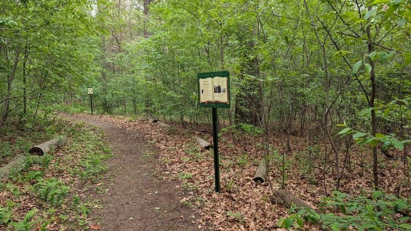
2. Munster's Beginnings / How did Munster get its name? Marker in context
The Brass Tavern/Kaske House marker is in the background just down the trail.
More about this marker. This marker is part of a series on the Bringing History Outside: A Munster History Trail Walk. It was created by Dorothy Lakshmanamurthy, Girl Scout and Munster Junior Historical Society member. This trail walk was her Girl Scout Gold Award project.
Credits. This page was last revised on May 4, 2026. It was originally submitted on May 3, 2026, by Daniel Barriball of Chesterton, Indiana. This page has been viewed 37 times since then. Photos: 1, 2. submitted on May 3, 2026, by Daniel Barriball of Chesterton, Indiana. • Devry Becker Jones was the editor who published this page.
