Floyd in Floyd County, Virginia — The American South (Mid-Atlantic)
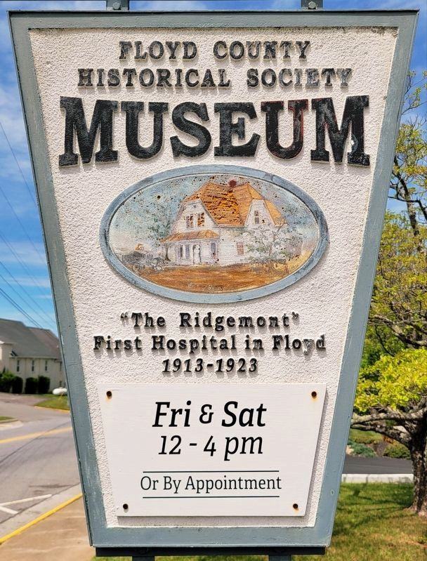
"The Ridgemont"
| — | Floyd County Historical Society Museum | — |
Photographed by C. Ryan Dodson, May 2, 2026
1. "The Ridgemont" Marker
First hospital in Floyd
1913 - 1923
Erected 2010 by Floyd County Historical Society.
Topics. This historical marker is listed in this topic list: Science & Medicine. A significant historical year for this entry is 1913.
Location. 36° 54.826′ N, 80° 19.239′ W. Marker is in Floyd, Virginia, in Floyd County. It is on North Locust Street (Virginia Route 8) south of Penn Avenue Northwest, on the right when traveling north. Touch for map. Marker is at or near this postal address: 217 North Locust Street, Floyd VA 24091, United States of America. Touch for directions.

Regionally, this marker is in Southwest Virginia and in the Blue Ridge Highlands. It is also in the American South, specifically in the Upper South, in Appalachia, and specifically in Southern Appalachia. Globally, it is in North America, the Western Hemisphere, the Western World, and the Anglosphere. Historically, it finds itself in what was once the territory of the Mississippian Culture, one of the original Thirteen Colonies, one of the Confederate States of America, and the Antebellum South.
Other nearby markers. At least
this page online
Also see . . . History of the Ridgemont. (Submitted on May 4, 2026, by C. Ryan Dodson of Danville, Virginia.)
Photographed by C. Ryan Dodson, May 2, 2026
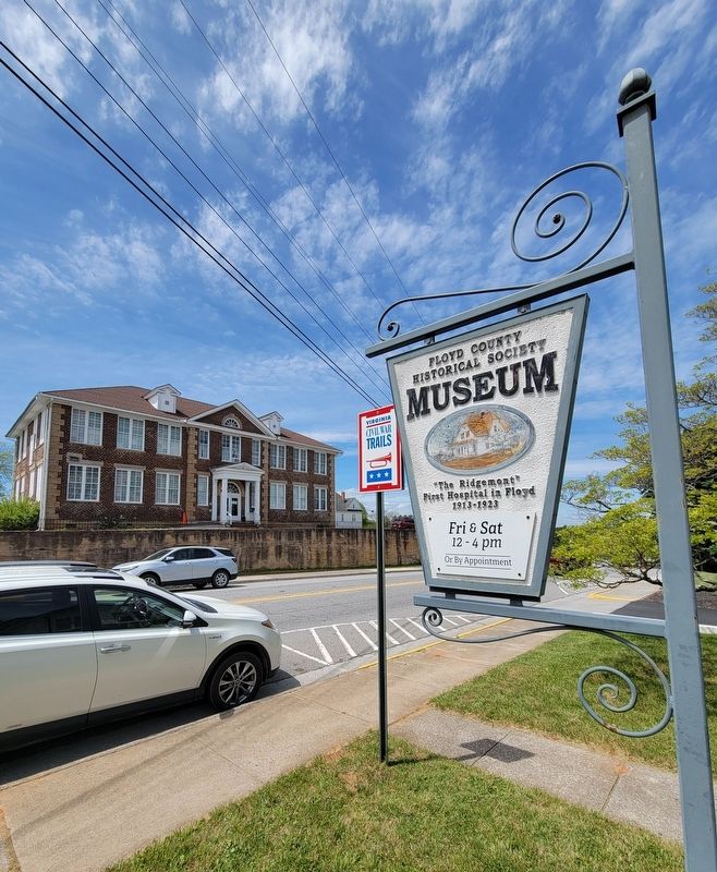
2. The Ridgemont Marker
Photographed by C. Ryan Dodson, May 2, 2026
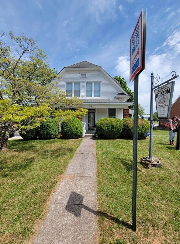
3. The Ridgemont
Photographed by C. Ryan Dodson, May 2, 2026
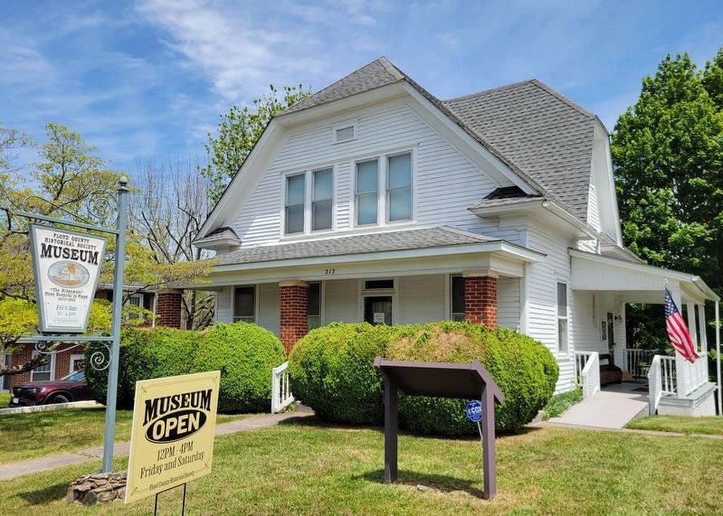
4. The Ridgemont
Credits. This page was last revised on May 8, 2026. It was originally submitted on May 3, 2026, by C. Ryan Dodson of Danville, Virginia. This page has been viewed 22 times since then. Photos: 1, 2, 3, 4. submitted on May 3, 2026, by C. Ryan Dodson of Danville, Virginia. • Devry Becker Jones was the editor who published this page.
