Union Mills in Carroll County, Maryland — The American Northeast (Mid-Atlantic)
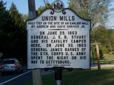
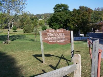
Union Mills
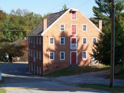
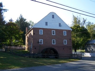
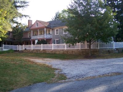
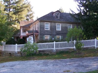
Built 1797 on the site of an earlier mill by Andrew and David Shriver Jr.
Erected by State Roads Commission.
Topics. This historical marker is listed in these topic lists: Industry & Commerce • War, US Civil. A significant historical month for this entry is June 1767.
Location. 39° 39.973′ N, 77° 1.008′ W. Marker is in Union Mills, Maryland, in Carroll County. Marker is on Littlestown Pike (Maryland Route 97) 0.1 miles south of Old Hanover Road, on the right when traveling north. Marker is in the community of Union Mills. Touch for map. Marker is at or near this postal address: 3331 Littlestown Pike, Westminster MD 21158, United States of America. Touch for directions.
Other nearby markers. At least 8 other markers are within 6 miles of this marker, measured as the crow flies. Defiance at Union Mills (about 300 feet away, measured in a direct line); Gettysburg Campaign (about 300 feet away); a different marker also named Union Mills (about 300 feet away); World War II Memorial (approx. 0.2 miles away); World War I Memorial (approx. 0.2 miles away); Pennsylvania (approx. 4.6 miles away in Pennsylvania); Just Government League (approx. 5.4 miles away); Who was Bennett Cerf? (approx. 5.9 miles away). Touch for a list and map of all markers in Union Mills.
Also see . . . Union Mills Homestead. Organization website (Submitted on October 17, 2007, by Bill Pfingsten of Bel Air, Maryland.)
Credits. This page was last revised on December 16, 2021. It was originally submitted on October 15, 2007, by Bill Pfingsten of Bel Air, Maryland. This page has been viewed 1,803 times since then and 22 times this year. Photos: 1, 2, 3, 4, 5, 6, 7. submitted on October 15, 2007, by Bill Pfingsten of Bel Air, Maryland. • J. J. Prats was the editor who published this page.
