Floyd in Floyd County, Virginia — The American South (Mid-Atlantic)
Last Cavalry Raid
Stoneman in Floyd County: "The Yankees are Coming!"
| — | Stoneman's Raid | — |
Photographed by C. Ryan Dodson, May 2, 2026
1. Last Cavalry Raid Marker
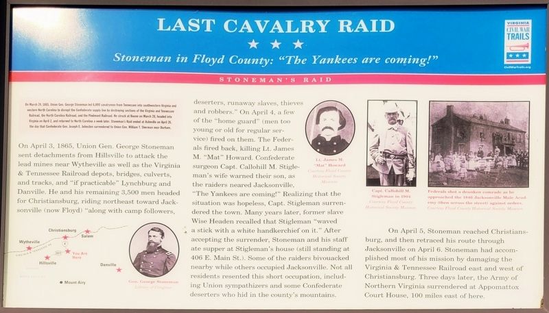
On April 3, 1865, Union Gen. George Stoneman sent detachments from Hillsville to attack the lead mines near Wytheville as well as the Virginia & Tennessee Railroad depots, bridges, culverts, and tracks, and "if practicable" Lynchburg and Danville. He and his remaining 3,500 men headed for Christiansburg, riding northeast toward Jacksonville (now Floyd) "along with camp followers, deserters, runaway slaves, thieves and robbers." On April 4, a few of the "home guard" (men too young or old for regular service) fired on them. The Federals fired back, killing Lt. James M. "Mat"
this page online
On April 5, Stoneman reached Christians-burg, and then retraced his route through Jacksonville on April 6. Stoneman had accomplished most of his mission by damaging the Virginia & Tennessee Railroad east and west of Christiansburg. Three days later, the Army of Northern Virginia surrendered at Appomattox Court House, 100 miles east of here.
(Captions)
Gen. George Stoneman Library of Congress
Lt James M. "Mat" Howard Courtesy Floyd County Historical Society Museum
Capt. Callohill M. Stigleman in 1904 Courtesy Floyd County Historical Society Museum
Federals shot a drunken comrade as he approached the 1846 Jacksonville Male Academy (then across the street) against orders. Courtesy Floyd County Historical Society Museum
Erected by Virginia
Photographed by C. Ryan Dodson, May 2, 2026
2. Last Cavalry Raid Marker
Topics and series. This historical marker is listed in these topic lists: Railroads & Streetcars • War, US Civil. In addition, it is included in the Virginia Civil War Trails series list. A significant historical date for this entry is April 3, 1865.
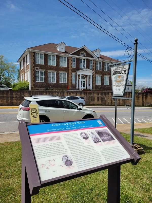
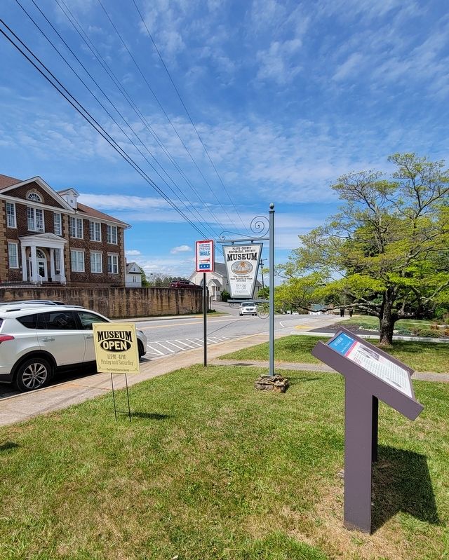
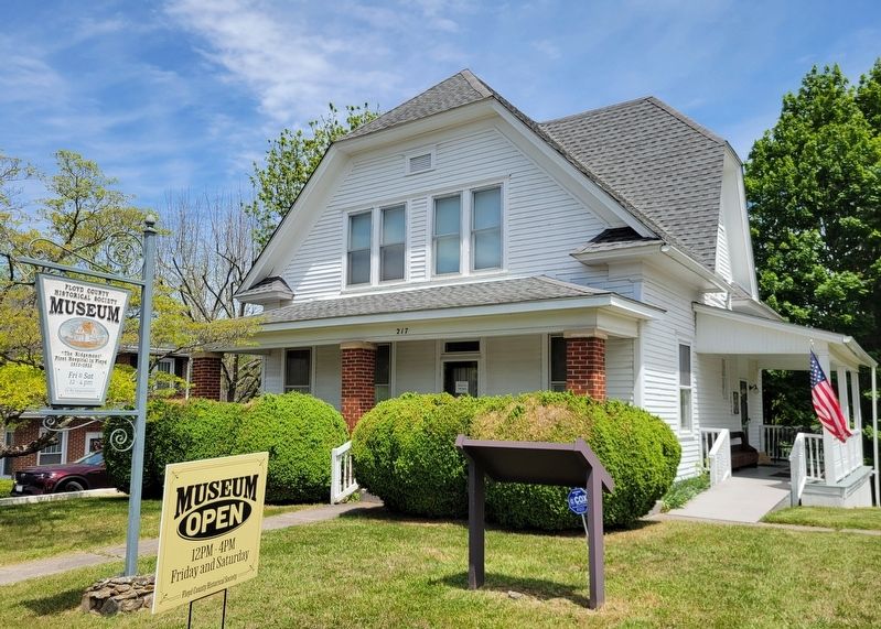
Location. 36° 54.825′ N, 80° 19.237′ W. Marker is in Floyd, Virginia, in Floyd County. It is on North Locust Street (Virginia Route 8) south of Penn Avenue NW, on the right when traveling north. Touch for map. Marker is at or near this postal address: 217 North Locust Street, Floyd VA 24091, United States of America. Touch for directions.

Regionally, this marker is in Southwest Virginia and in the Blue Ridge Highlands. It is also in the American South, specifically in the Upper South, in Appalachia, and specifically in Southern Appalachia. Globally, it is in North America, the Western Hemisphere, the Western World, and the Anglosphere. Historically, it finds itself in what was once the territory of the Mississippian Culture, one of the original Thirteen Colonies, one of the Confederate States of America, and the Antebellum South.
Other nearby markers. At least
Photographed by C. Ryan Dodson, May 2, 2026
3. Last Cavalry Raid Marker
Photographed by C. Ryan Dodson, May 2, 2026
4. Last Cavalry Raid Marker
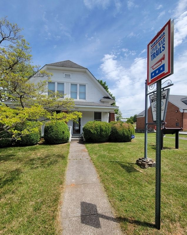
Photographed by C. Ryan Dodson, May 2, 2026
5. Last Cavalry Raid Marker
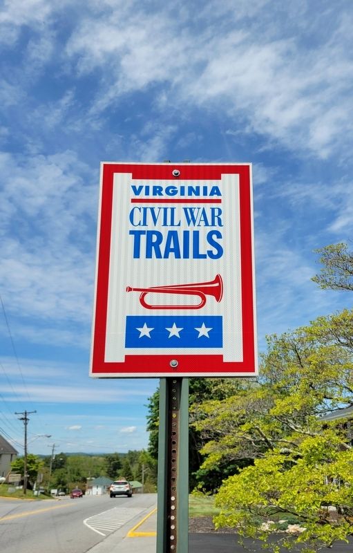
Photographed by C. Ryan Dodson, May 2, 2026
6. Civil War Trails Sign
Credits. This page was last revised on May 4, 2026. It was originally submitted on May 4, 2026, by C. Ryan Dodson of Danville, Virginia. This page has been viewed 37 times since then. Photos: 1, 2, 3, 4, 5, 6. submitted on May 4, 2026, by C. Ryan Dodson of Danville, Virginia. • Bernard Fisher was the editor who published this page.
