
Munster in Lake County, Indiana — The American Midwest (Great Lakes)
Bieker Woods
Photographed by Daniel Barriball, April 25, 2026
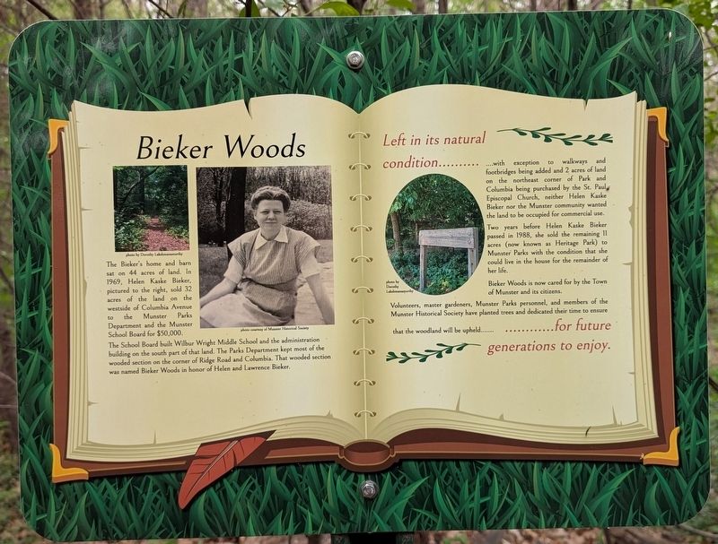
1. Bieker Woods Marker
The Bieker's home and barn sat on 44 acres of land. In 1969, Helen Kaske Bieker, pictured to the right, sold 32 acres of the land on the westside of Columbia Avenue to the Munster Parks Department and the Munster School Board for $50,000.
The School Board built Wilbur Wright Middle School and the administration building on the south part of that land. The Parks Department kept most of the wooded section on the corner of Ridge Road and Columbia. That wooded section was named Bieker Woods in honor of Helen and Lawrence Bieker.
Left in its natural condition…with exception to walkways and footbridges being added and 2 acres of land on the northeast corner of Park and Columbia being purchased by the St. Paul Episcopal Church, neither Helen Kaske Bieker nor the Munster community wanted the land to be occupied for commercial use.
Two years before Helen Kaske Bieker passed in 1988, she sold the remaining 11 acres (now known as Heritage Park) to Munster Parks with the condition that she could live in the house for the remainder of her life.
Biecker Woods is now cared for by the Town of Munster and its citizens.
Volunteers,
this page online
Erected 2023 by Dorothy Lakshmanamurthy and the Munster Historical Society.
Topics. This historical marker is listed in these topic lists: Education • Horticulture & Forestry • Parks & Recreational Areas. A significant historical year for this entry is 1969.
Location. 41° 33.554′ N, 87° 29.956′ W. Marker is in Munster, Indiana, in Lake County. It can be reached from Ridge Road east of Columbia Avenue, on the right when traveling east. This marker stands along the trail in Heritage Park. Touch for map. Marker is at or near this postal address: 1154 Ridge Rd, Munster IN 46321, United States of America. Touch for directions.

Regionally, this marker is in Northwest Indiana and in the Calumet Region. It is also in the American Midwest and in the Corn Belt. Globally, it is in North America, on the Great Lakes, in the Western Hemisphere, in the Western World, and in the Anglosphere. Historically, it finds itself
Photographed by Daniel Barriball, April 25, 2026
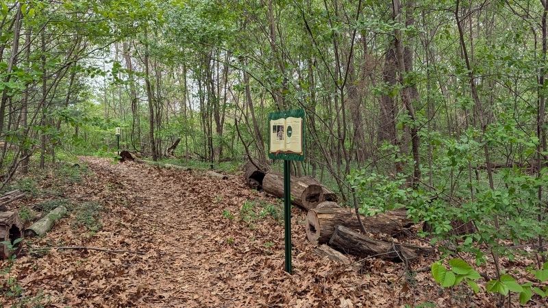
2. Bieker Woods Marker in context
Other nearby markers. At least 8 other markers are within walking distance of this marker: Schools / Police Department / Fire Department / Hospitals (a few steps from this marker); Brass Tavern / Kaske House (a few steps from this marker); Munster Herstory (within shouting distance of this marker); Munster's Beginnings / How did Munster get its name? (within shouting distance of this marker); A Blooming Town (within shouting distance of this marker); The power of the wind has been used to pump water for hundreds of years. (within shouting distance of this marker); Native Plants of Heritage Park & Bieker Woods (within shouting distance of this marker); Pollinators at Heritage Park (about 300 feet away, measured in a direct line). Touch for a list and map of all markers in Munster.
More about this marker. This marker is part of a series on the Bringing History Outside: A Munster History Trail Walk. It was created by Dorothy Lakshmanamurthy, Girl Scout and Munster Junior Historical Society member. This trail walk was her Girl Scout Gold Award project.
Credits. This page was last revised on May 5, 2026. It was originally submitted on May 4, 2026, by Daniel Barriball of Chesterton, Indiana. This page has been viewed 18 times since then. Photos: 1, 2. submitted on May 4, 2026, by Daniel Barriball of Chesterton, Indiana. • Devry Becker Jones was the editor who published this page.
