Florien in Sabine Parish, Louisiana — The American South (West South Central)
Free State of Sabine
No Man's Land
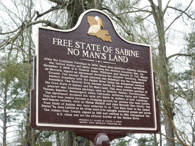
Photographed by Jimmy Emerson, Feb 2025
1. Free State of Sabine Marker
After the Louisiana Purchase in 1804, there were territory disputes between the United States and Spain regarding the western boundary line. On November 5, 1806, U. S. General James Wilkinson and Spanish Lt. Col. Simon de Herrera, signed an agreement declaring the disputed territory, Neutral Ground. The Arroyo Hondo (present day Robeline) was the designated eastern boundary with the Sabine River being the designated western boundary. The Neutral Strip became known by many names including the Free State of Sabine and No Man's Land. This area included portions of present-day Louisiana parishes, such as DeSoto; Sabine; Natchitoches; Vernon; Rapides; Beauregard; Allen; Calcasieu; Jefferson Davis; and Cameron. The agreement declared the area off-limits to soldiers of both countries. This law-less region became a stomping ground for pirates like Jean Lafitte and famous outlaws, such as Hiram Midkiff and John Murrell (Rev. Devil). The Free State of Sabine was once referred to as "The Back Door to the United States" by Jean Lafitte as he often used it to smuggle enslaved people and goods. The Adams-Onis Treaty, signed
this page online
Erected 2024 by Village of Florien and Sabine Neutral Strip Historical Foundation, Inc.
Topics. This historical marker is listed in these topic lists: Exploration • Waterways & Vessels. A significant historical year for this entry is 1806.
Location. 31° 26.589′ N, 93° 27.466′ W. Marker is in Florien, Louisiana, in Sabine Parish. It is on North Nolan Trce (U.S. 171) south of W Port Arthur Ave, on the right when traveling south. Touch for map. Marker is at or near this postal address: 112 N Nolan Trce, Florien LA 71429, United States of America. Touch for directions.

Regionally, this marker is in Central Louisiana. It is also in the American South, specifically in the Deep South, and in the Piney Woods. Globally, it is in North America, a Gulf of Mexico state, the Western Hemisphere, the Western World, and the Anglosphere. Historically, it finds itself in what was once New Spain, the territory of the Mississippian Culture, the Louisiana Purchase, one of the Confederate States of America, and the Antebellum South.
Other nearby markers. At least 8 other markers are within 9 miles of this marker, measured as the crow flies: Village of Fisher (approx. 3½ miles away); Kansas City Southern Railway Depot (approx. 8½ miles away); First Lieutenant Floyd J. Giblin (approx. 8.6 miles away); Duty • Honor • Country (approx. 8.8 miles away); Baldwin's Store (approx. 8.8 miles away); St. John the Baptist Catholic Church (approx. 8.8 miles away); The Sabine Index (approx. 8.8 miles away); Hornbeck, Louisiana (approx. 8.8 miles away).
More about this marker. Marker was installed August 31, 2024
Credits. This page was last revised on May 4, 2026. It was originally submitted on May 4, 2026, by Jimmy Emerson of Dalton, Georgia. This page has been viewed 28 times since then. Photo 1. submitted on May 4, 2026, by Jimmy Emerson of Dalton, Georgia. • James Hulse was the editor who published this page.
Editor’s want-list for this marker. A wide view photo of the marker and the surrounding area together in context. • Can you help?
