
Gold Hill in Rowan County, North Carolina — The American South (South Atlantic)
The 19th Century View from the Miller Shaft
Photographed by Mark Parker, April 25, 2026
1. The 19th Century View from the Miller Shaft Marker
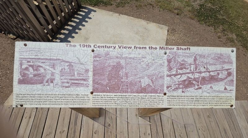
Overview of the Gold Hill Mine: Barnardt, Shaft, Smelrer and Eames Stamp Mill. Photo was taken circa 1880,The Headframe of the Barnhardt Shaft is pictured in the distance, near the center of the photo, between the smelter on the right and the stamp mill on the left. The shaft can be seen today and is located just beyond the amphítheater staged by the chain link fence. Further in the distance is Main Street, (now St. Stephens Church Road) and the Village of Gold Hill. The Barnhardt Mine was dug in September 1842. Col. George-Barnhardt was the son-in-law of John Reed of Reed Gold Minel, now a NC State Historic Site.
Log Rockers were used at Gold Hill from
this page online
Topics. This historical marker is listed in these topic lists: Industry & Commerce • Women. A significant historical year for this entry is 1824.
Location. 35° 30.674′ N, 80° 20.69′ W. Marker is in Gold Hill, North Carolina, in Rowan County. It can be reached from Saint Stephens Church Road 0.2 miles north of Old Beatty Ford Road, on the right when traveling north. Loacted at Gold Hill Mines Historic Park. Touch for map. Marker is at or near this postal address: 755 St Stephens Church Rd, Gold Hill NC 28071, United States of America. Touch for directions.

Regionally, this marker is in North Carolina’s Piedmont. It is also in the American South and specifically in the Upper South.
Photographed by Mark Parker, April 25, 2026
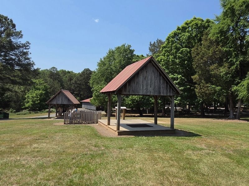
2. Marker is on the platform at the shelter over the former mine
Other nearby markers. At least 8 other markers are within walking distance of this marker: Chilean Ore Mill (within shouting distance of this marker); Russell-Rufty Shelter (within shouting distance of this marker); Gold Hill Jail & English Dry-Stack Rock Wall (within shouting distance of this marker); Gold Hill, North Carolina Est. 1843 (about 300 feet away, measured in a direct line); The Village of Gold Hill (about 400 feet away); Gold Hill Mining District (about 400 feet away); The Barnhardt Shaft (about 400 feet away); Gold Hill Methodist Church Bell (about 400 feet away). Touch for a list and map of all markers in Gold Hill.
Also see . . . Historic Gold Hill. (Submitted on May 6, 2026.)
Photographed by Mark Parker, April 25, 2026
3. The 19th Century View from the Miller Shaft Marker
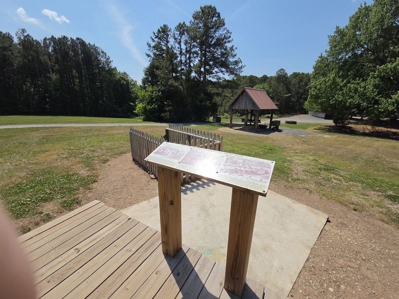
Overlooking the mine entrance at the wooden fence
Photographed by Mark Parker, April 25, 2026
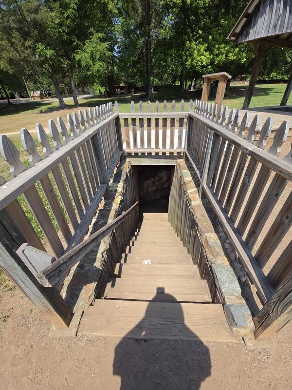
4. Steps into the Miller Shaft
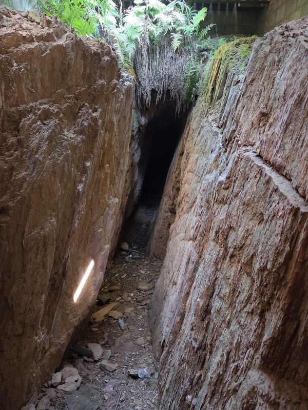
Photographed by Mark Parker, April 25, 2026
5. Miller Shaft
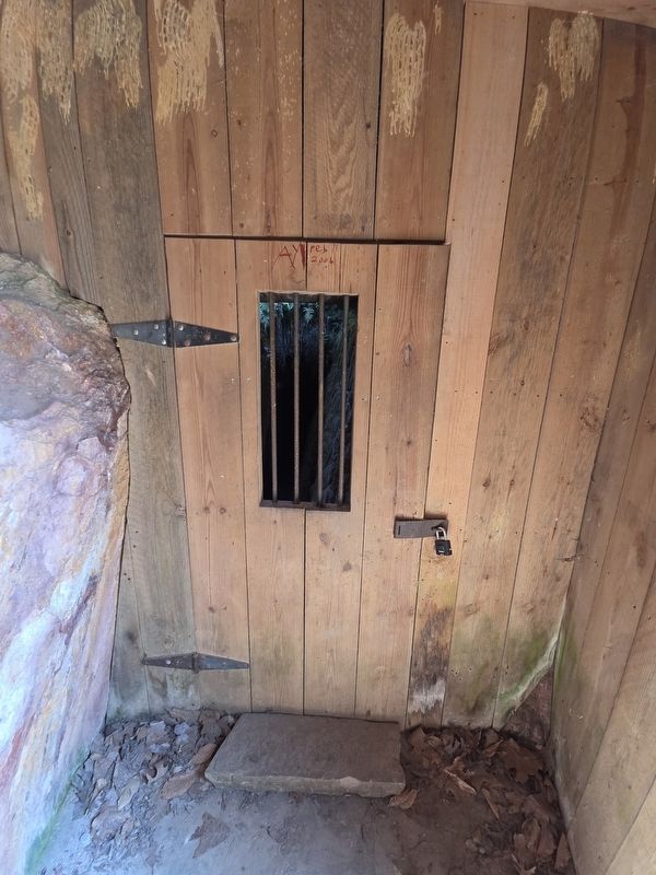
Photographed by Mark Parker, April 25, 2026
6. Miller Shaft entrance
Credits. This page was last revised on May 6, 2026. It was originally submitted on May 6, 2026, by Mark Parker of Hickory, North Carolina. This page has been viewed 11 times since then. Photos: 1, 2, 3, 4, 5, 6. submitted on May 6, 2026, by Mark Parker of Hickory, North Carolina. • Bernard Fisher was the editor who published this page.
