Anchor Point in Kenai Peninsula Borough, Alaska — Northwest (North America)
Anchor Point Alaska
Photographed by Mercedes Prado, 2026
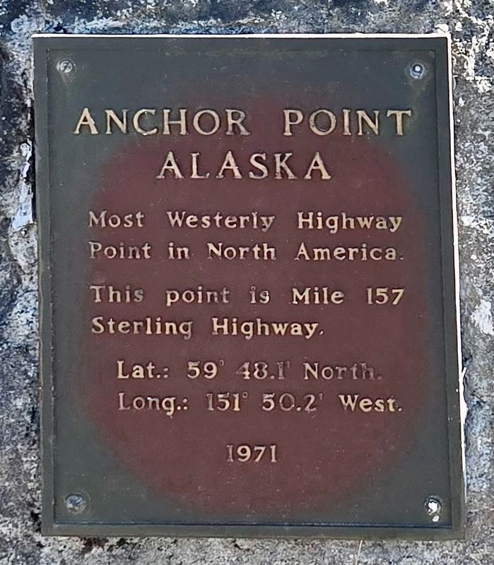
1. Anchor Point Alaska Marker
Most Westerly Highway Point in North America.
This point is Mile 157
Sterling Highway.
Lat.: 59° 48.1' North.
Long.: 151° 50.2' West.
1971
Topics. This historical marker is listed in this topic list: Roads & Vehicles. A significant historical year for this entry is 1971.
Location. 59° 46.535′ N, 151° 49.983′ W. Marker is in Anchor Point, Alaska, in Kenai Peninsula Borough. It is at the intersection of Old Sterling Highway and Sterling Highway (Alaska Route 1) on Old Sterling Highway. Located at the south end of town, near the parking lot of a restaurant. Touch for map. Marker is at or near this postal address: 34358 Old Sterling Hwy, Anchor Point AK 99556, United States of America. Touch for directions.

Regionally, this marker is in the Alaska Railroad Corridor, in the Alutiiq (Sugpiaq) Region, in the Athabascan Region, in the Prince William Sound, and in Southcentral Alaska. It is also on the American Pacific Coast. Globally, it is in North America, on the Ring of Fire, on the Pacific Rim, in the Western Hemisphere, in the Western World, and in the Anglosphere. Historically, it finds itself
this page online
More about this marker. The Most Westerly Highway Point is located 1¾ miles north of this marker.
Anchor Point is a community with a population of over 2,000. The name comes from a legend that when Captain James Cook discovered the area, he lost an anchor.
Regarding Anchor Point Alaska. This is the westernmost point accessible by a continuous highway system.
The Sterling Highway is a 138-mile-long state highway in the south-central region of Alaska, leading from the Seward Highway at Tern Lake Junction, 90 miles south of Anchorage, to Homer. To assist in agricultural transport and also open areas to tourism, work began on the Sterling Highway in 1946 to connect the Kenai Peninsula agricultural area with Seward. The highway opened in 1950 and was paved in 1958. This highway, now part of Alaska Route 1, honors Hawley W. Sterling, who served as assistant chief engineer from 1932 until his death in 1948.
Photographed by Mercedes Prado, 2026
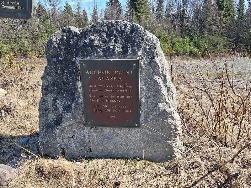
2. Anchor Point Alaska Marker
Photographed by Mercedes Prado, 2026
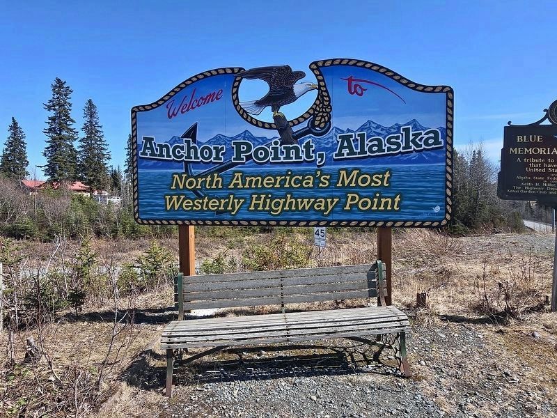
3. Anchor Point Alaska Marker
Photographed by Mercedes Prado, 2026
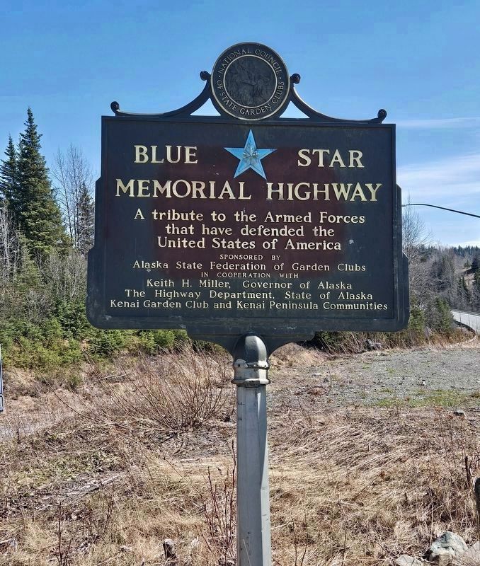
4. Anchor Point Veterans Memorial
Credits. This page was last revised on May 10, 2026. It was originally submitted on May 6, 2026, by Craig Baker of Sylmar, California. This page has been viewed 33 times since then. Photos: 1, 2, 3, 4. submitted on May 6, 2026, by Craig Baker of Sylmar, California.
