
Vineland in Lincoln in Niagara Region, Ontario — Central Canada (North America)
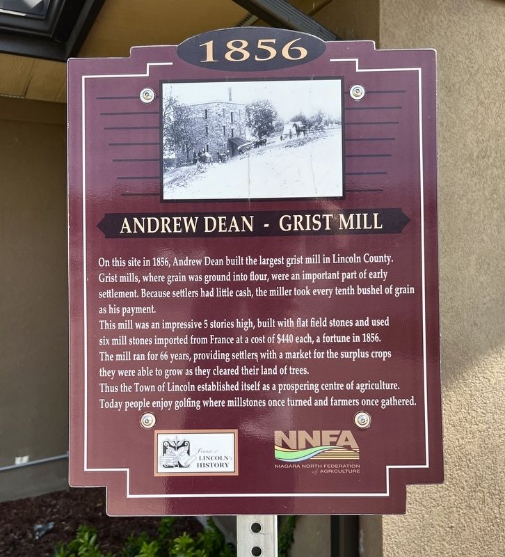
Andrew Dean - Grist Mill
1856
Photographed by Tim Boyd, May 4, 2026
1. Andrew Dean - Grist Mill Marker
This mill was an impressive 5 stories high, built with flat field stones and used six mill stones imported from France at a cost of $440 each, a fortune in 1856. The mill ran for 66 years, providing settler, with a market for the surplus crops they were able to grow as they cleared their land of trees.
Thus the Town of Lincoln established itself as a prospering centre of agriculture. Today people enjoy golfing where millstones once turned and farmers once gathered.
Erected by Town of Lincoln.
Topics. This historical marker is listed in these topic lists: Agriculture • Industry & Commerce. A significant historical year for this entry is 1856.
Location. 43° 7.25′ N, 79° 24.823′ W. Marker is in Lincoln, Ontario, in Niagara Region. It is in Vineland. It is on Yonge Street 0.1 kilometers south of Cherry Avenue, on the left when traveling south. Touch for map.
this page online

Regionally, this marker is on Ontario’s Golden Horseshoe and in Niagara Canada. It is also in Central Canada. Globally, it is in North America, on the Great Lakes, in the Western Hemisphere, in the Western World, and in the Anglosphere. Historically, it finds itself in what was once a British colony, the Viceroyalty of New France, the Haudenosaunee (Iroquois) Confederacy, and Rupert’s Land.
Other nearby markers. At least 8 other markers are within 3 kilometers of this marker, measured as the crow flies: Mountain Mennonite Church And Cemetery - Circa 1843 (approx. 1.8 kilometers away); Mountain Mennonite Cemetery Circa 1843 (approx. 1.8 kilometers away); Campden Public School 1875 - 2013 (approx. 2.1 kilometers away); Campden Trinity Evangelical United Brethren Church and Campden Public School (approx. 2.1 kilometers away); Campden Trinity Evangelical United Brethern Church 1872 - 2006 (approx. 2.1 kilometers away); Ford (approx. 2.1 kilometers away); H.W. Moyer-Humphrey House Circa 1870 (approx. 2.3
Photographed by Tim Boyd, May 4, 2026
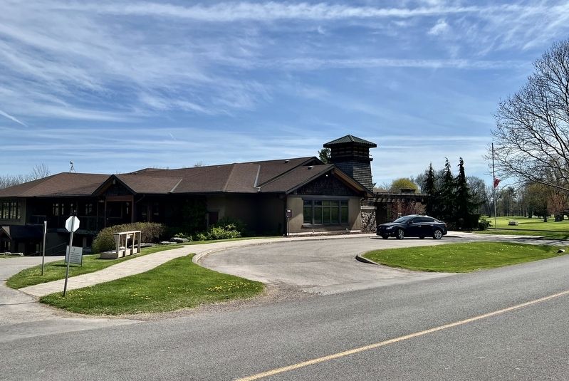
2. Andrew Dean - Grist Mill Marker
Centre of photo
Credits. This page was last revised on May 7, 2026. It was originally submitted on May 7, 2026, by Tim Boyd of Hamilton, Ontario. This page has been viewed 23 times since then. Photos: 1, 2. submitted on May 7, 2026, by Tim Boyd of Hamilton, Ontario. • Andrew Ruppenstein was the editor who published this page.
