Butts Station in Chesapeake, Virginia — The American South (Mid-Atlantic)
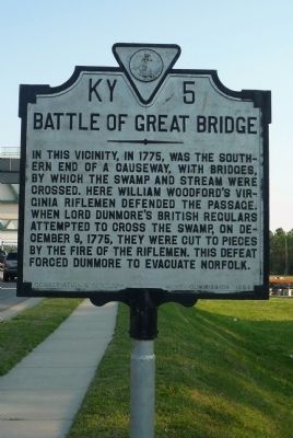
Battle of Great Bridge
Erected 1934 by Conservation & Development Commission. (Marker Number KY-5.)
Topics and series. This historical marker is listed in these topic lists: African Americans • Bridges & Viaducts • Colonial Era • Military • Notable Places • War, US Revolutionary. In addition, it is included in the Virginia Department of Historic Resources (DHR) series list. A significant historical date for this entry is December 9, 1775.
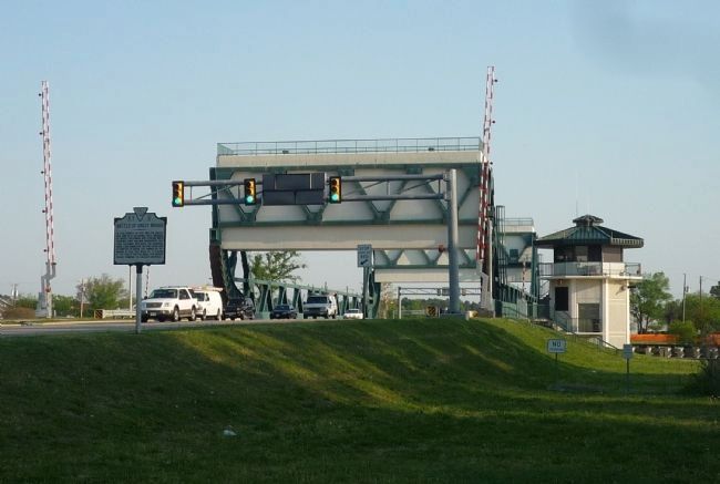
Location. 36° 43.218′ N, 76° 14.375′ W. Marker is in Chesapeake, Virginia. It is in Butts Station. Marker is on Battlefield Boulevard South (Virginia Route 168) north of Albermarle Drive, on the right when traveling north. Marker is in the City of Chesapeake's Great Bridge community. It is west and south of the Chesapeake Expressway/Great Bridge Bypass (VA 168) via Battlefield Blvd, North. Touch for map. Marker is in this post office area: Chesapeake VA 23322, United States of America. Touch for directions.
Other nearby markers. At least 8 other markers are within walking distance of this marker. Planning a Canal (about 300 feet away, measured in a direct line); The Marshall Family (about 300 feet away); Battle of Great Bridge DAR Monument (about 400 feet away); Great Bridge Marshall Memorial (about 400 feet away); Billy Flora (about 400 feet away); Father & Son Canal Builders (about 500 feet away); Civil War Anchor (about 500 feet away); The Day is Our Own! (about 500 feet away). Touch for a list and map of all markers in Chesapeake.
Related marker. Click here for another marker that is related to this marker. To better understand the relationship, study each marker in the order shown.
Also see . . .
1. Battle of Great Bridge. (Submitted on April 19, 2010, by Richard E. Miller of Oxon Hill, Maryland.)
2. Great Bridge Battlefield History. (Submitted on April 19, 2010, by Richard E. Miller of Oxon Hill, Maryland.)
3. Lord Dunmore's Ethiopian Regiment. (Submitted on April 19, 2010, by Richard E. Miller of Oxon Hill, Maryland.)
4. John Murray, 4th Earl of Dunmore. (Submitted on April 19, 2010, by Richard E. Miller of Oxon Hill, Maryland.)
5. William Woodford. (Submitted on April 19, 2010, by Richard E. Miller of Oxon Hill, Maryland.)
Additional keywords. Elizabeth River; Dismal Swamp; Fort Murray; Governor John Murray, Earl of Dunmore; Black Loyalists;
Ethiopian Regiment.

Photographed By Richard E. Miller, April 16, 2010
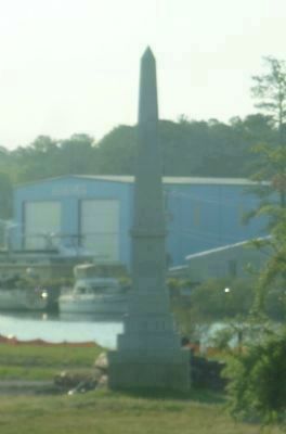
3. Battle of Great Bridge Patriot's Monument
In the Spring of 2007, the Daughters of the American Revolution sponsored the erection of this large stone monument to the Patriot soldiers of the Battle on the future site of the Great Bridge Battlefield & Waterways History Museum. On the north side of the river, it is accessible from Battlefield Boulevard and the Intracoastal Waterway.
Credits. This page was last revised on February 1, 2023. It was originally submitted on April 19, 2010, by Richard E. Miller of Oxon Hill, Maryland. This page has been viewed 3,758 times since then and 44 times this year. Photos: 1, 2, 3. submitted on April 19, 2010, by Richard E. Miller of Oxon Hill, Maryland. • Bill Pfingsten was the editor who published this page.

