Vineland Station in Lincoln in Niagara Region, Ontario — Central Canada (North America)
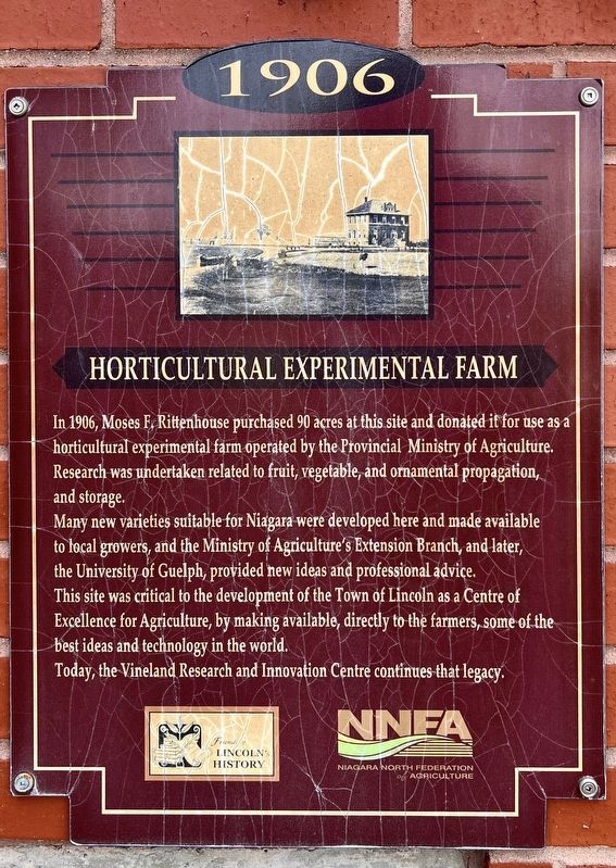
Horticultural Experimental Farm
1906
Photographed by Tim Boyd, May 4, 2026
1. Horticultural Experimental Farm Marker
Many new varieties suitable for Niagara were developed here and made available to local growers, and the Ministry of Agriculture's Extension Branch, and later, the University of Guelph, provided new ideas and professional advice. This site was critical to the developrent of the Town of Lincoln as a Centre of Excellence for Agriculture, by making available, directly to the farmers, some of the best ideas and technology in the world.
Today, the Vineland Research and Innovation Centre continues that legacy.
Erected by Town of Lincoln.
Topics. This historical marker is listed in these topic lists: Agriculture • Horticulture & Forestry. A significant historical year for this entry is 1906.
Location. 43° 11.381′ N, 79° 23.773′ W. Marker is in Lincoln, Ontario, in Niagara Region. It is in Vineland Station. It is on Vinedale Avenue 0.2 kilometers north
this page online

Regionally, this marker is on Ontario’s Golden Horseshoe and in Niagara Canada. It is also in Central Canada. Globally, it is in North America, on the Great Lakes, in the Western Hemisphere, in the Western World, and in the Anglosphere. Historically, it finds itself in what was once a British colony, the Viceroyalty of New France, the Haudenosaunee (Iroquois) Confederacy, and Rupert’s Land.
Other nearby markers. At least 8 other markers are within 5 kilometers of this marker, measured as the crow flies: Moses Franklin Rittenhouse 1848-1915 (a few steps from this marker); Moyer Wharf (approx. 1.4 kilometers away); Jordan Train Station, circa 1913 (approx. 3.9 kilometers away); Mennonite Burying Ground circa 1798 (approx. 4 kilometers away); Mennonite Conscientious Objectors, 1812 - 1814 (approx. 4 kilometers away); Mennonite Bicentennial 1786-1986
Photographed by Tim Boyd, May 4, 2026
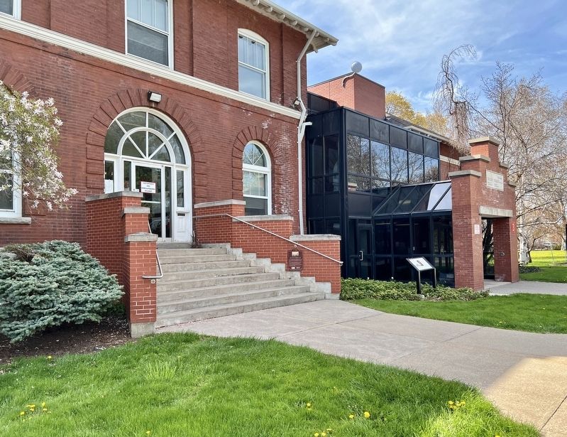
2. Horticultural Experimental Farm Marker
Centre of photo, on the steps
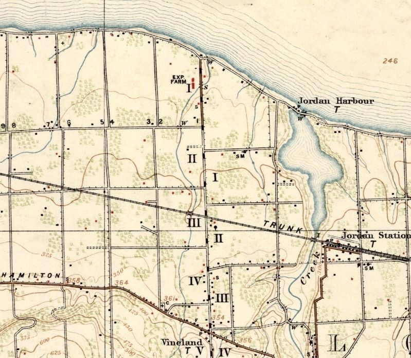
3. The Experimental Farm (top centre), 1915 topographical map
Public domain
Photographed by Tim Boyd, May 4, 2026
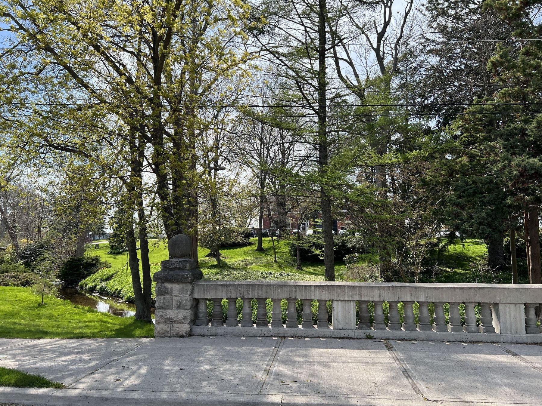
4. The Ontario Government Building of the Horticultural Experimental Farm, 2026
Background, from Victoria ave. North.
Credits. This page was last revised on May 9, 2026. It was originally submitted on May 8, 2026, by Tim Boyd of Hamilton, Ontario. This page has been viewed 13 times since then. Photos: 1, 2, 3, 4. submitted on May 8, 2026, by Tim Boyd of Hamilton, Ontario. • Andrew Ruppenstein was the editor who published this page.
