Beamsville in Lincoln in Niagara Region, Ontario — Central Canada (North America)
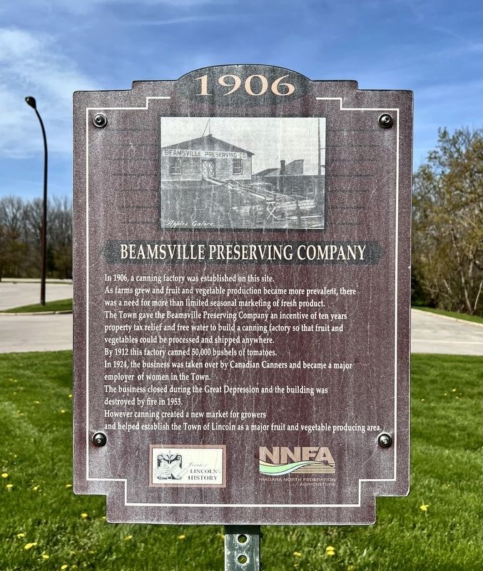
Beamsville Preserving Compnay
1906
Photographed by Tim Boyd, May 4, 2026
1. Beamsville Preserving Compnay Marker
As farms grew and fruit and vegetable production became more prevalent, there was a need for more than limited seasonal marketing of fresh product.
The Town gave the Beamsville Preserving Company an incentive of ten years property tax relief and free water to build a canning factory so that fruit and vegetables could be processed and shipped anywhere.
By 1912 this factory canned 50,000 bushels of tomatoes.
In 1924, the business was taken over by Canadian Canners and became a major employer of women in the Town.
The business closed during the Great Depression and the building was destroyed by fire in 1953.
However canning created a new market for growers and helped establish the Town of Lincoln as a major fruit and vegetable producing area.
Erected by Niagara North Federation of Agriculture.
Topics. This historical marker is listed in these topic lists: Agriculture • Industry & Commerce. A significant historical year for this entry is 1906.
Location. 43° 9.78′ N, 79° 28.095′ W. Marker is in Lincoln, Ontario, in Niagara Region. It is in Beamsville. It
this page online

Regionally, this marker is on Ontario’s Golden Horseshoe and in Niagara Canada. It is also in Central Canada. Globally, it is in North America, on the Great Lakes, in the Western Hemisphere, in the Western World, and in the Anglosphere. Historically, it finds itself in what was once a British colony, the Viceroyalty of New France, the Haudenosaunee (Iroquois) Confederacy, and Rupert’s Land.
Other nearby markers. At least 8 other markers are within walking distance of this marker: 1909 Basket Factory (approx. half a kilometer away); Vosburgh Blacksmith Shop 1866 (approx. 0.6 kilometers away); Clinton Township Hall 1851 (approx. 0.6 kilometers away); Jacob Beam Mill Stone (approx. 0.6 kilometers away); George Herbert Locke (approx. 0.6 kilometers away); Beamsville High School (approx. 0.7 kilometers away); Beamsville High School 1917 (approx. 0.7 kilometers
Photographed by Tim Boyd, June 4, 2026
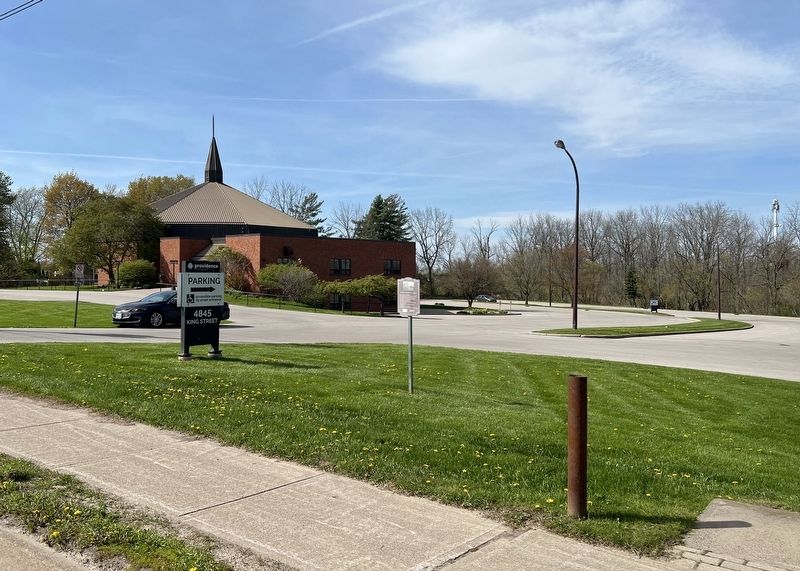
2. Beamsville Preserving Compnay Marker
Facing north on King street
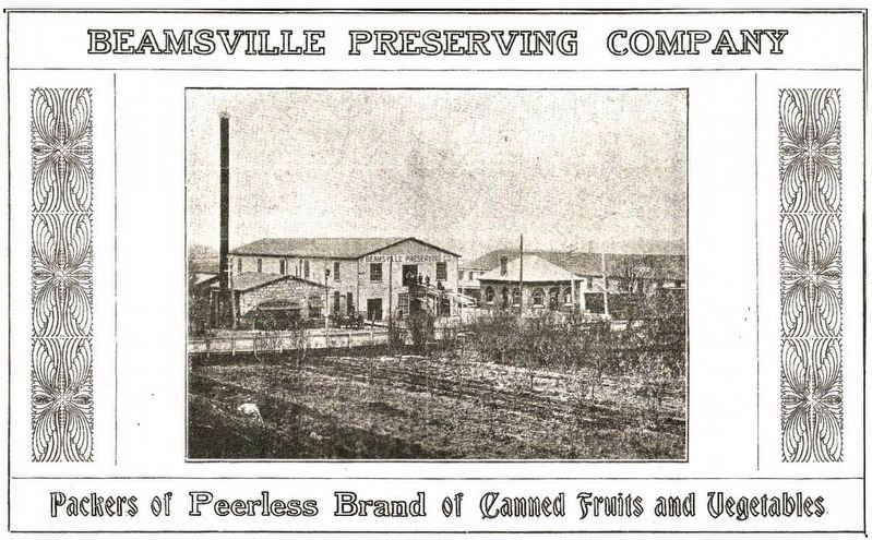
3. Advertisement for the Beamsville Preserving Company ca 1910
Source: Friends of Lincoln History (public domain)
Credits. This page was last revised on May 9, 2026. It was originally submitted on May 8, 2026, by Tim Boyd of Hamilton, Ontario. This page has been viewed 14 times since then. Photos: 1, 2, 3. submitted on May 8, 2026, by Tim Boyd of Hamilton, Ontario. • Andrew Ruppenstein was the editor who published this page.
