Farmville in Cumberland County, Virginia — The American South (Mid-Atlantic)
High Bridge
Critical Span
| — | Lee's Retreat | — |
Photographed by Craig Swain, April 18, 2010
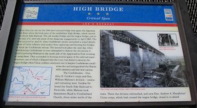
1. High Bridge Marker
The Confederates - Gen. John B. Gordon's corps and Gen. William Mahone's division - continued retreating west. Gordon followed the South Side Railroad to Farmville,
this page online
Erected by West Virginia Civil War Trails.
Topics. This historical marker is listed in this topic list: War, US Civil. A significant historical month for this entry is April 1865.
Location. 37° 19.441′ N, 78° 20.243′ W. Marker is in Farmville, Virginia, in Cumberland County. It is on River Road (County Route 600), on the right when traveling west. Located at the High Bridge parking area, along the High Bridge Trail State Park (the old Southside Railroad is now a rails-to-trails park). Touch for map. Marker is in this post office area: Farmville VA 23901, United States of America. Touch for directions.

Regionally, this marker is in the Piedmont and in Central Virginia. It is also in the American South and specifically in the Upper South. Globally, it is in North America, the Western Hemisphere, the Western World, and the Anglosphere. Historically, it finds itself in what was once the territory of the Mississippian
Photographed by Craig Swain, April 18, 2010
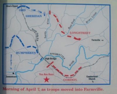
2. Map on Marker
Morning of April 7, as troops moved into Farmville. Note the north seeking arrow pointed to the bottom of the map.
Other nearby markers. At least 8 other markers are within 3 miles of this marker, measured as the crow flies: A different marker also named The High Bridge (approx. one mile away); a different marker also named The High Bridge (approx. 1½ miles away); African-Americans at High Bridge (approx. 1.6 miles away); Camp Paradise (approx. 1.7 miles away); Lest We Forget (approx. 2.7 miles away); Needham Law School (approx. 2.7 miles away); Confederate Veterans Monument (approx. 2.7 miles away); Confederate Memorial (approx. 2.7 miles away). Touch for a list and map of all markers in Farmville.
Another marker is no longer nearby. High Bridge Trail State Park (was approx. one mile away but has been replaced with another marker now near it).
More about this marker. On the right is a photo of the High Bridge and wagon bridge, 1865, looking north. An inset photo shows 1914 bridge base and original brick piers.
Regarding High Bridge. This marker was located at a pull off, roughly 1.3 miles further west on River
Photographed by Craig Swain, April 18, 2010
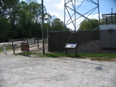
3. High Bridge Marker
Also see . . . The Battles at High Bridge. Battle summary of the actions at High Bridge on April 6-7, 1865. (Submitted on April 19, 2010, by Craig Swain of Leesburg, Virginia.)
Photographed by Craig Swain, April 18, 2010
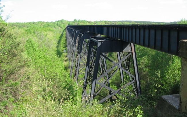
4. High Bridge
The wagon bridge crossed Appomattox River on the east side (left in this view) of the railroad bridge.
Photographed by Craig Swain, April 18, 2010
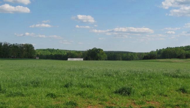
5. High Bridge From the Old Pull Off
The length of the bridge is apparent from the pull off, roughly 1.3 miles west of the rail-trail.
Photographed by Craig Swain, April 18, 2010
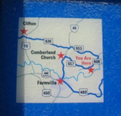
6. Area Map on Upper Left Corner
Credits. This page was last revised on June 16, 2016. It was originally submitted on April 19, 2010, by Craig Swain of Leesburg, Virginia. This page has been viewed 2,107 times since then and 48 times this year. Photos: 1, 2, 3, 4, 5, 6. submitted on April 19, 2010, by Craig Swain of Leesburg, Virginia.
